Alipur: Difference between revisions
page>Admin m (Protected "Alipur" ([Edit=Allow only administrators] (indefinite) [Move=Allow only administrators] (indefinite))) |
m (1 revision imported) |
(No difference)
| |
Revision as of 13:53, 21 July 2023
Alipur is a Village in Sohna Tehsil in Gurgaon District of Haryana State, India. It belongs to Gurgaon Division . It is located 18 KM towards South from District head quarters Gurgaon. 5 KM from Sohna. 316 KM from State capital Chandigarh. Alipur Pin code is 122102 and postal head office is Bhondsi. Ghamroj (1 KM), Ghamroj (1 KM), Dhunela (3 KM), Raisina (3 KM), Berka (4 KM) are the nearby villages to Alipur. Alipur is surrounded by Taoru Tehsil towards west, Gurgaon Tehsil towards North, Nuh Tehsil towards South, Farrukh Nagar Tehsil towards west. Sohna, Gurgaon, Faridabad, Palwal are the near by Cities to Alipur. This Place is in the border of the Gurgaon District and Mewat District. Mewat District Taoru is west towards this place.
| Alipur - Village Overview | |
|---|---|
| Gram Panchayat : | Alipur |
| Block / Tehsil : | Sohna |
| District : | Gurgaon |
| State : | Haryana |
| Pincode : | 122102 |
| Area : | 589 hectares |
| Population : | 3398(2011) |
| Updated Population : | 6000(2023) |
| Households : | 591 |
| Assembly Constituency : | Sohna |
| Parliament Constituency : | Gurgaon |
Panchayat
- Demographic
- - Total Population
- 3398(2011)
- - Male
- 3800
- - Female
- 2200
- - Sex Ratio - Ratio of: 1000
- - No. of Voters
- 2711(2023)
- - Updated Population
- 6000(2023)
- Historical
- - History of Village
- Current Panchayat
- - Sarpanch
- Poonam
- 7042572205
- Old Panchayat Body
-
- Eminent Person
- - Eminent Person
- - Sports
- - Political
- - Govt. Services
- - Armed Forces/Freedom Fighters
- - Industrialist
- - NRI
- - Religious Sect Head
- Administrative Staff
- - Gram Sachiv
- Mr. Avtaar Singh
- 9990476282
- - Sarpanch
- Poonam
- 7042572205
- - VLDA
- - Revenue Patwari
- - ADO
- - Forest Ranger
- - Asha Worker
- Vikram
- Sunita
- - Principal
- Lakshmi Chauhan (Primary School)
- Anju (Primary School)
- Anand bala (Secondary school)
- - Anganwadi Incharge
- Sareeta
- 9729246488
- - Lineman
- Rohit
- Sonpal

- - Tubewell Operator
- Wazir Rath
- Anil
- Ashok
- - Chowkidar
- Surender
- - JE Panchayati Raj
- - JE Public Health Department
- Mr. Ankit
- - JE Irrigation
- Geography Of Alipur
- - East
- - West
- - North
- - South
- - Water Level
- Self Help Group
- - Famous Product manufactured
- Youth Club
-
- Livestock
- - Majority Type of Animals
- buffalo
- - Variety of animal
- 3(cow, Buffalo, goat)
- Tourist Spot
-
- Agriculture
-
- Products, Soil Maps, crops, Farmer Data, Soil Health data, irrigation source, Crop Pattern, Land holding
- wheat, bajara
Infrastructure
- Ponds

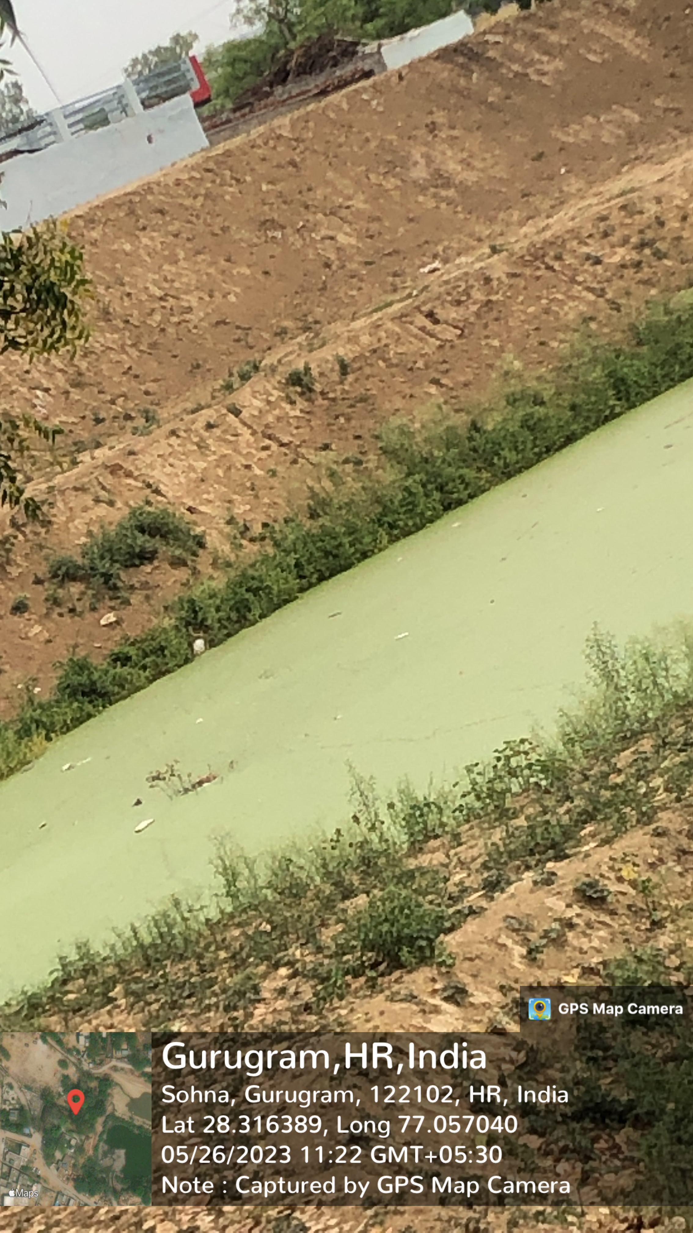
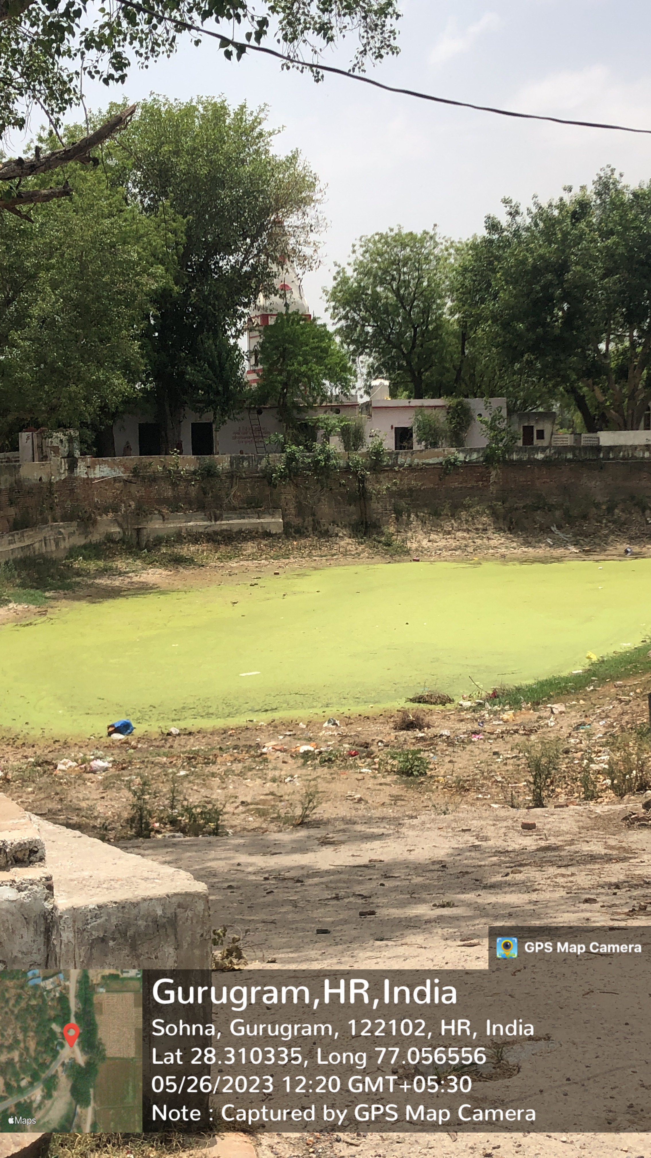
- - Wet
- 3
- - Pond 1
- - Area as per Revenue Record
- Source Link: http://hpwwma.org.in
- - Area as per Revenue Record
- - Actual Area at Site (in acre)
- 2.32
- - Actual Area at Site (in acre)
- - Latitude (in Deg-Min-Sec)
- 28°18'58N
- - Latitude (in Deg-Min-Sec)
- - Longitude (in Deg-Min-Sec)
- 77°03'27E
- - Longitude (in Deg-Min-Sec)
- - Whether the Pond is WETLAND as Identified by HARSAC
- Yes
- - Whether the Pond is WETLAND as Identified by HARSAC
- - Source of filling the Pond
- Household waste water
- - Source of filling the Pond
- - Details of Encroachments on the Pond
- Yes
- - Details of Encroachments on the Pond
- - Whether the Pond is in Abadi Area
- Yes
- - Whether the Pond is in Abadi Area
- - Remarks
- Scheme:Phase-II (MP 2022-23) Dep.:( IWRD) Year:2022-23
- - Remarks
- - Pond 2
- - Area as per Revenue Record
- Source Link: http://hpwwma.org.in
- - Area as per Revenue Record
- - Pond 2
- - Actual Area at Site (in acre)
- - Actual Area at Site (in acre)
- - Latitude (in Deg-Min-Sec)
- - Latitude (in Deg-Min-Sec)
- - Longitude (in Deg-Min-Sec)
- - Longitude (in Deg-Min-Sec)
- - Whether the Pond is WETLAND as Identified by HARSAC
- - Whether the Pond is WETLAND as Identified by HARSAC
- - Source of filling the Pond
- - Source of filling the Pond
- - Details of Encroachments on the Pond
- - Details of Encroachments on the Pond
- - Whether the Pond is in Abadi Area
- - Whether the Pond is in Abadi Area
- - Remarks
- - Remarks
- - Pond 3
- - Area as per Revenue Record
- Source Link: http://hpwwma.org.in
- - Area as per Revenue Record
- - Pond 3
- - Actual Area at Site (in acre)
- - Actual Area at Site (in acre)
- - Latitude (in Deg-Min-Sec)
- - Latitude (in Deg-Min-Sec)
- - Longitude (in Deg-Min-Sec)
- - Longitude (in Deg-Min-Sec)
- - Whether the Pond is WETLAND as Identified by HARSAC
- - Whether the Pond is WETLAND as Identified by HARSAC
- - Source of filling the Pond
- - Source of filling the Pond
- - Details of Encroachments on the Pond
- - Details of Encroachments on the Pond
- - Whether the Pond is in Abadi Area
- - Whether the Pond is in Abadi Area
- - Remarks
- - Remarks

- - Dry
- 1
- - Pond 1
- - Area as per Revenue Record
- Source Link: http://hpwwma.org.in
- - Area as per Revenue Record
- - Actual Area at Site (in acre)
- 0.80
- - Actual Area at Site (in acre)
- - Latitude (in Deg-Min-Sec)
- 28°19'00N
- - Latitude (in Deg-Min-Sec)
- - Longitude (in Deg-Min-Sec)
- 77°03'28E
- - Longitude (in Deg-Min-Sec)
- - Whether the Pond is WETLAND as Identified by HARSAC
- No
- - Whether the Pond is WETLAND as Identified by HARSAC
- - Source of filling the Pond
- Rain Fed
- - Source of filling the Pond
- - Details of Encroachments on the Pond
- No
- - Details of Encroachments on the Pond
- - Whether the Pond is in Abadi Area
- Yes
- - Whether the Pond is in Abadi Area
- - Remarks
- Duplicacy of Pond ID 01HRGGMSHN0180ALIP001
- - Remarks
- Streets
- - Kacchi
- - Pakki
- Land
-
- Assets
-
- Buildings
-
- Death rituals

- - Shamshanghat
- 1
- - Kabristan
- Religious Places


- - Mandir
- 4
- - Masjid
- - Church
- - Gurudwara
- - Khera
- Layout plans
-
- Stadiums

- 1
- Parks
-
- 1
- Gyms
-
- Library
-
- Mobile Towers
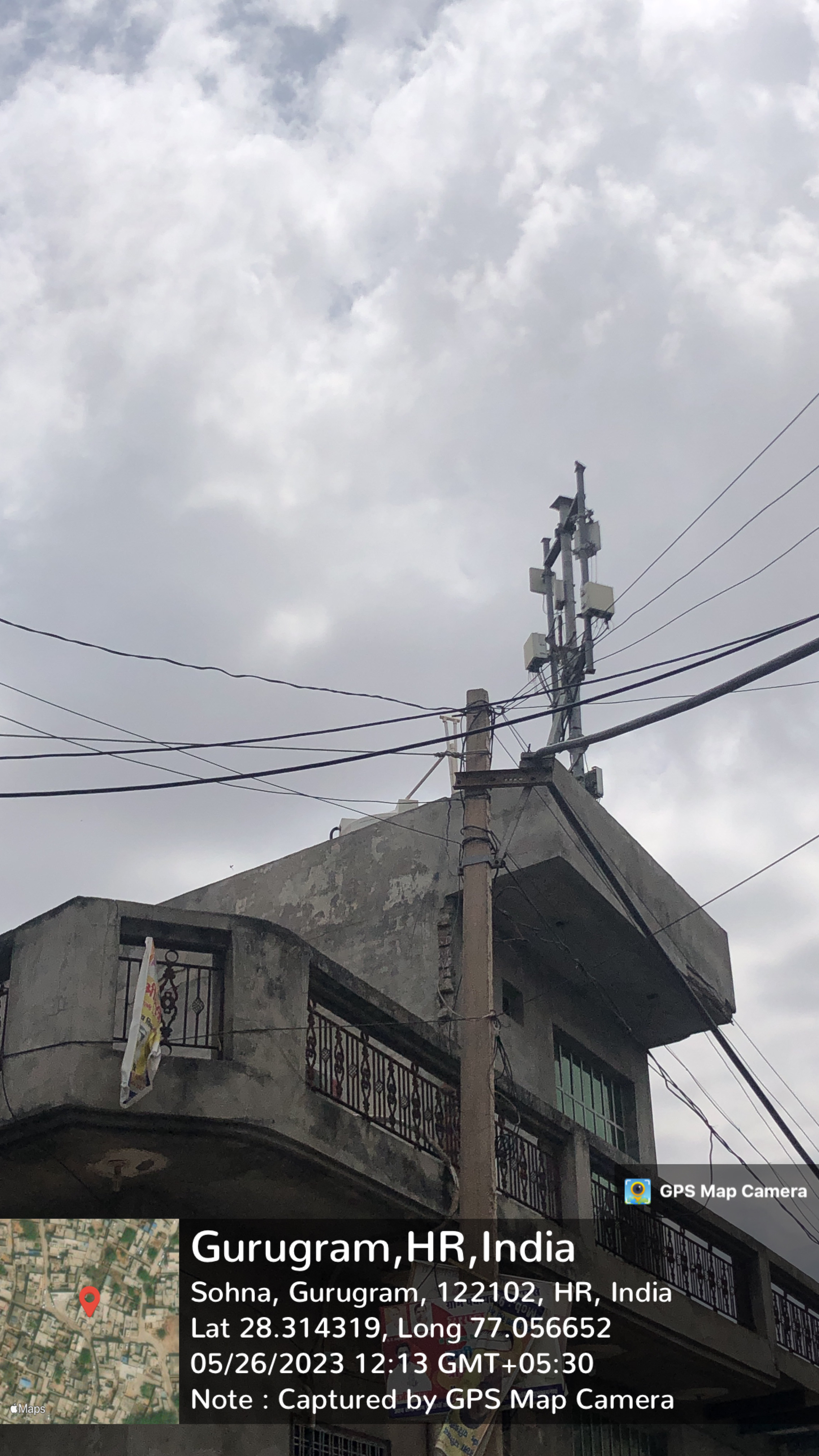
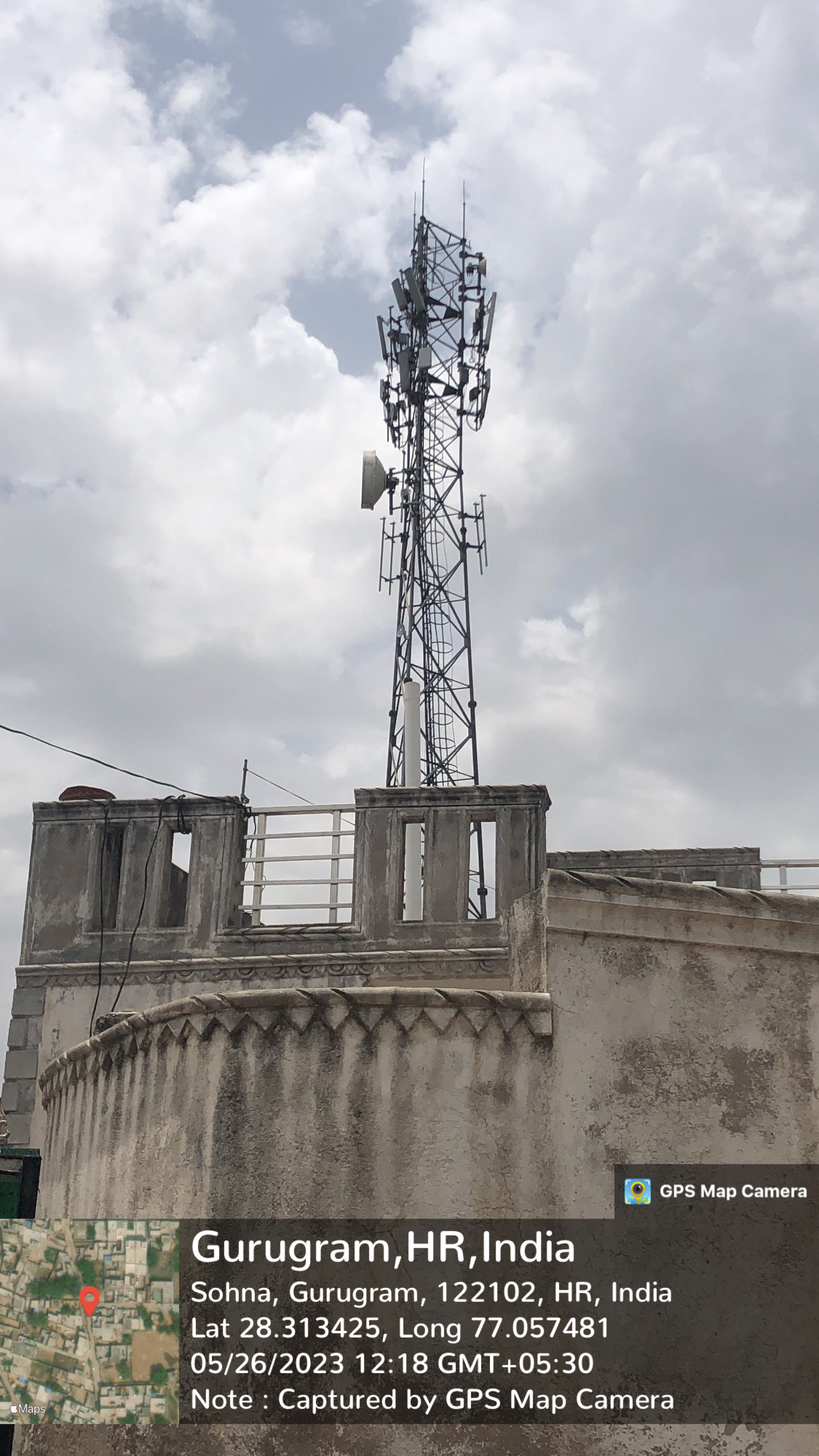

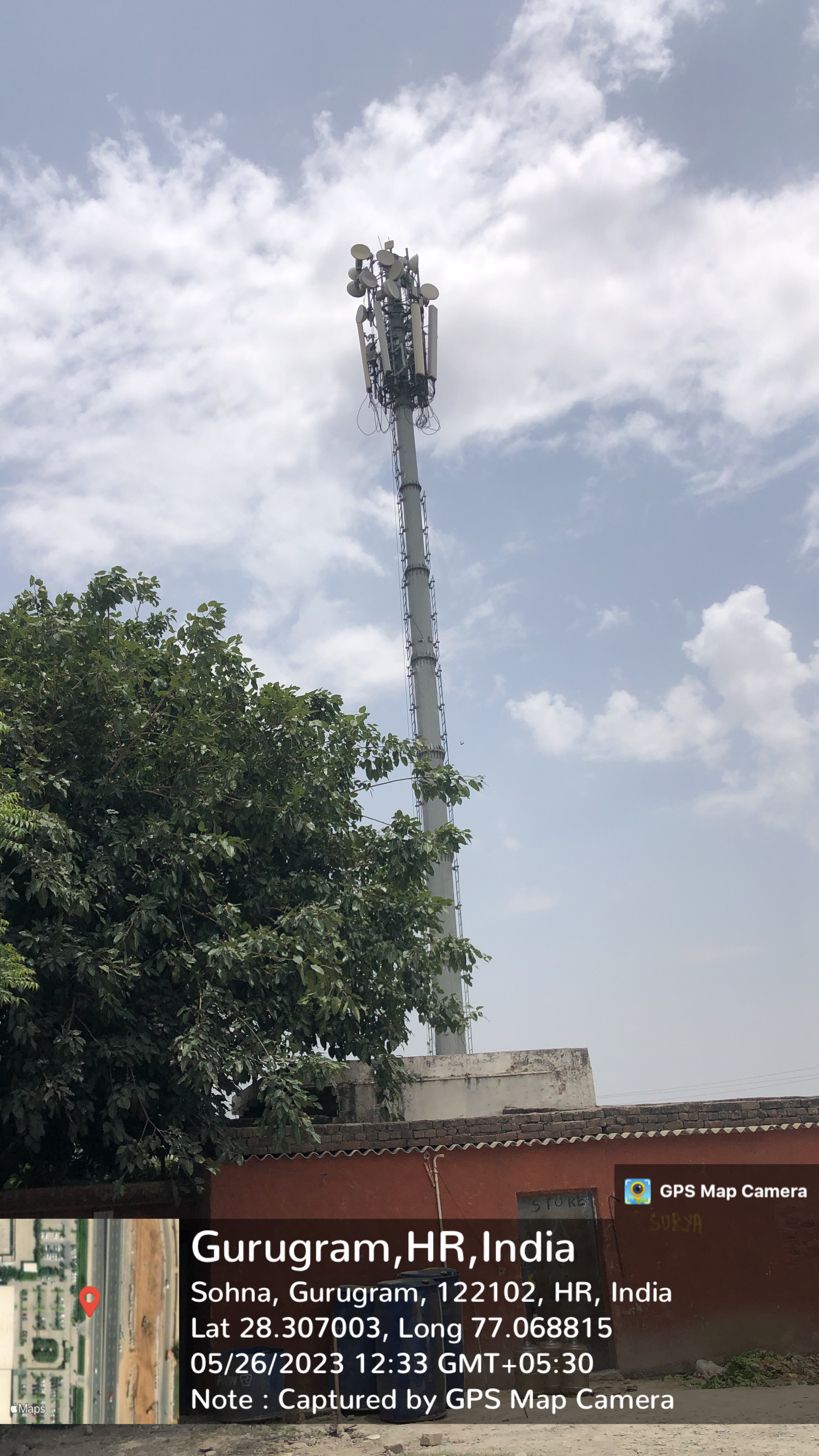
- 4
- BharatNet
-
- Substation (Electricity)
-
- Electricity Poles
-
- Industrial Infra
-
- Post offices
-
Education
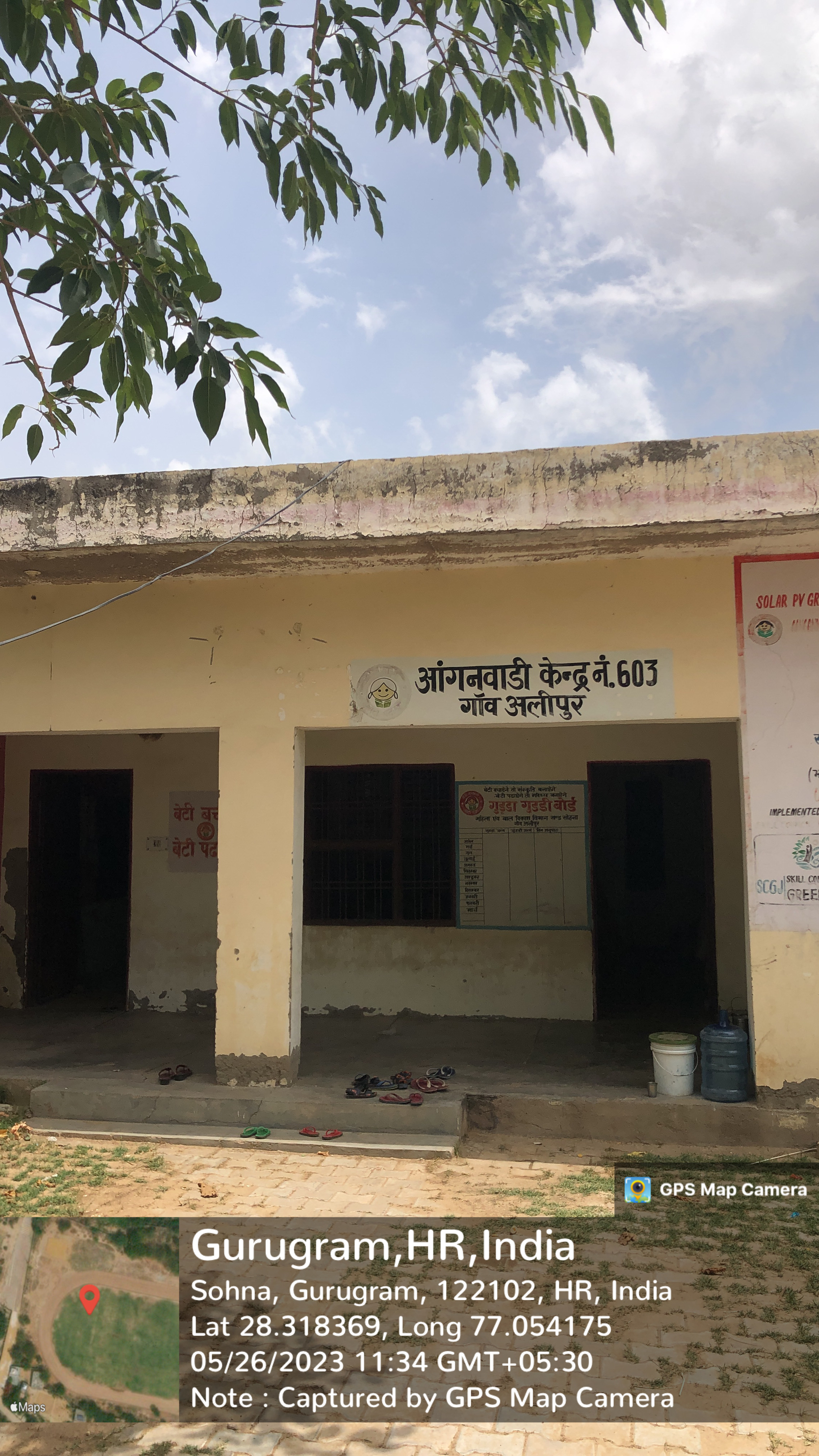
- Anganwadi
- - Anganwadi Incharge
- Sareeta
- Lalita
- - Anganwadi Code
- 603
- - Anganwadi Staff
- Sangeeta
- - Anganwadi Strength
- 89, 74
- - Anganwadi Helper
- Kiran
- Kalaawati
- Primary School


- Govt. Primary School
- Principal: Lakshmi Chauhan
- Principal: Anju
- Secondary School

- Govt. Secondary School
- Principal: Anand Bala
- Total Strength: 276
- Total Teachers: 13
- Anand Bala
- Sareeta
- Babita
- Renu Yadav
- Harsh
- Suman
- Archana
- Priya
- Amarpal
- Seema
- Colleges
-
- Tuition Teachers
-
- ITI
-
- University
-
- Coaching Centre
-
- Student Profile
-
Industry
- Type of Industries based on size
-
- Type of Industries based on domain / product
-
- Work force Type
-
Health
- Hospitals
-
- Dispensaries
-
- CHC
-
- PHC
-
- Sub-health centers
-
- Facilities
-
- Medical stores with Timing
-
- Chemist shops
-
- 1
- Colleges
-
- Mal-Nutritions Data
-
- Pregnant Women Data
-
- Juvenile Committees
-
Banks
- Banks with branches
- -2
- ATMâs
-
- Financial Institutions
-
- Non Financial Institutions
-
- Business Correspondents
-
Social
- Old Age Pension
-
- Disabled Pension
-
- Scholarships
-
- Ration Card
-
- BPL Card
-
- Chirayu Card
-
- ESI Card
-
Bio Diversity
- Flora Species
-
- wheat, bazra, mustard
Commercial / Business
- Shops
- - General Store
- - Hardware
- - Seeds
- - Grocery
- - Textile
- Showrooms


- - 2
- Nexa
- Hyundai
- Warehouses

- 1
- Cold Storage
-
- Courier/Postal
-
- pin: 122103
- Resort/Hotel
-
Supply Chain Management
- Hafed/Other
-
Aquifer Information
- General Information
- - Geographical area :
- - Basin/Sub basin :
- - Principal Aquifer system :
- - Major Aquifer System :
- - Normal Annual Rainfall :
- Aquifer Disposition
- - Aquifer Disposition :
- - Status of GW Exploration :
- - Aquifer Characteristics :
- - CGWB Monitoring Status :
- - GW Quality :
- - Aquifer Potential :
- Aquifer Management Plan
- - GW Management Issues :
- - GW Resource :
- - GW Stage of Development (%) :
- - Existing and Future Water Demand :
- - GW Management Plan :
- - AR & Conservation Possibilities:
How to reach?
Source links on below
| Place | Type | Lat-Long | Link |
|---|---|---|---|
| Ponds | Wet | 28.31624287239342, 77.05773613532604 | https://goo.gl/maps/YNC9aB6JCiYZKAvXA |
| 28.319535134045175, 77.0529807859604 | https://goo.gl/maps/1fzs5hqEkafVzQze6 | ||
| Dry | 28.30987301768498, 77.05646726204382 | https://goo.gl/maps/HvFSA3uTZ5rRyewP6 | |
| Streets | Kacchi | - | - |
| Pakki | - | - | |
| Land | - | - | |
| Assets | - | - | |
| Buildings | - | - | |
| Death rituals | Shamshanghat | - | - |
| Kabristan | - | - | |
| Religious Places | Mandir | 28.318659930839463, 77.0535648660153 | https://goo.gl/maps/qESJ2ahqDa9D9SXS6 |
| 28.31921714012415, 77.05259040296917 | https://goo.gl/maps/bPS54W1GRQJqUPM66 | ||
| 28.317820072877552, 77.05436250758126 | https://goo.gl/maps/WfACi9943iiVkAAAA | ||
| 28.316284006073595, 77.05692374592094 | https://goo.gl/maps/1wHP6xWRjx9RB5UA6 | ||
| Masjid | 28.314312414865853, 77.05664064330824 | https://goo.gl/maps/LSoe7ytxAhEQxxtX6 | |
| Church | - | - | |
| Gurudwara | - | - | |
| Khera | - | - | |
| Layout plans | - | - | |
| Stadiums | - | - | |
| Parks | - | - | |
| Gyms | - | - | |
| Library | - | - | |
| Mobile Towers | 28.314190755145965, 77.05654688948268 | https://goo.gl/maps/8YXffjMai99HmvkYA | |
| 28.313354993887895, 77.05757675403889 | https://goo.gl/maps/cQGmVQX1Pcc3PdL8A | ||
| BharatNet | - | - | |
| Substation (Electricity) | - | - | |
| Electricity Poles | - | - | |
| Industrial Infra | - | - | |
| Post offices | - | - |