Hazipur
Hazipur is a Village in Sohna Tehsil in Gurgaon District of Haryana State, India. It belongs to Gurgaon Division . It is located 22 KM towards South from District head quarters Gurgaon. 319 KM from State capital Chandigarh. Hazipur Pin code is 122103 and postal head office is Sohna. Hazipur is surrounded by Taoru Tehsil towards west, Gurgaon Tehsil towards North, Nuh Tehsil towards South, Mewat Tehsil towards South. Sohna, Gurgaon, Faridabad, Palwal are the near by Cities to Hazipur.
| Hazipur - Village Overview | |
|---|---|
| Gram Panchayat : | Hazipur |
| Block / Tehsil : | Sohna |
| District : | Gurgaon |
| State : | Haryana |
| Pincode : | 122103 |
| Area : | 269 hectares |
| Population : | 3200 |
| Updated Population : | 3200 |
| Households : | 349 |
| Assembly Constituency : | Sohna |
| Parliament Constituency : | Gurgaon |
Panchayat
- Demographic
- - Total Population
- 3200
- - Male
- 1700
- - Female
- 1500
- - Sex Ratio - Ratio of: 1000
- 979
- - No. of Voters
- 1451
- - Updated Population
- 3200
- Historical
- - History of Village
- Current Panchayat
- - Sarpanch
- Mr. Sandeep
- 9991436753
- - Panch
- Mr. Naveen Yadav, 7027136315
- Mr. Pehlad, 9812042480
- Mr. Pawan, 8800759035
- Mr. Rahul, 8059286314
- Old Panchayat Body
-
- Eminent Person
- - Eminent Person
- Gaurav Chug
- Naresh Gahlot
- - Sports
- - Political
- - Govt. Services
- - Armed Forces/Freedom Fighters
- Het Ram
- Giri Raj
- - Industrialist
- - NRI
- - Religious Sect Head
- Administrative Staff
- - Gram Sachiv
- Mr. Biljeet
- 9416763029
- - Sarpanch
- Mr. Sandeep
- 9991436753
- - VLDA
- - Revenue Patwari
- - ADO
- Manoj
- - Forest Ranger
- - Asha Worker
- Mrs. Renu
- Mrs. Pinky
- Mrs. Krishna
- - Principal
- Dharampal
- - Anganwadi Incharge
- Mrs. Krishna
- - Lineman
- Mahendar
- Hemant
- 8168754792
- - Tubewell Operator
- Chanderpal
- 9813094853
- - Chowkidar
- Anil kumar
- 8053622837
- - JE Panchayati Raj
- Shri Ram Narayan
- 9050231516
- - JE Public Health Department
- Dawlat Ram
- 981307202
- - JE Irrigation
- Raj Kumar
- 9255656931
- Geography Of Hazipur
- - East
- - West
- - North
- - South
- - Water Level
- Self Help Group
- - Famous Product manufactured
- Youth Club
-
- Livestock
- - Majority Type of Animals
- buffalo
- - Variety of animal
- 3(cow, Buffalo, goat)
- Tourist Spot
-
- Agriculture
-
- Products, Soil Maps, crops, Farmer Data, Soil Health data, irrigation source, Crop Pattern, Land holding
- wheat, bajara
Infrastructure
- Ponds
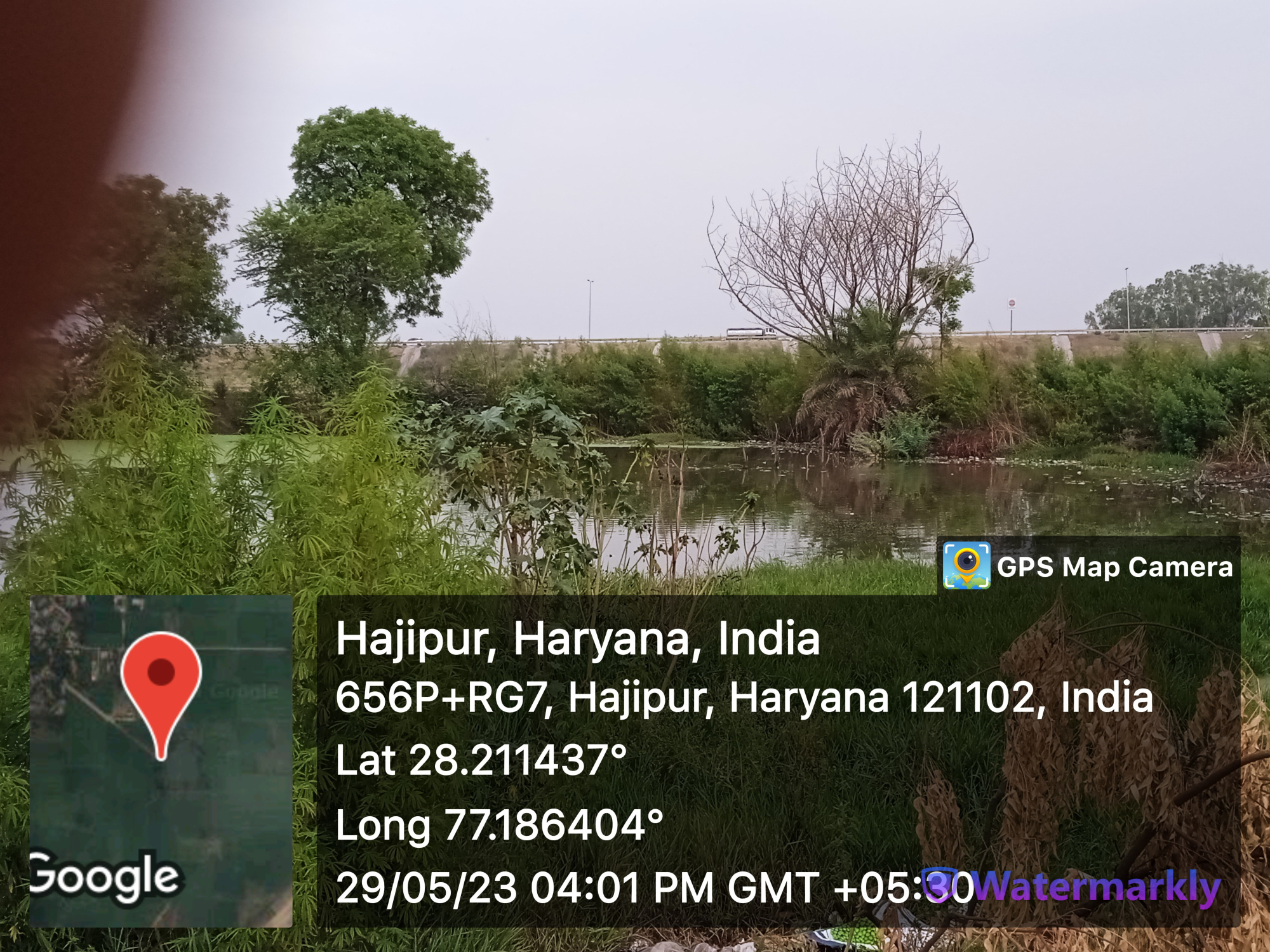

- - Wet
- 2
- - Pond 1
- - Area as per Revenue Record
- Source Link: http://hpwwma.org.in
- - Area as per Revenue Record
- - Actual Area at Site (in acre)
- 0.62
- - Actual Area at Site (in acre)
- - Latitude (in Deg-Min-Sec)
- 28°12'41N
- - Latitude (in Deg-Min-Sec)
- - Longitude (in Deg-Min-Sec)
- 77°11'11E
- - Longitude (in Deg-Min-Sec)
- - whether the Pond is WETLAND as Identified by HARSAC
- No
- - whether the Pond is WETLAND as Identified by HARSAC
- - Source of filling the Pond
- Rain Fed
- - Source of filling the Pond
- - Details of Encroachments on the Pond
- No
- - Details of Encroachments on the Pond
- - whether the Pond is in Abadi Area
- No
- - whether the Pond is in Abadi Area
- - Remarks
- Listed in GMDA list
- - Remarks
- - Pond 2
- - Area as per Revenue Record
- Source Link: http://hpwwma.org.in
- - Area as per Revenue Record
- - Pond 2
- - Actual Area at Site (in acre)
- 3.50
- - Actual Area at Site (in acre)
- - Latitude (in Deg-Min-Sec)
- 28°12'52N
- - Latitude (in Deg-Min-Sec)
- - Longitude (in Deg-Min-Sec)
- 77°11'06E
- - Longitude (in Deg-Min-Sec)
- - whether the Pond is WETLAND as Identified by HARSAC
- No
- - whether the Pond is WETLAND as Identified by HARSAC
- - Source of filling the Pond
- Tubewell
- - Source of filling the Pond
- - Details of Encroachments on the Pond
- No
- - Details of Encroachments on the Pond
- - whether the Pond is in Abadi Area
- No
- - whether the Pond is in Abadi Area
- - Remarks
- Listed in GMDA list, Having good condition
- - Remarks

- - Dry
- 2
- - Pond 1
- - Area as per Revenue Record
- Source Link: http://hpwwma.org.in
- - Area as per Revenue Record
- - Actual Area at Site (in acre)
- 1.75
- - Actual Area at Site (in acre)
- - Latitude (in Deg-Min-Sec)
- 28°25'10N
- - Latitude (in Deg-Min-Sec)
- - Longitude (in Deg-Min-Sec)
- 76°51'15E
- - Longitude (in Deg-Min-Sec)
- - whether the Pond is WETLAND as Identified by HARSAC
- No
- - whether the Pond is WETLAND as Identified by HARSAC
- - Source of filling the Pond
- Others
- - Source of filling the Pond
- - Details of Encroachments on the Pond
- No
- - Details of Encroachments on the Pond
- - whether the Pond is in Abadi Area
- No
- - whether the Pond is in Abadi Area
- - Remarks
- dried up and land use change into scrub land
- - Remarks
- - Pond 2
- - Area as per Revenue Record
- Source Link: http://hpwwma.org.in
- - Area as per Revenue Record
- - Pond 2
- - Actual Area at Site (in acre)
- 1.00
- - Actual Area at Site (in acre)
- - Latitude (in Deg-Min-Sec)
- 28°25'14N
- - Latitude (in Deg-Min-Sec)
- - Longitude (in Deg-Min-Sec)
- 76°52'07E
- - Longitude (in Deg-Min-Sec)
- - whether the Pond is WETLAND as Identified by HARSAC
- No
- - whether the Pond is WETLAND as Identified by HARSAC
- - Source of filling the Pond
- Household waste water
- - Source of filling the Pond
- - Details of Encroachments on the Pond
- No
- - Details of Encroachments on the Pond
- - whether the Pond is in Abadi Area
- No
- - whether the Pond is in Abadi Area
- - Remarks
- dried up attention is required
- - Remarks
- Streets
- - Kacchi
- - Pakki
- Land
-
- Assets
-
- Buildings

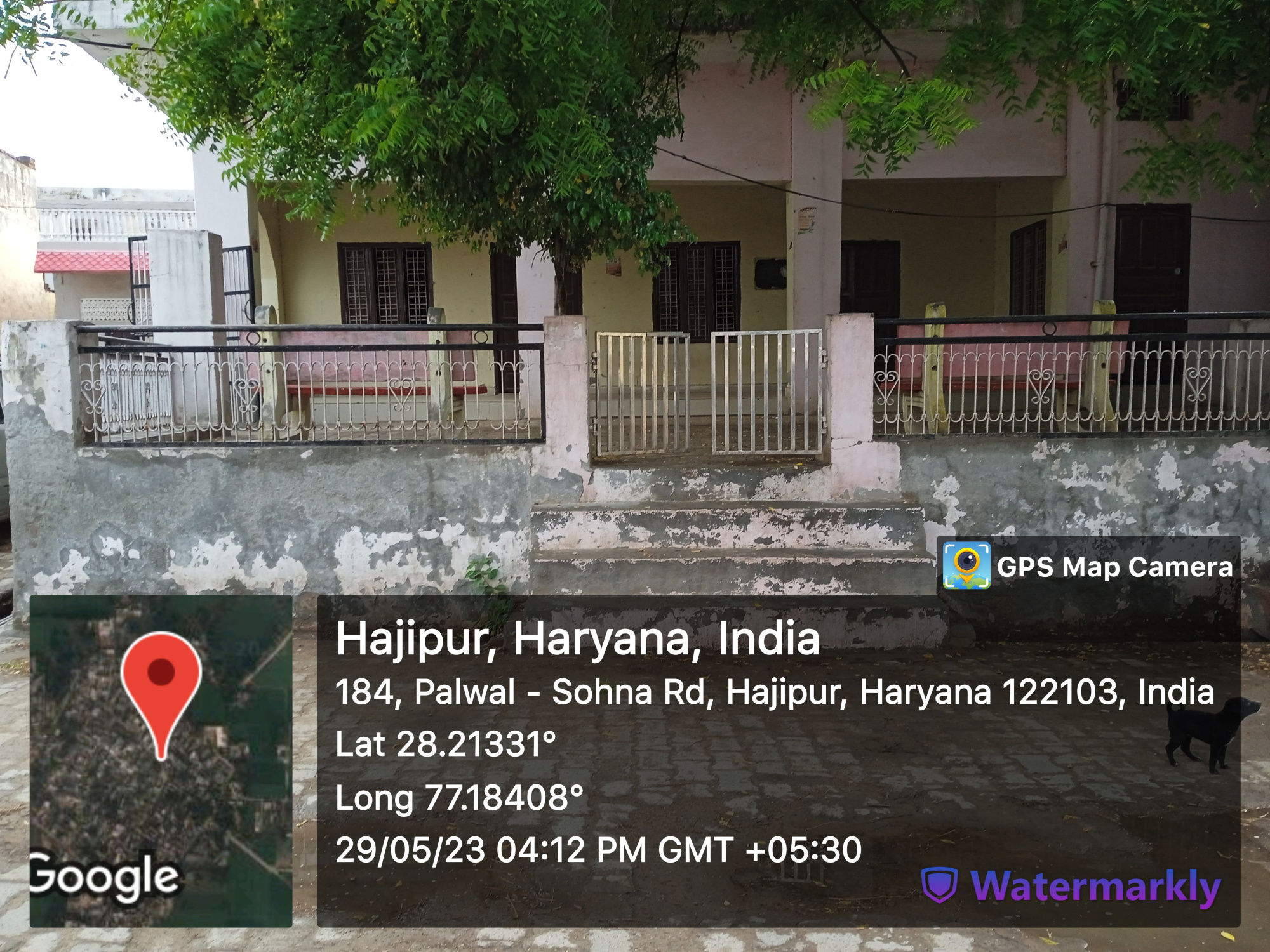


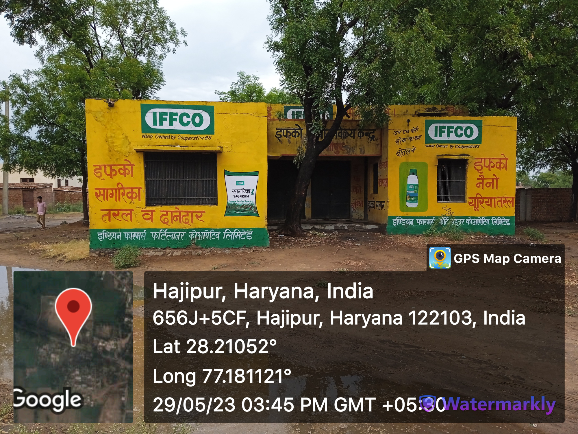

- Chaupal
- Community center
- Godam
- Water Supply
- Death rituals

- - Shamshanghat
- 1
- - Kabristan
- Religious Places

- - Mandir
- 1
- - Masjid
- - Church
- - Gurudwara
- - Khera
- Layout plans
-
- Stadiums
-
- Parks
-
- Gyms
-

- Library
-
- 1


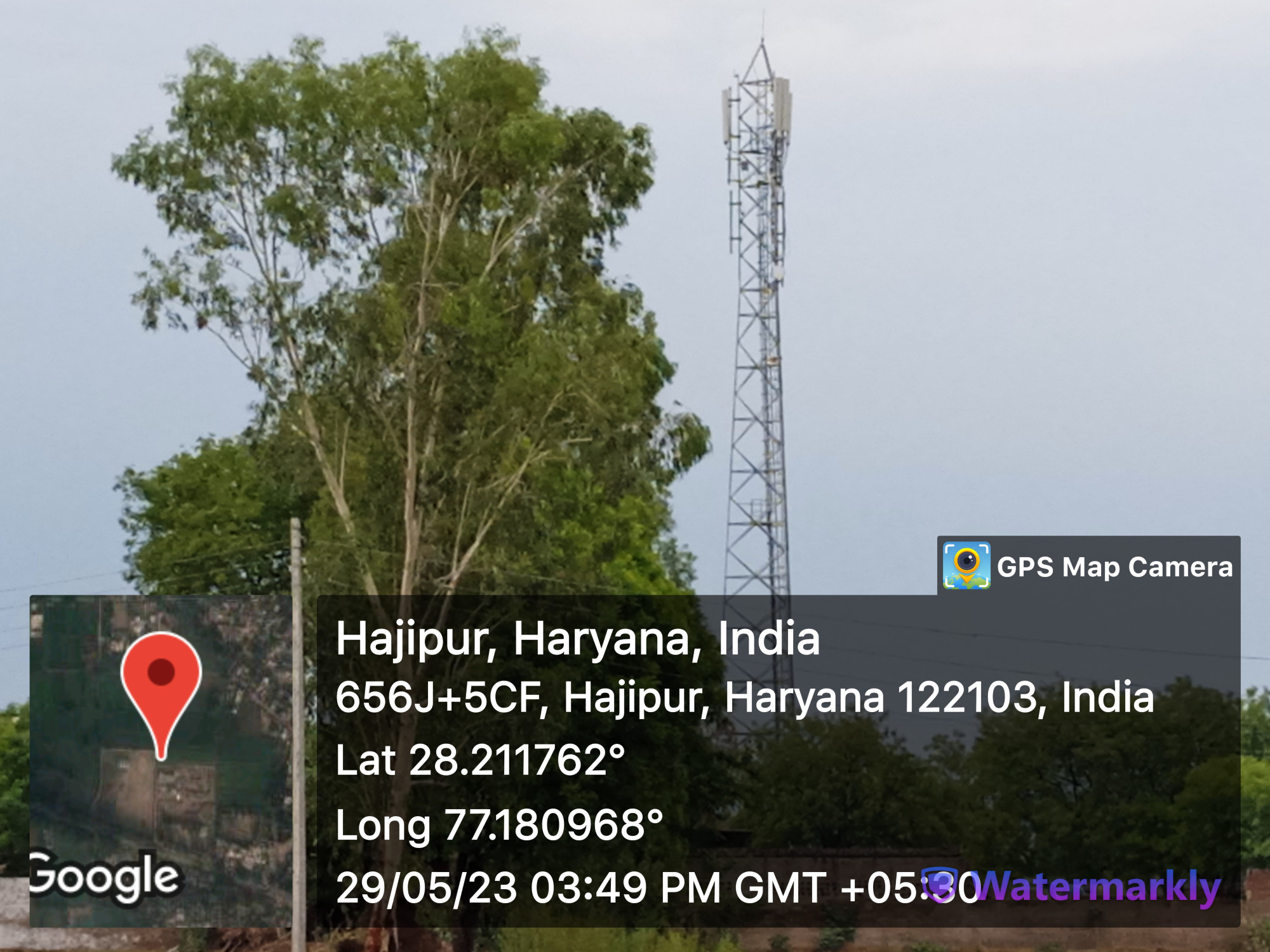
- Mobile Towers
-
- 3
- BharatNet
-
- Substation (Electricity)
-
- Electricity Poles
-
- Industrial Infra
-
- Post offices
-
- 1
Education


- Anganwadi
- - Anganwadi Incharge
- Mr. saroj bala
- - Anganwadi Code
- 408, 407
- - Anganwadi Staff
- Sanelata, 9467919996
- Seema, 8708055843
- Babli, 8053152047
- - Anganwadi Strength
- 34
- - Anganwadi Helper
- Primary School

- Principal: Dharampal
- Secondary School

- Principal: Ramesh Kumar
- Total Strength: 254
- Total Teachers: 9
- Satish Kumar
- Garish Kumar
- Ramnivas
- Sanjay Kumar
- Mintu Kumar
- Sanjay
- Mahender Singh
- Ranveer
- Colleges
-
- Tuition Teachers
-
- ITI
-
- University
-
- Coaching Centre
-
- Student Profile
-
Industry
- Type of Industries based on size
-
- Type of Industries based on domain / product
-
- Work force Type
-
Health
- Hospitals
-
- Dispensaries
-
- CHC
-
- PHC
-
- Sub-health centers
-
- Facilities
-
- Medical stores with Timing
-
- 1
- Chemist shops

- 1
- Colleges
-
- Mal-Nutritions Data
-
- Pregnant Women Data
-
- Juvenile Committees
-
Banks

- Banks with branches
- -1 under construction
- ATMâs
- -
- Financial Institutions
- -
- Non Financial Institutions
- -
- Business Correspondents
- -
Social
- Old Age Pension
-
- Disabled Pension
-
- Scholarships
-
- Ration Card
-
- BPL Card
-
- Chirayu Card
-
- ESI Card
-
Bio Diversity
- Flora Species
-
- wheat, bazra, mustard
Commercial / Business
- Shops

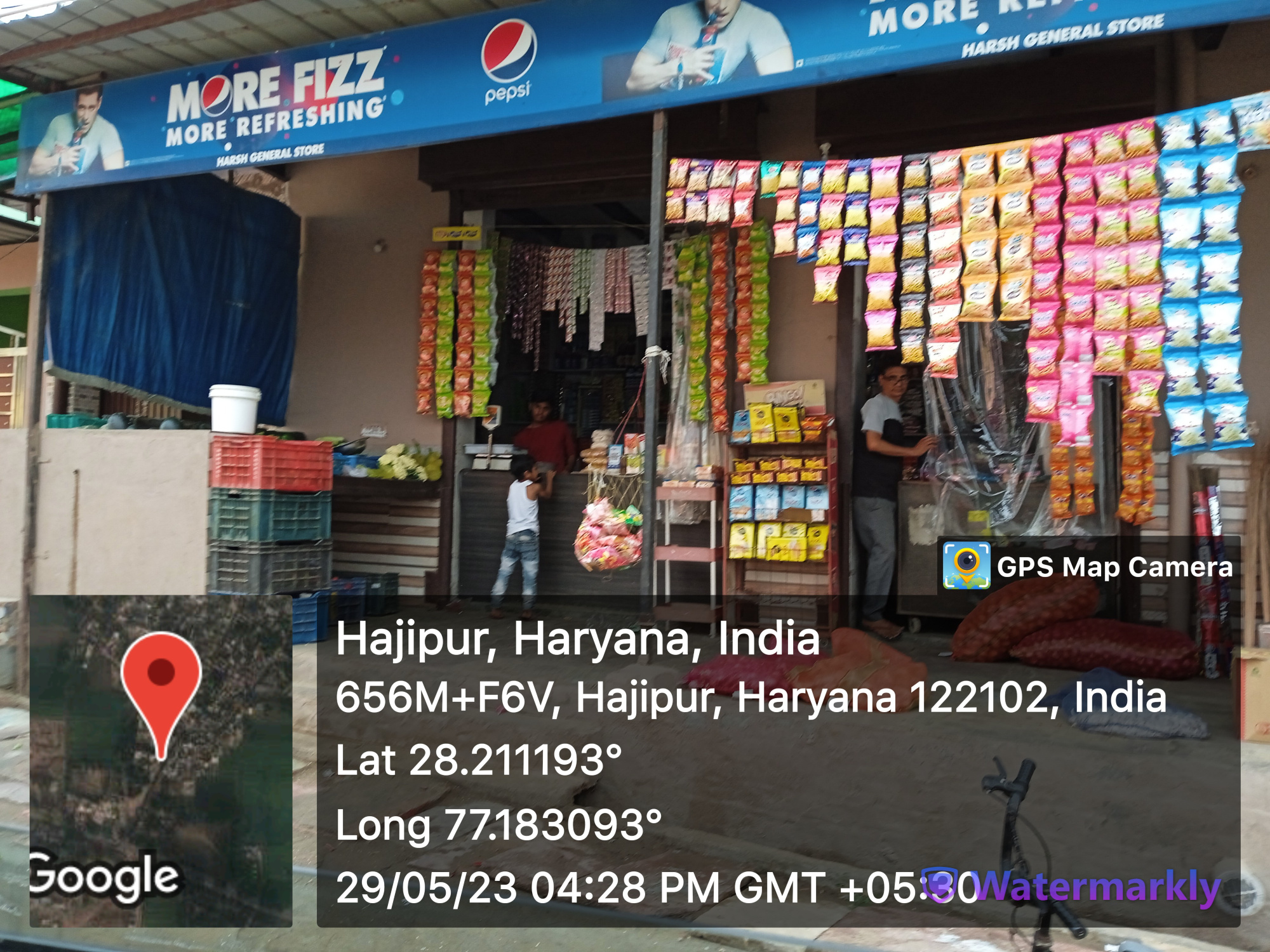

- - General Store
- 15

- - Hardware
- 1
- - Seeds
- - Grocery
- - Textile
- Showrooms
-
- Warehouses
-
- Cold Storage
-
- Courier/Postal
-
- Resort/Hotel
-
Supply Chain Management
- Hafed/Other
-
Aquifer Information
- General Information
- - Geographical area :
- - Basin/Sub basin :
- - Principal Aquifer system :
- - Major Aquifer System :
- - Normal Annual Rainfall :
- Aquifer Disposition
- - Aquifer Disposition :
- - Status of GW Exploration :
- - Aquifer Characteristics :
- - CGWB Monitoring Status :
- - GW Quality :
- - Aquifer Potential :
- Aquifer Management Plan
- - GW Management Issues :
- - GW Resource :
- - GW Stage of Development (%) :
- - Existing and Future Water Demand :
- - GW Management Plan :
- - AR & Conservation Possibilities:
How to reach?
Source links on below
| Place | Type | Lat-Long | Link |
|---|---|---|---|
| Ponds | Wet | 28.211360703995787, 77.186700208452 | https://goo.gl/maps/XjLaBAHBeFMRN6tV8 |
| 28.21411042640057, 77.18475042248149 | https://goo.gl/maps/7TCakdRvQRmhi9fh6 | ||
| Dry | 28.214330049136663, 77.18871348837777 | https://goo.gl/maps/YtwLpBi65kSwmBVVA | |
| Streets | Kacchi | - | - |
| Pakki | - | - | |
| Land | - | - | |
| Assets | - | - | |
| Buildings | 28.217072653422747, 77.18966461290428 | https://goo.gl/maps/EmHqUYnvR7W1u7Ay5 | |
| 28.213314853126263, 77.18409741363901 | https://goo.gl/maps/nz6swe5nHZmiW9fo8 | ||
| 28.210888242240742, 77.18156419532131 | https://goo.gl/maps/Nu3vy9qCGyu6FiTn6 | ||
| 28.21129277097935, 77.18121247351907 | https://goo.gl/maps/qss19v7Qwvdo3bRGA | ||
| Death rituals | Shamshanghat | 28.214669767789196, 77.1881648860288 | https://goo.gl/maps/R74LBjUNPLnirkr38 |
| Kabristan | - | - | |
| Religious Places | Mandir | 28.210408735231763, 77.18215896859795 | https://goo.gl/maps/bqA2gfnfiSM881ma9 |
| Masjid | - | - | |
| Church | - | - | |
| Gurudwara | - | - | |
| Khera | - | - | |
| Layout plans | - | - | |
| Stadiums | 28.211633154933796, 77.18071897328173 | https://goo.gl/maps/7tGpMrqLy9DjgsHT8 | |
| Parks | - | - | |
| Gyms | - | - | |
| Library | 28.21130073423484, 77.181211815705 | https://goo.gl/maps/oFqmV7N51q5SVCyY7 | |
| Mobile Towers | 28.210088966673283, 77.1816618629562 | https://goo.gl/maps/e2bVBNLGQycKKTtVA | |
| BharatNet | - | - | |
| Substation (Electricity) | - | - | |
| Electricity Poles | - | - | |
| Industrial Infra | - | - | |
| Post offices | - | - |