Sancholi
Sancholi is a Village in Sohna Tehsil in Gurgaon District of Haryana State, India. It belongs to Gurgaon Division . It is located 30 KM towards South from District head quarters Gurgaon. 8 KM from Sohna. 327 KM from State capital Chandigarh. Sancholi Pin code is 122103 and postal head office is Sohna. Nunera (2 KM),Baluda (2 KM),Silani (3 KM),Kharoda (4 KM),Harchandpur (5 KM) are the nearby Villages to Sancholi. Sancholi is surrounded by Nuh Tehsil towards South,Taoru Tehsil towards west,Mewat Tehsil towards South,Palwal Tehsil towards East. Sohna,Palwal,Gurgaon,Faridabad are the near by Cities to Sancholi. This Place is in the border of the Gurgaon District and Mewat District.Mewat District Taoru is west towards this place.
| Sancholi - Village Overview | |
|---|---|
| Gram Panchayat : | Sancholi |
| Block / Tehsil : | Sohna |
| District : | Gurgaon |
| State : | Haryana |
| Pincode : | 122103 |
| Area : | 463 hectares |
| Population : | 2728 |
| Updated Population : | 5000+ |
| Households : | 395 |
| Assembly Constituency : | Sohna |
| Parliament Constituency : | Gurgaon |
Panchayat
- Demographic
- - Total Population
- 2728
- - Male
- 1402
- - Female
- 1326
- - Sex Ratio
- 984
- - No. of Voters
- 1800(2023)
- -Updated population
- 5000+
- Historical
- - History of Village
- Current Panchayat
- - Sarpanch
- Mr. Gulshan
- - Panch
- Mr. Sajid
- Mr. Zubair
- Mrs. Shahnaz
- Mrs. Nusrat
- Mrs. Kavita
- Mr. Ameen
- Mr. Rahees
- Old Panchayat Body
-
- Year: 2017
- Sarpanch: Jyoti
- Eminent Person
- - Eminent Person
- - Sports
- - Political
- - Govt. Services
- - Armed Forces/Freedom Fighters
- - Industrialist
- - NRI
- - Religious Sect Head
- Administrative Staff
- - Gram Sachiv
- Paramveer Singh
- - Sarpanch
- Mr. Gulshan
- - VLDA
- - Revenue Patwari
- - ADO
- - Forest Ranger
- - Asha Worker
- Kiran
- Samlata
- - Principal
- - Anganwadi Incharge
- Santosh
- - Lineman
- Mr. Sunder
- - Tubewell Operator
- Ramakant
- - Chowkidar
- Arif
- - JE Panchayati Raj
- Ram Narayan
- - JE Public Health Department
- Mr. Dolat Ram
- - JE Irrigation
- Geography Of Sancholi
- - East
- - West
- - North
- - South
- - Water Level
- Self Help Group
- - Famous Product manufactured
- Youth Club
-
- Livestock
- - Majority Type of Animals
- - Variety of animal
- Tourist Spot
-
- Agriculture
-
- Products, Soil Maps, crops, Farmer Data, Soil Health data, irrigation source, Crop Pattern, Land holding
Infrastructure
- Ponds

- - Wet
- 1
- - Pond 1
- - Area as per Revenue Record
- Source Link: http://hpwwma.org.in
- - Area as per Revenue Record
- - Actual Area at Site (in acre)
- 1.10
- - Actual Area at Site (in acre)
- - Latitude (in Deg-Min-Sec)
- 28°13'48N
- - Latitude (in Deg-Min-Sec)
- - Longitude (in Deg-Min-Sec)
- 77°07'25E
- - Longitude (in Deg-Min-Sec)
- - Weather the Pond is WETLAND as Identified by HARSAC
- No
- - Weather the Pond is WETLAND as Identified by HARSAC
- - Source of filling the Pond
- Rain Fed
- - Source of filling the Pond
- - Details of Encroachments on the Pond (if any)
- No
- - Details of Encroachments on the Pond (if any)
- - Weather the Pond is in Abadi Area
- No
- - Weather the Pond is in Abadi Area
- - Remarks
- Listed in GMDA list as village pond
- - Remarks
- - Dry
- Streets
- - Kacchi
- - Pakki
- Land
-
- Assets
-
- Buildings
-
- Death rituals
- - Shamshanghat


- 3
- - Kabristan

- 1
- Religious Places
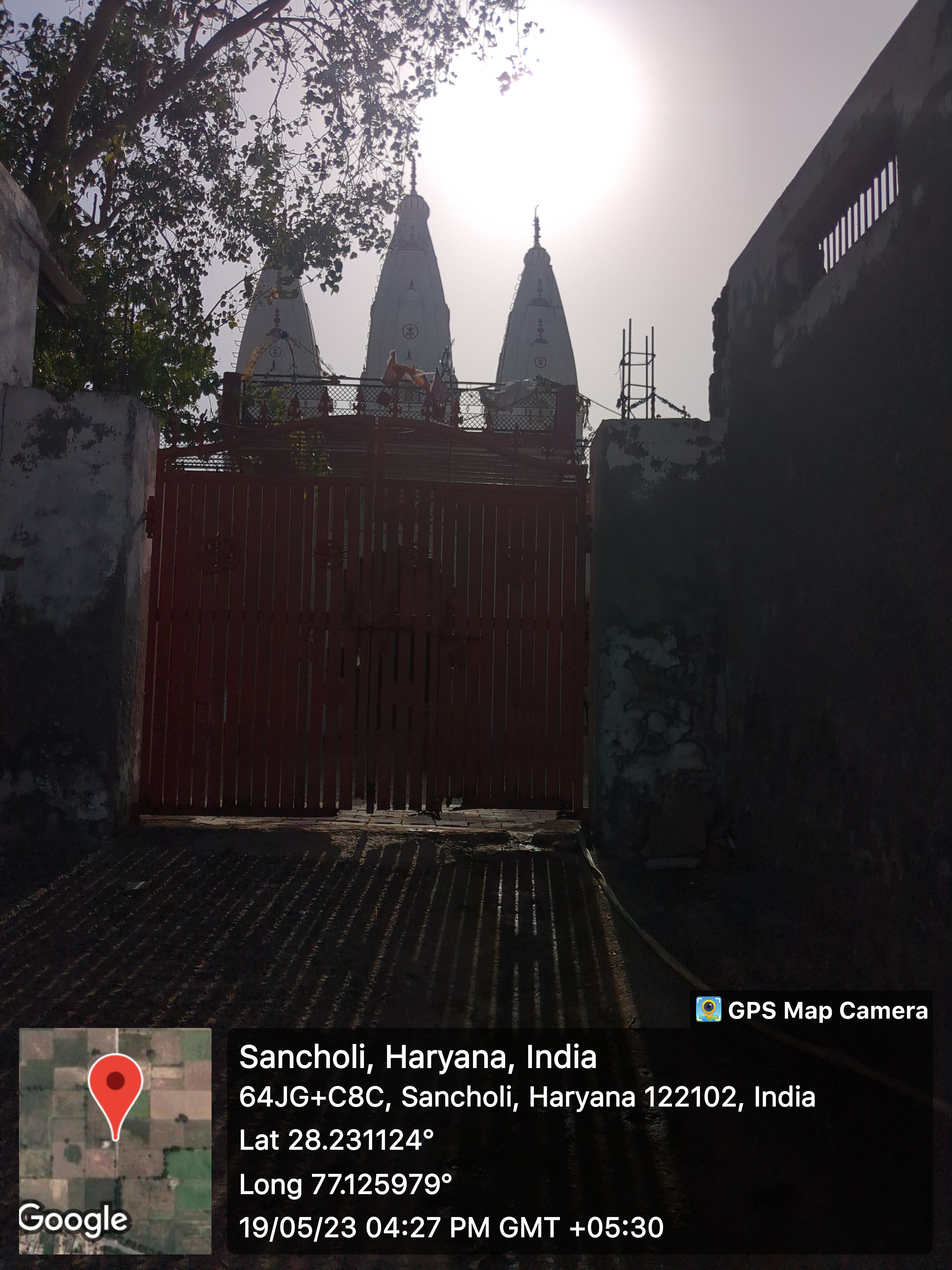
- - Mandir

- 1
- - Masjid

- 4
- - Church
- - Gurudwara
- - Khera
- Layout plans
-
- 1
- Stadiums
-
- Parks
-
- Gyms
-
- Library
-
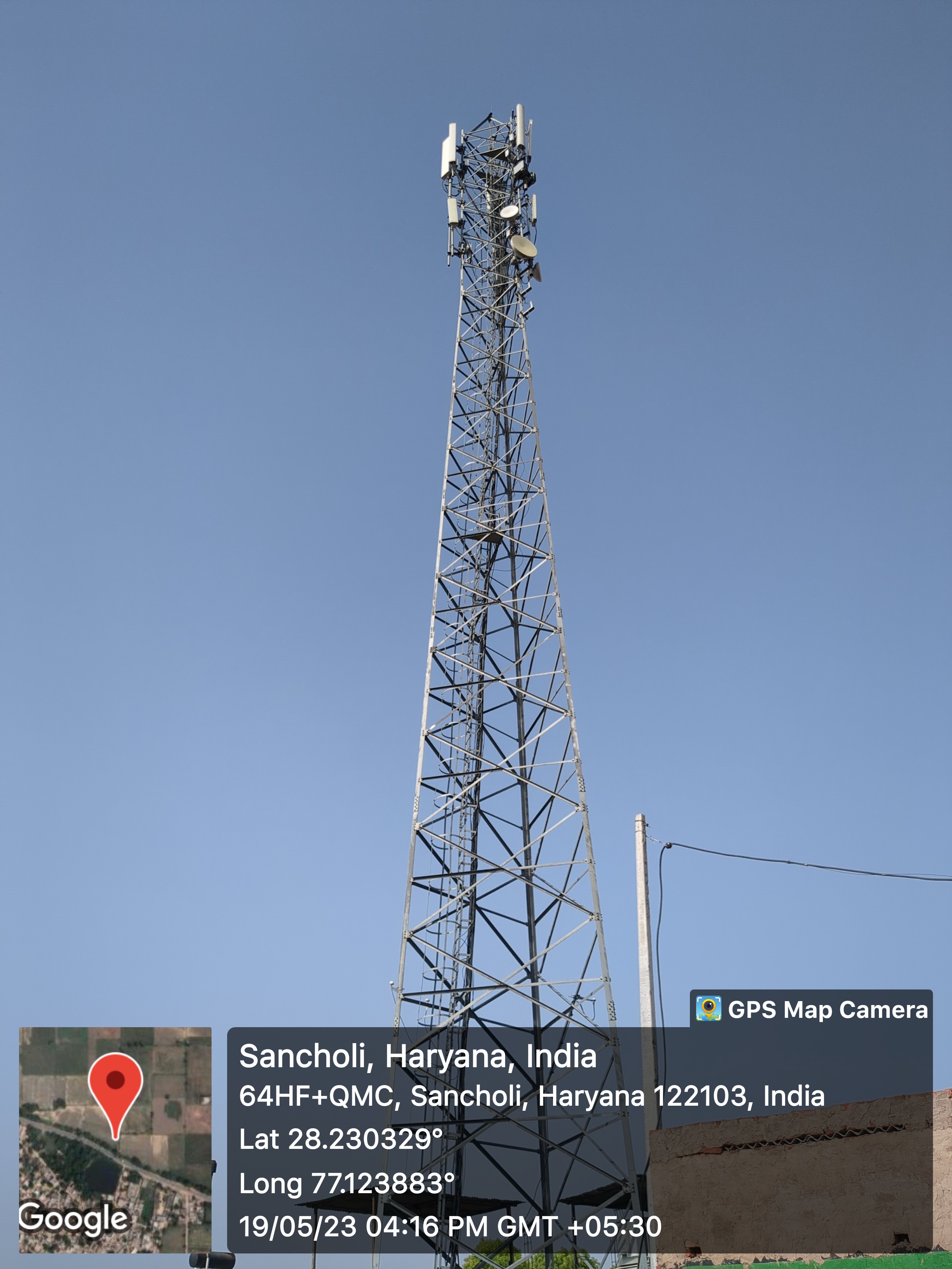
- Mobile Towers

- Vodaidea
- BharatNet
-
- Substation (Electricity)
-
- Electricity Poles
-
- Industrial Infra
-
- Post offices
-
Education
- Anganwadi


- - Anganwadi Incharge
- Mrs. Santosh
- - Anganwadi Code
- 6086060715
- - Anganwadi Staff
- - Anganwadi Strength
- - Anganwadi Helper
- Primary School

- 1
- Secondary School
-
- Colleges
-
- Tuition Teachers
-
- ITI
-
- University
-
- Coaching Centre
-
- Student Profile
-
Industry
- Type of Industries based on size
-
- Type of Industries based on domain / product
-
- Work force Type
-
Health
- Hospitals
-
- Dispensaries
-
- CHC
-
- PHC

- 1
- Sub-health centers
-
- Facilities
-
- Medical stores with Timing
-
- 1
- 10 am to 8 PM
- 1
- Chemist shops
-
- 1
- Colleges
-
- Mal-Nutritions Data
-
- Pregnant Women Data
-
- 6
- Juvenile Committees
-
Banks
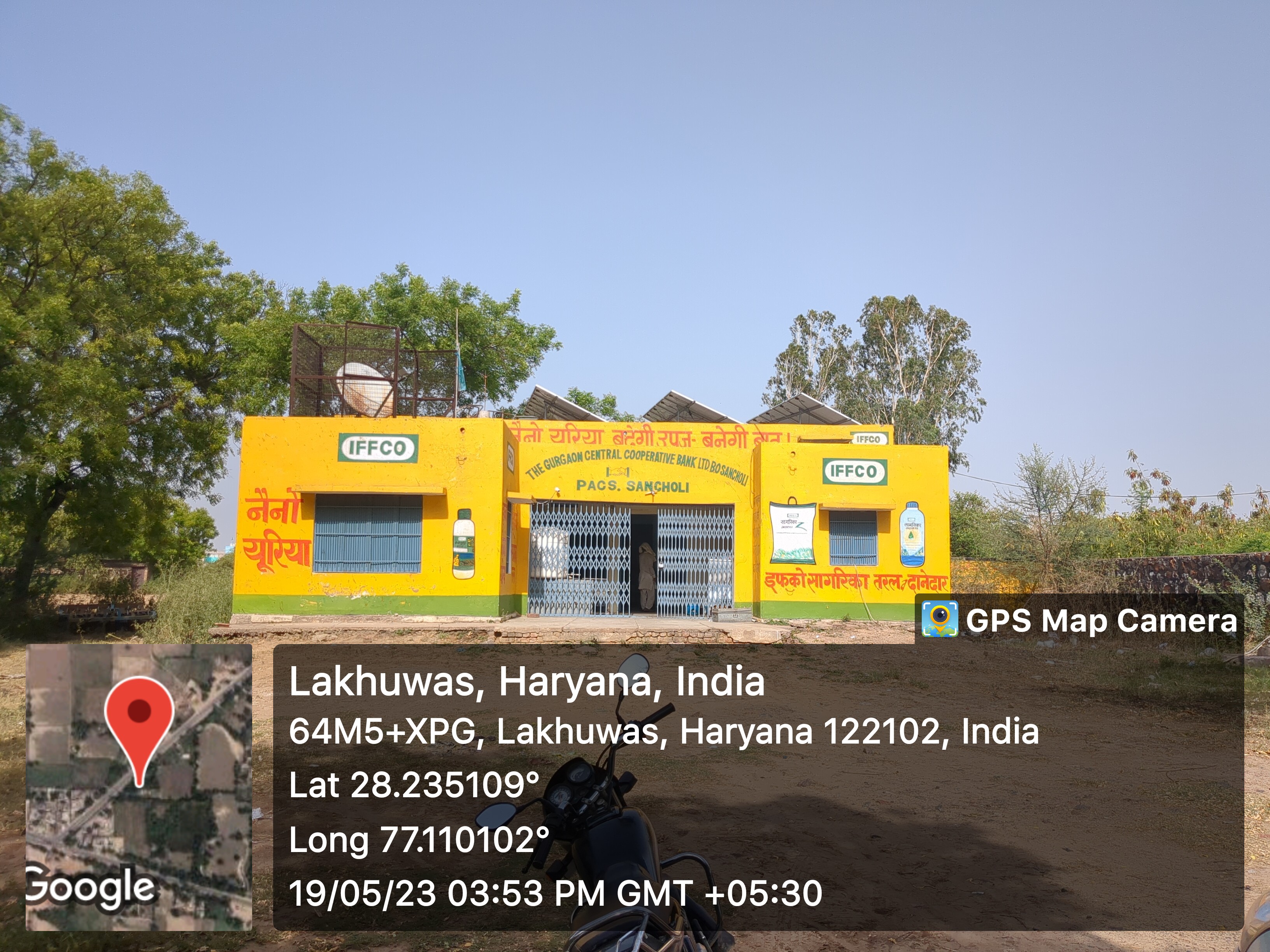
- Banks with branches

- 1
- Co-operative Bank
- Manager: mohammad Farook
- Head Cashier: Ms. Manisha
- ATMâs
-
- Financial Institutions
-
- Non Financial Institutions
-
- Business Correspondents
-
Social
- Old Age Pension
-
- Disabled Pension
-
- Scholarships
-
- Ration Card
-
- BPL Card
-
- Chirayu Card
-
- ESI Card
-
Bio Diversity
- Flora Species
-
Commercial / Business
- Shops
- - General Store
- 30
- - Hardware
- - Seeds
- - Grocery
- - Textile
- Showrooms
-
- Warehouses
-
- Cold Storage
-
- Courier/Postal
-
- pin: 122103
- Resort/Hotel
-
Supply Chain Management
- Hafed/Other
-
Aquifer Information
- General Information
- - Geographical area :
- - Basin/Sub basin :
- - Principal Aquifer system :
- - Major Aquifer System :
- - Normal Annual Rainfall :
- Aquifer Disposition
- - Aquifer Disposition :
- - Status of GW Exploration :
- - Aquifer Characteristics :
- - CGWB Monitoring Status :
- - GW Quality :
- - Aquifer Potential :
- Aquifer Management Plan
- - GW Management Issues :
- - GW Resource :
- - GW Stage of Development (%) :
- - Existing and Future Water Demand :
- - GW Management Plan :
- - AR & Conservation Possibilities:
How to reach?
Source links on below
| Place | Type | Lat-Long | Link |
|---|---|---|---|
| Ponds | Wet | 28.229713605940077, 77.12360993621832 | https://goo.gl/maps/gwtMnH94XT7phC4M9 |
| Dry | - | - | |
| Streets | Kacchi | - | - |
| Pakki | - | - | |
| Land | - | - | |
| Assets | - | - | |
| Buildings | - | - | |
| Death rituals | Shamshanghat | 28.231083518406248, 77.13102099964227 | https://goo.gl/maps/d6y99RRvi8tTn9Py5 |
| Kabristan | 28.233738832462144, 77.11785558134144 | https://goo.gl/maps/MUAdAxKUiVhGJJkj8 | |
| Religious Places | Mandir | 28.231060560771475, 77.1258137891078 | https://goo.gl/maps/jHWHUinNhDrpJpqq7 |
| Masjid | 28.23145920866873, 77.12130820981555 | https://goo.gl/maps/79xLvK4E4hFQRrSWA | |
| Church | - | - | |
| Gurudwara | - | - | |
| Khera | - | - | |
| Layout plans | - | - | |
| Stadiums | - | - | |
| Parks | - | - | |
| Gyms | - | - | |
| Library | - | - | |
| Mobile Towers | - | - | |
| BharatNet | - | - | |
| Substation (Electricity) | - | - | |
| Electricity Poles | - | - | |
| Industrial Infra | - | - | |
| Post offices | - | - |
Village Requirement Sancholi
| Sr.No | Requirement Description | Published Date | Quantity | Estimated Amount | Requirement Applicable | Status |
|---|---|---|---|---|---|---|
| 1 | ||||||
| 2 | ||||||
| 3 | ||||||
| 4 |