Sarmathala Old
Sarmathla according to Census 2011 information the location code or village code of Saramathla village is 062949. Saramathla village is located in Sohna tehsil of Gurgaon district in Haryana, India. It is situated 20km away from sub-district headquarter Sohna (tehsildar office) and 40km away from district headquarter Gurgaon. As per 2009 stats, Sarmathla is the gram panchayat of Saramathla village.
| Sarmathla - Village Overview | |
|---|---|
| Gram Panchayat : | Sarmathla |
| Block / Tehsil : | Sohna |
| District : | Gurgaon |
| State : | Haryana |
| Pincode : | 122103 |
| Area : | 754 hectares |
| Population : | 2377 |
| Updated Population : | 4500 as per the 2011 report |
| Households : | 424 |
| Assembly Constituency : | Sohna |
| Parliament Constituency : | Gurgaon |
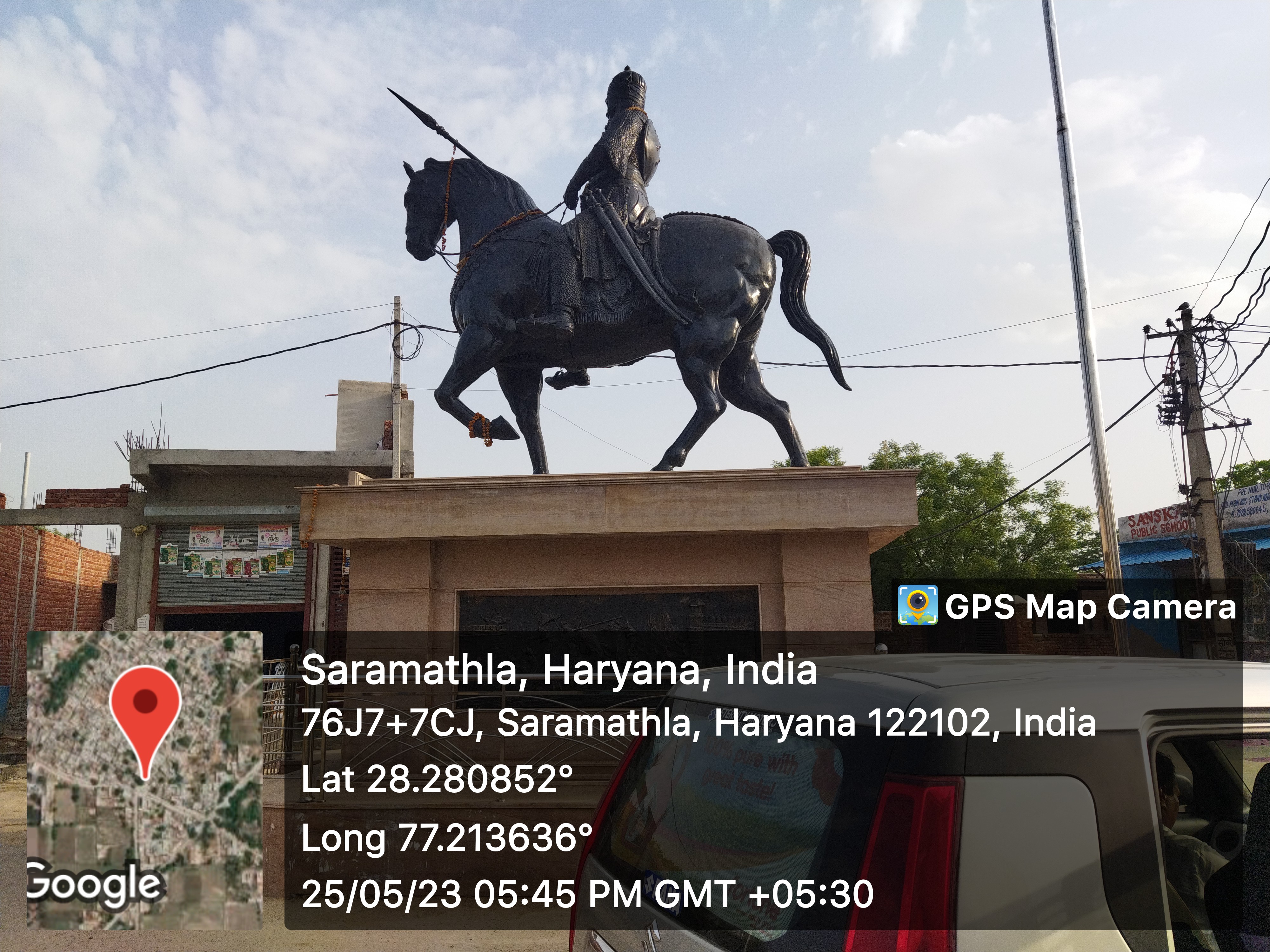
Panchayat
- Demographic
- - Total Population
- 2377
- - Male
- 1310
- - Female
- 1067
- - Sex Ratio
- 815
- - No. of Voters
- 1375 (2023)
- - Updated Population
- 4500 as per the 2011 report
- Historical
- - History of Village
- Current Panchayat
- - Sarpanch
- Mr. Pawan Sharma
- 9953828251
- - Panch
- Mrs. Shanta devi
- Mrs. Manju Devi
- Mrs. Savita Devi
- Mrs. Neetu Devi
- Mrs. Uma Devi
- Mr. Ashish Kumar
- Mr. Deendayal
- Mr. Mahavir singh
- Mr. Vikram Singh
- Old Panchayat Body
- -Previous Sarpanch
- Mrs. Sapna Devi
- Eminent Person
- - Eminent Person
- - Sports
- - Political
- - Govt. Services
- Mr. JR chauhan (Retire session judge)
- Mrs. Sashi Bala (deputation Family court)(HCS officer)
- - Armed Forces/Freedom Fighters
- Mr. Suresh Chandra, 25 Aug 1997
- - Industrialist
- - NRI
- - Religious Sect Head
- Administrative Staff
- - Gram Sachiv
- Mr. Suraj Badana
- 955000079
- - Sarpanch
- Mr. Pawan Sharma
- 9953828251
- - VLDA
- - Revenue Patwari
- Mr. Dalveer Adana
- 8700080381
- - ADO
- - Forest Ranger
- - Asha Worker
- Mrs. Savita Devi, 9817694862
- - Principal
- - Anganwadi Incharge
- 3 anganwadi 3 incharges
- - Lineman
- Mr. Krishan Kumar
- 9992380809
- - Tubewell Operator
- - Chowkidar
- Mr. Manoj
- 9812575374
- - JE Panchayati Raj
- Mr. Ram Narayan
- 9050231516
- - JE Public Health Department
- Mr. Dolat Ram
- 9813078202
- - JE Irrigation
- Geography Of Sarmathala
- - East
- - West
- - North
- - South
- - Water Level
- 300ft
- Self Help Group
- - Famous Product manufactured
- Youth Club
-
- Livestock
- - Majority Type of Animals
- cow, buffalo
- - Variety of animal
- 3
- Tourist Spot
-
- Agriculture
-
- Products, Soil Maps, crops, Farmer Data, Soil Health data, irrigation source, Crop Pattern, Land holding
- wheat, bajara
Infrastructure
- Ponds
- - Wet
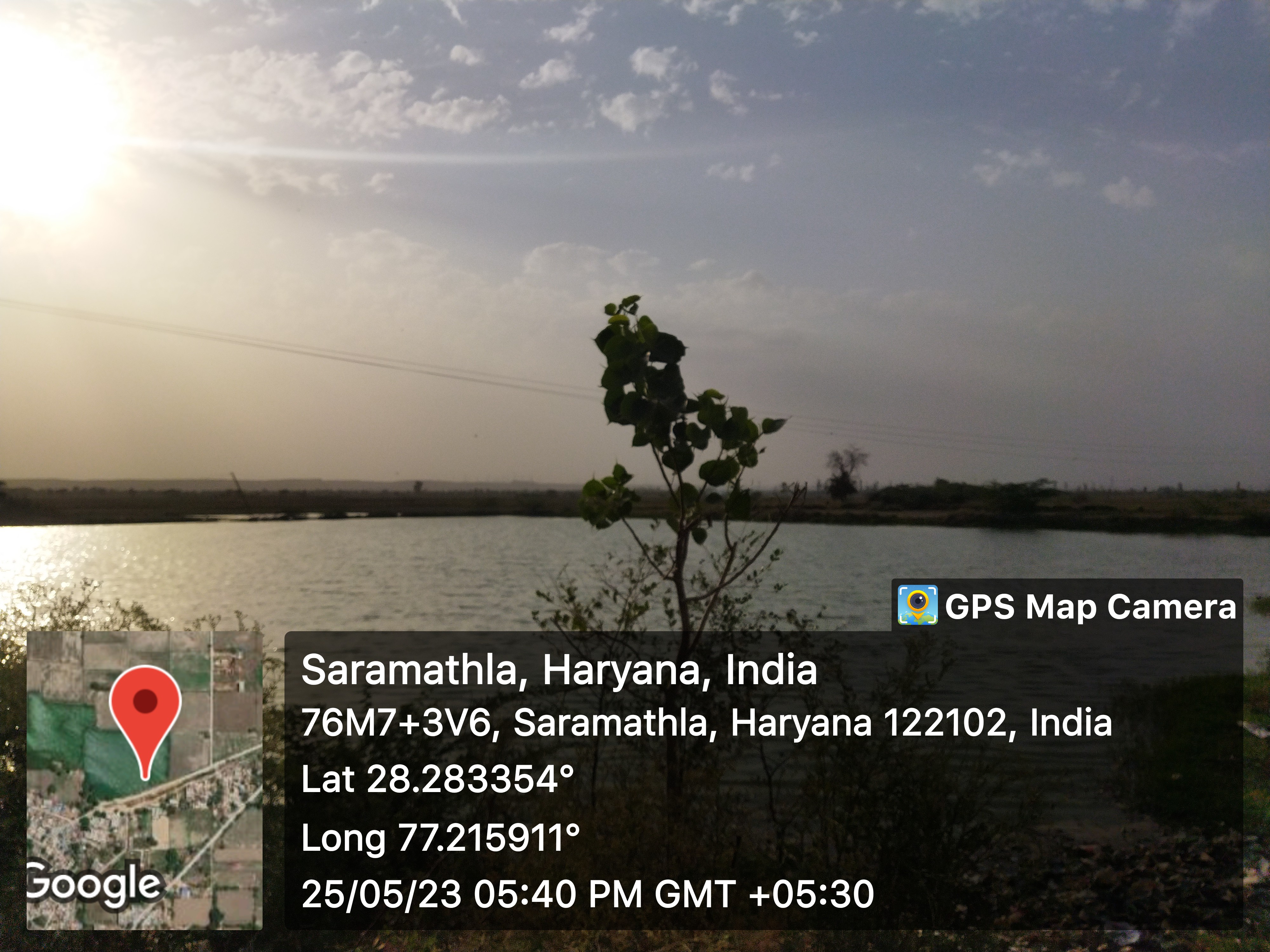
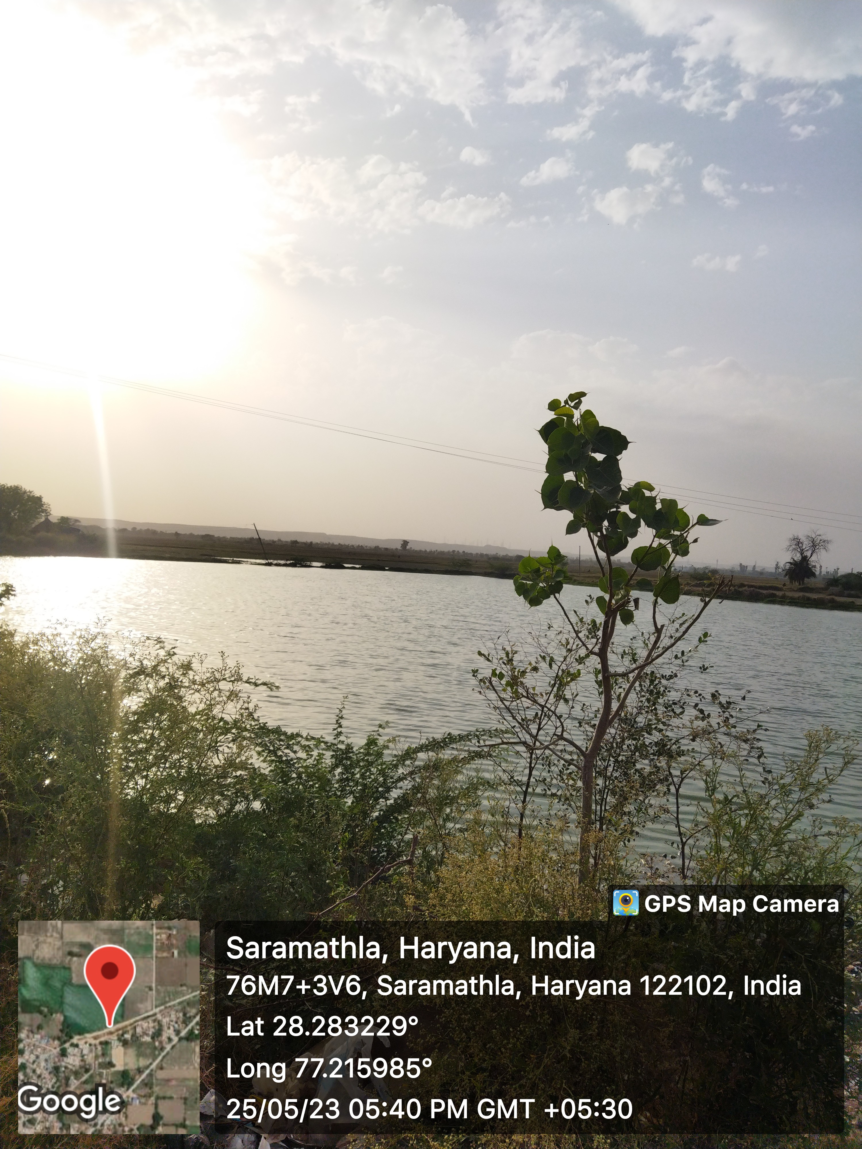
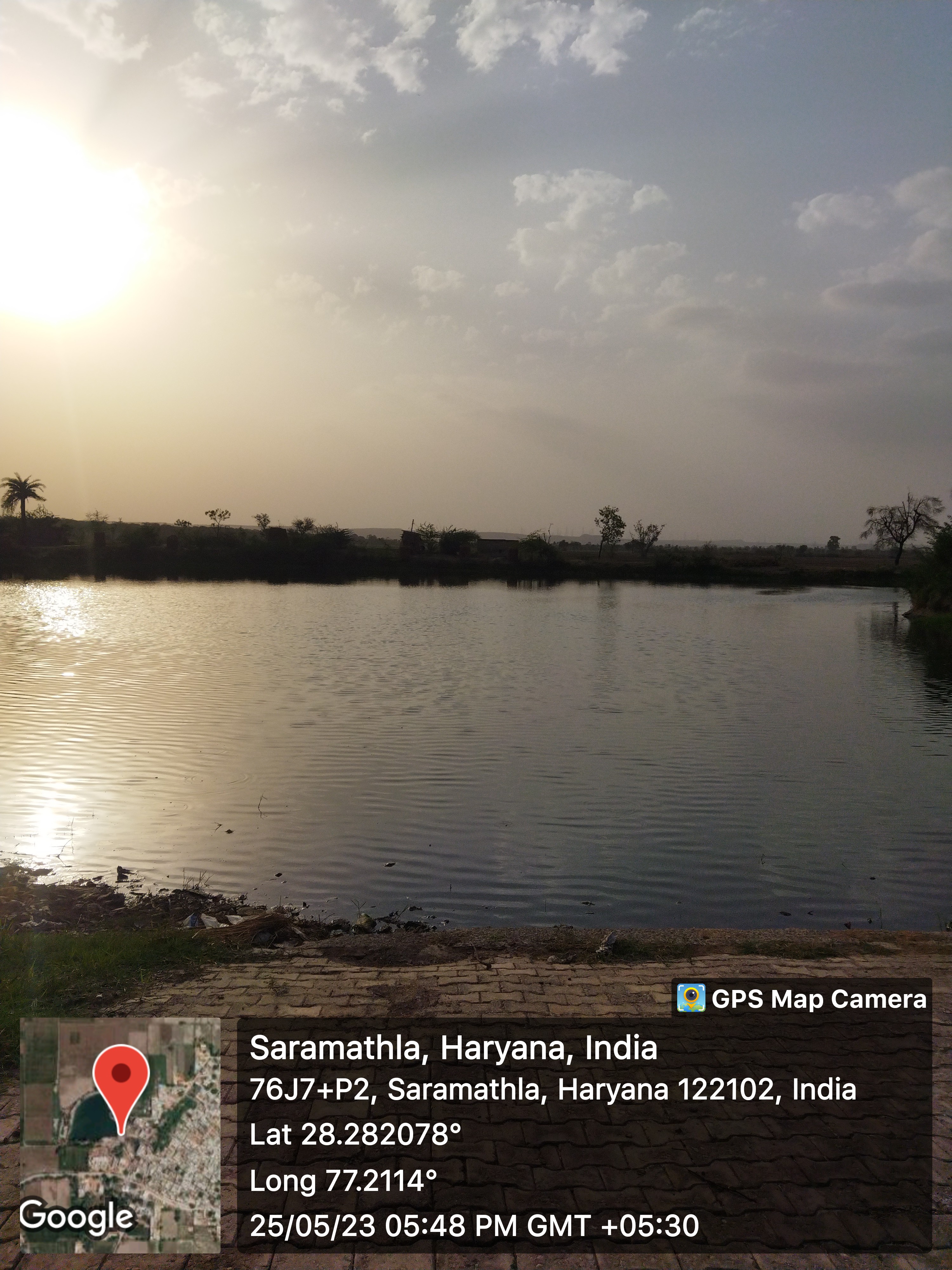
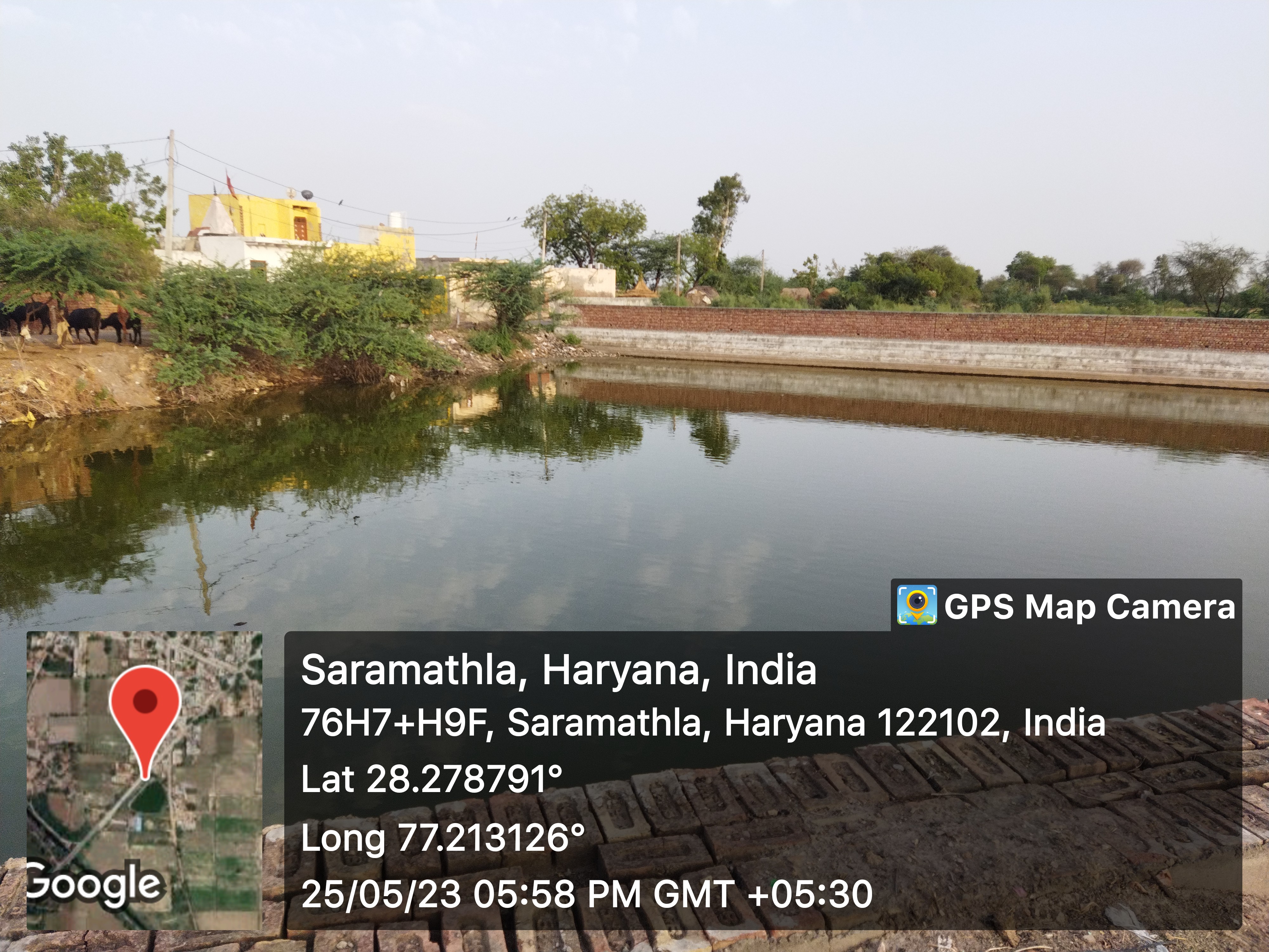
- 5
- - Pond 1
- - Area as per Revenue Record
- Source Link: http://hpwwma.org.in
- - Area as per Revenue Record
- - Actual Area at Site (in acre)
- 2.00
- - Actual Area at Site (in acre)
- - Latitude (in Deg-Min-Sec)
- 28°16'42N
- - Latitude (in Deg-Min-Sec)
- - Longitude (in Deg-Min-Sec)
- 77°12'48E
- - Longitude (in Deg-Min-Sec)
- - Whether the Pond is WETLAND as Identified by HARSAC
- No
- - Whether the Pond is WETLAND as Identified by HARSAC
- - Source of filling the Pond
- Canal
- - Source of filling the Pond
- - Details of Encroachments on the Pond
- No
- - Details of Encroachments on the Pond
- - Whether the Pond is in Abadi Area
- Yes
- - Whether the Pond is in Abadi Area
- - Remarks
- Scheme:Phase-IV (2024-25) Dep.:( PR-PW) Year:2024-25
- - Remarks
- - Pond 2
- - Area as per Revenue Record
- Source Link: http://hpwwma.org.in
- - Area as per Revenue Record
- - Pond 2
- - Actual Area at Site (in acre)
- 1.25
- - Actual Area at Site (in acre)
- - Latitude (in Deg-Min-Sec)
- 28°17'01N
- - Latitude (in Deg-Min-Sec)
- - Longitude (in Deg-Min-Sec)
- 77°12'56E
- - Longitude (in Deg-Min-Sec)
- - Whether the Pond is WETLAND as Identified by HARSAC
- No
- - Whether the Pond is WETLAND as Identified by HARSAC
- - Source of filling the Pond
- Rain Fed
- - Source of filling the Pond
- - Details of Encroachments on the Pond
- No
- - Details of Encroachments on the Pond
- - Whether the Pond is in Abadi Area
- Yes
- - Whether the Pond is in Abadi Area
- - Remarks
- Scheme:Phase-IV (2024-25) Dep.:( PR-PW) Year:2024-25
- - Remarks
- - Pond 3
- - Area as per Revenue Record
- Source Link: http://hpwwma.org.in
- - Area as per Revenue Record
- - Pond 3
- - Actual Area at Site (in acre)
- 0.88
- - Actual Area at Site (in acre)
- - Latitude (in Deg-Min-Sec)
- 28°16'56N
- - Latitude (in Deg-Min-Sec)
- - Longitude (in Deg-Min-Sec)
- 77°12'41E
- - Longitude (in Deg-Min-Sec)
- - Whether the Pond is WETLAND as Identified by HARSAC
- No
- - Whether the Pond is WETLAND as Identified by HARSAC
- - Source of filling the Pond
- Rain Fed
- - Source of filling the Pond
- - Details of Encroachments on the Pond
- No
- - Details of Encroachments on the Pond
- - Whether the Pond is in Abadi Area
- No
- - Whether the Pond is in Abadi Area
- - Remarks
- Listed in GMDA list
- - Remarks
- - Pond 4
- - Area as per Revenue Record
- Source Link: http://hpwwma.org.in
- - Area as per Revenue Record
- - Pond 4
- - Actual Area at Site (in acre)
- 1.50
- - Actual Area at Site (in acre)
- - Latitude (in Deg-Min-Sec)
- 28°16'10N
- - Latitude (in Deg-Min-Sec)
- - Longitude (in Deg-Min-Sec)
- 77°12'27E
- - Longitude (in Deg-Min-Sec)
- - Whether the Pond is WETLAND as Identified by HARSAC
- No
- - Whether the Pond is WETLAND as Identified by HARSAC
- - Source of filling the Pond
- Rain Fed
- - Source of filling the Pond
- - Details of Encroachments on the Pond
- No
- - Details of Encroachments on the Pond
- - Whether the Pond is in Abadi Area
- No
- - Whether the Pond is in Abadi Area
- - Remarks
- Water pit by brick clamp
- - Remarks
- - Pond 5
- - Area as per Revenue Record
- Source Link: http://hpwwma.org.in
- - Area as per Revenue Record
- - Pond 5
- - Actual Area at Site (in acre)
- - Actual Area at Site (in acre)
- - Latitude (in Deg-Min-Sec)
- - Latitude (in Deg-Min-Sec)
- - Longitude (in Deg-Min-Sec)
- - Longitude (in Deg-Min-Sec)
- - Whether the Pond is WETLAND as Identified by HARSAC
- - Whether the Pond is WETLAND as Identified by HARSAC
- - Source of filling the Pond
- - Source of filling the Pond
- - Details of Encroachments on the Pond
- - Details of Encroachments on the Pond
- - Whether the Pond is in Abadi Area
- - Whether the Pond is in Abadi Area
- - Remarks
- - Remarks
- - Dry
- NA
- Streets
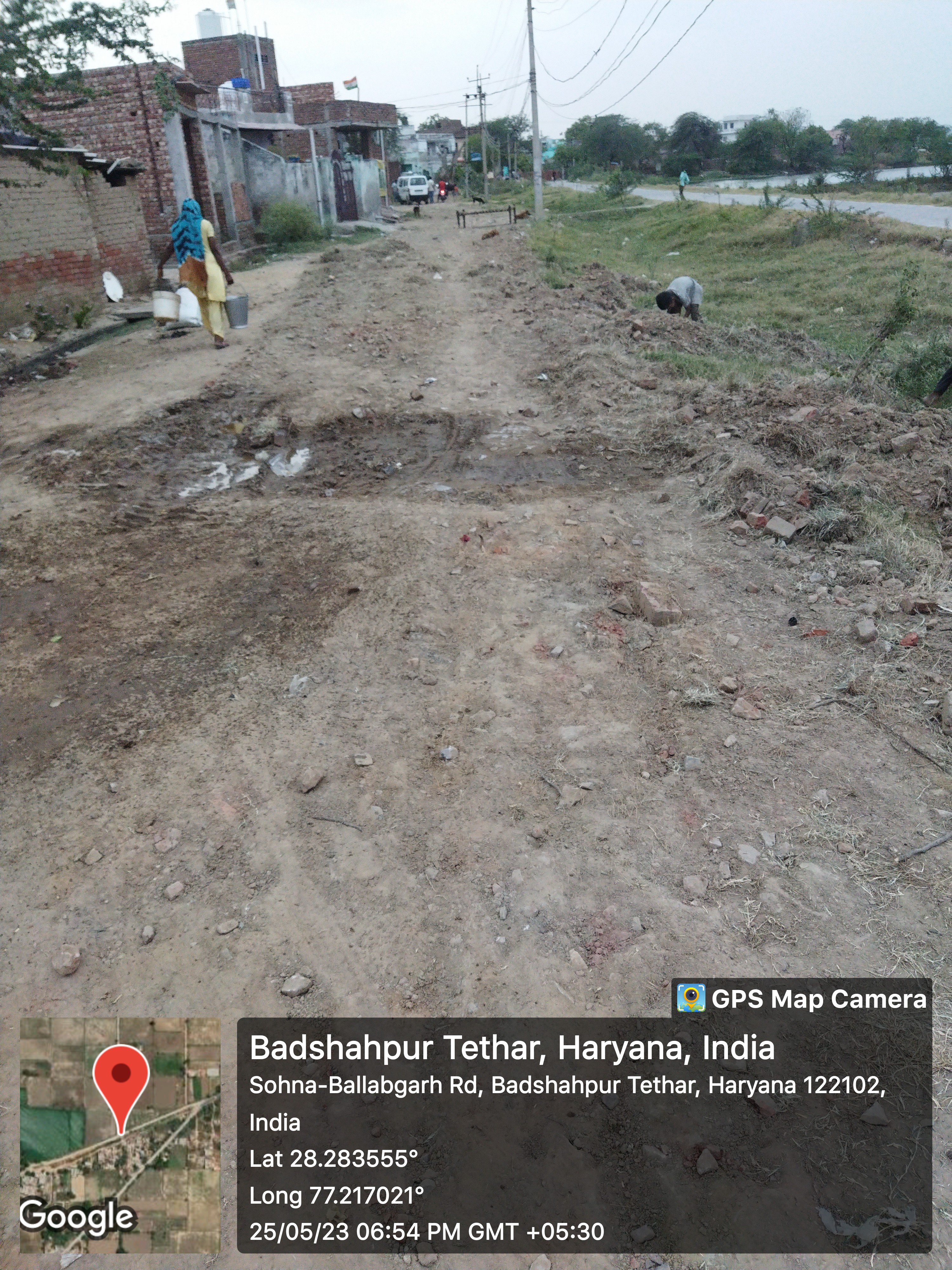
- - Kacchi
- 1
- - Pakki
- 1
- Land
-
- Assets
-
- Buildings
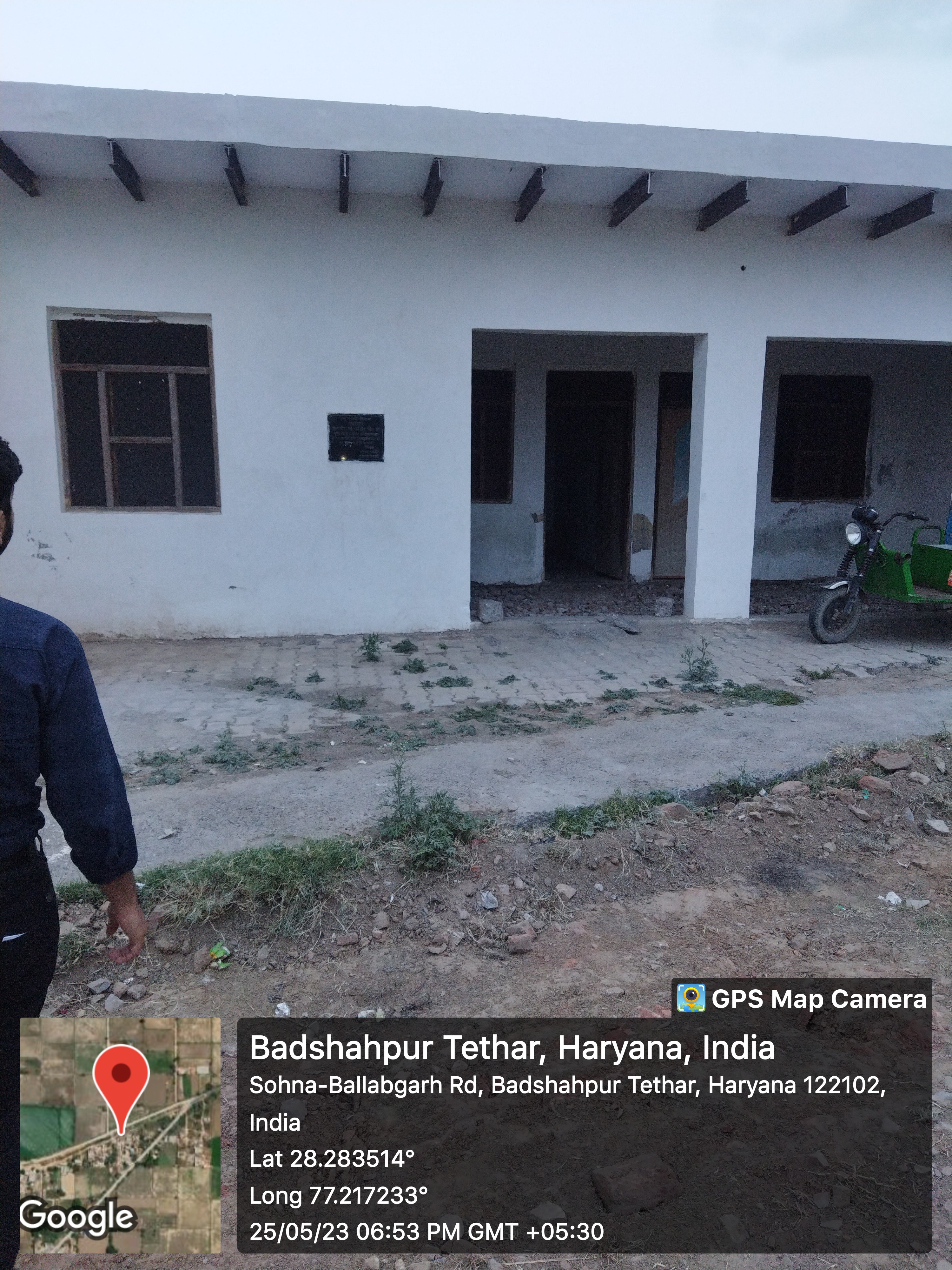
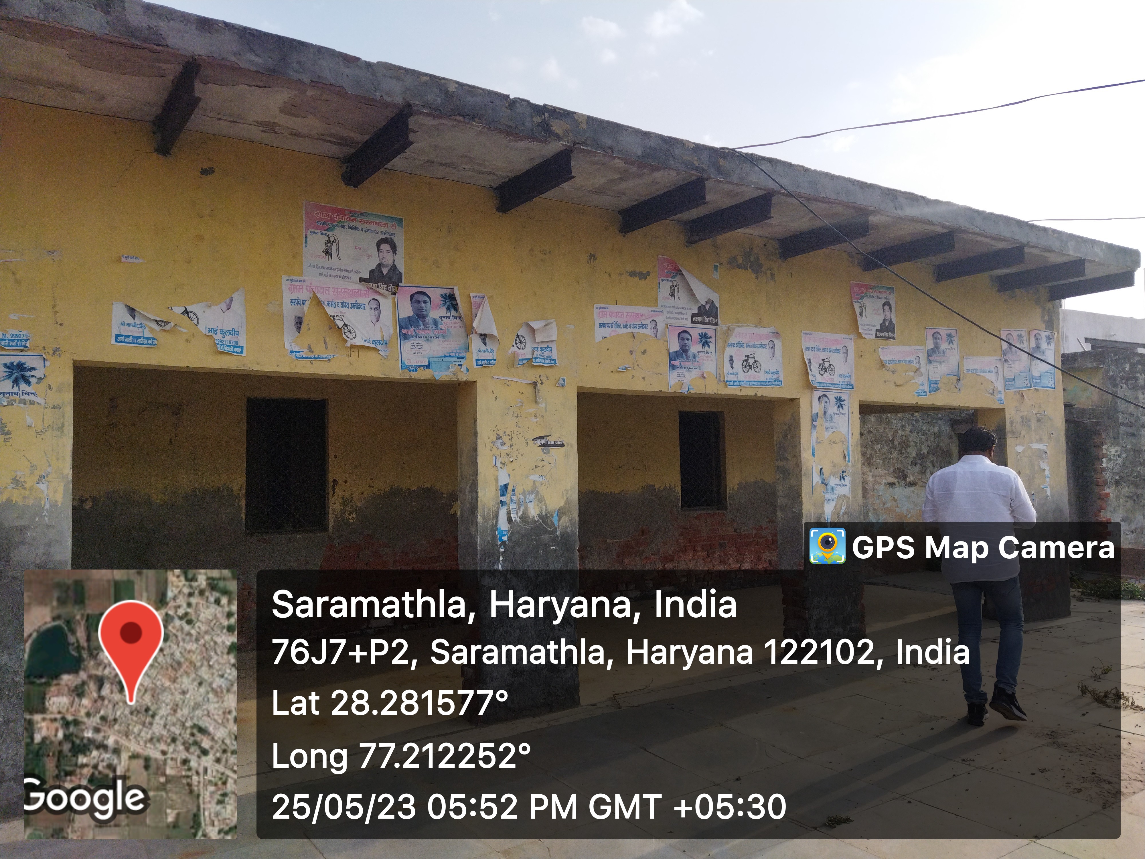
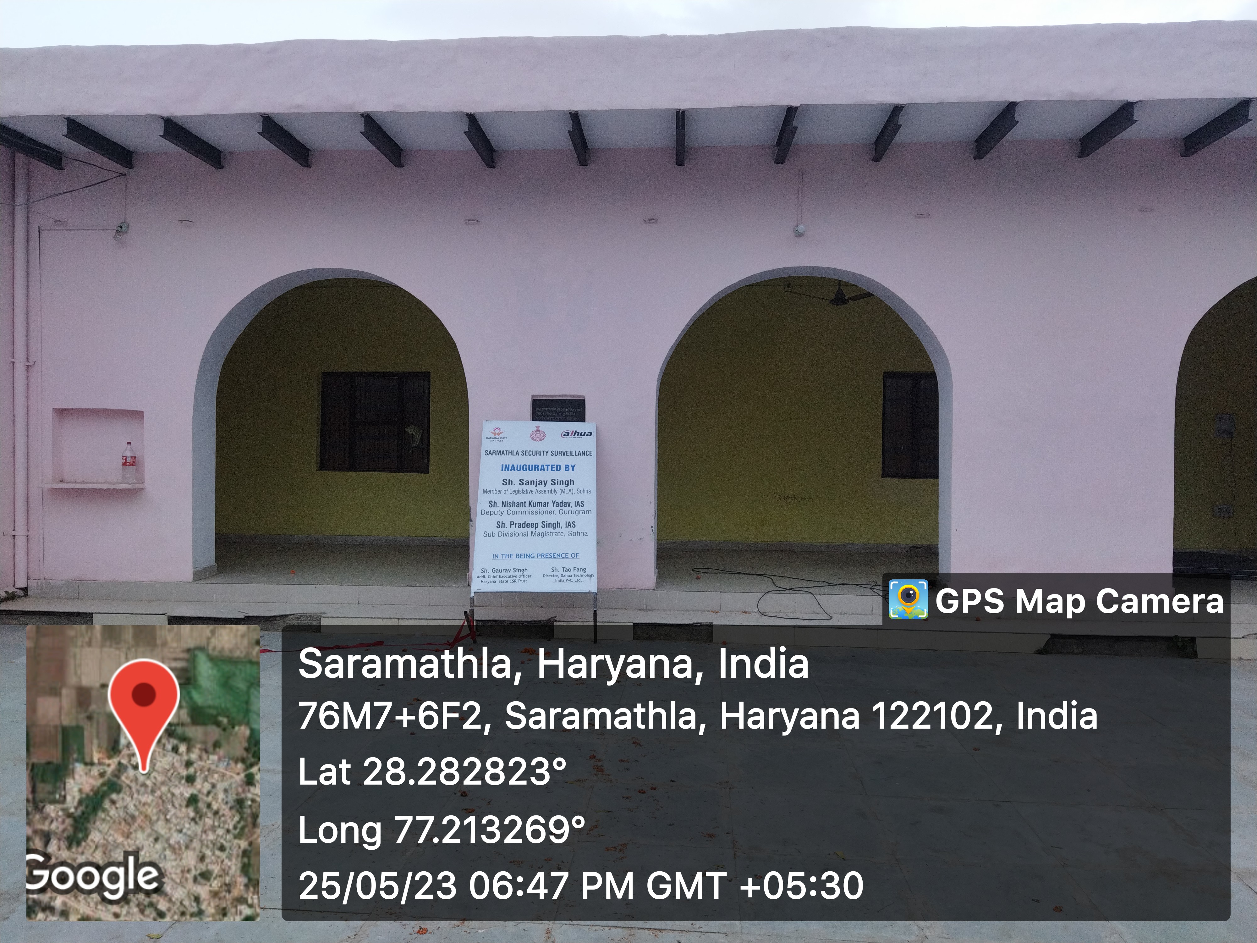
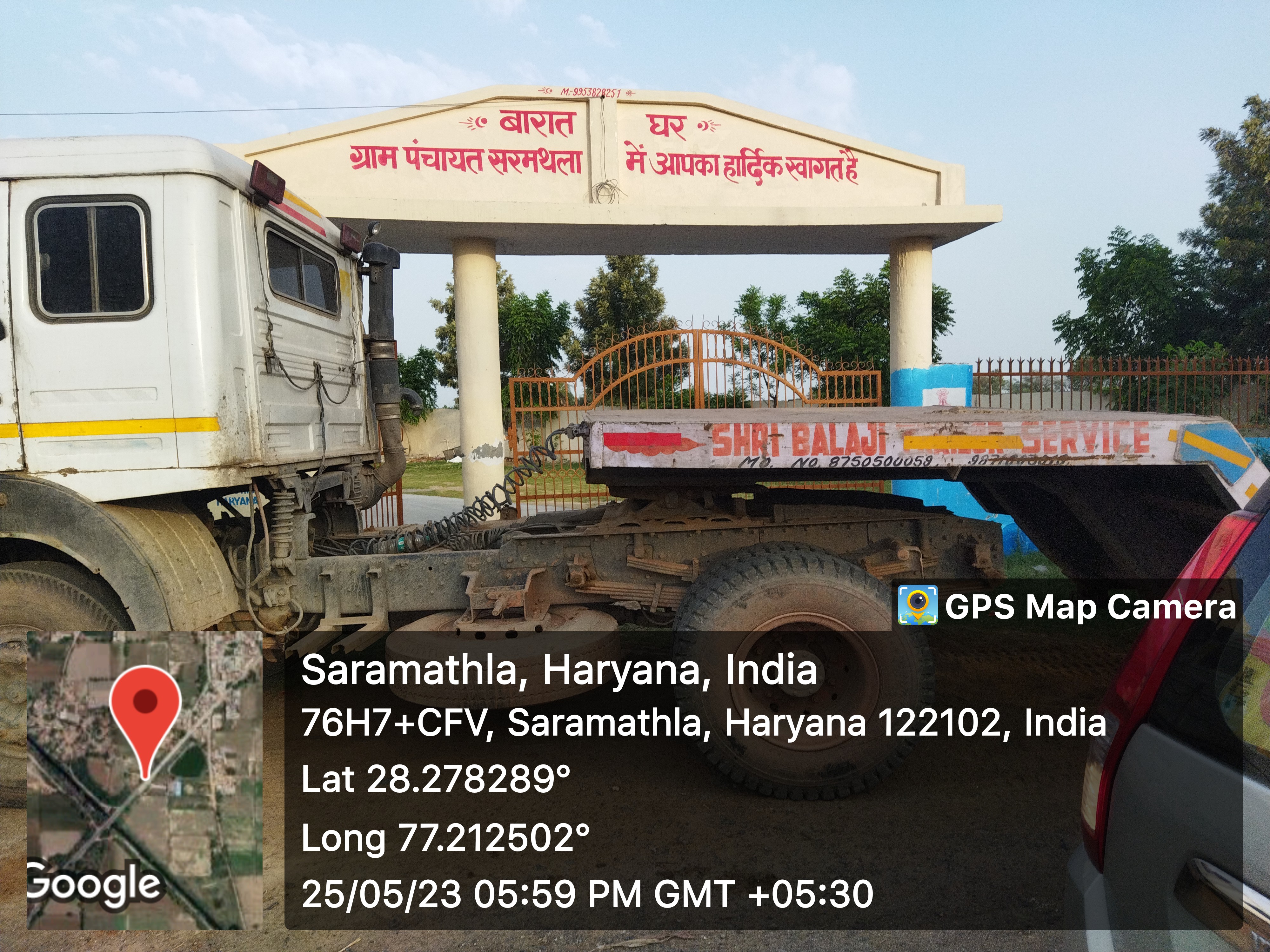
- SC chaupal
- VC Chaupal
- General Chaupal
- Barat Ghar
- Death rituals
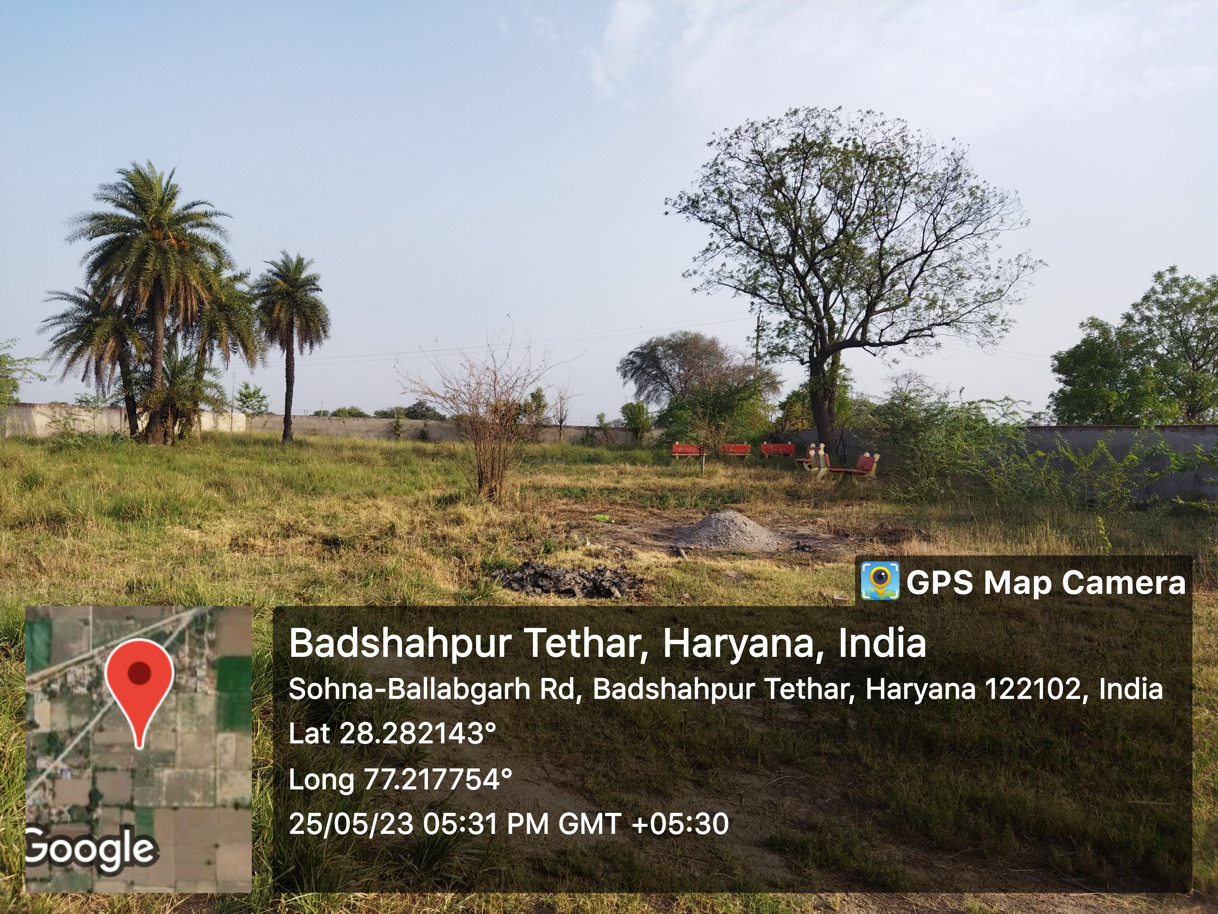
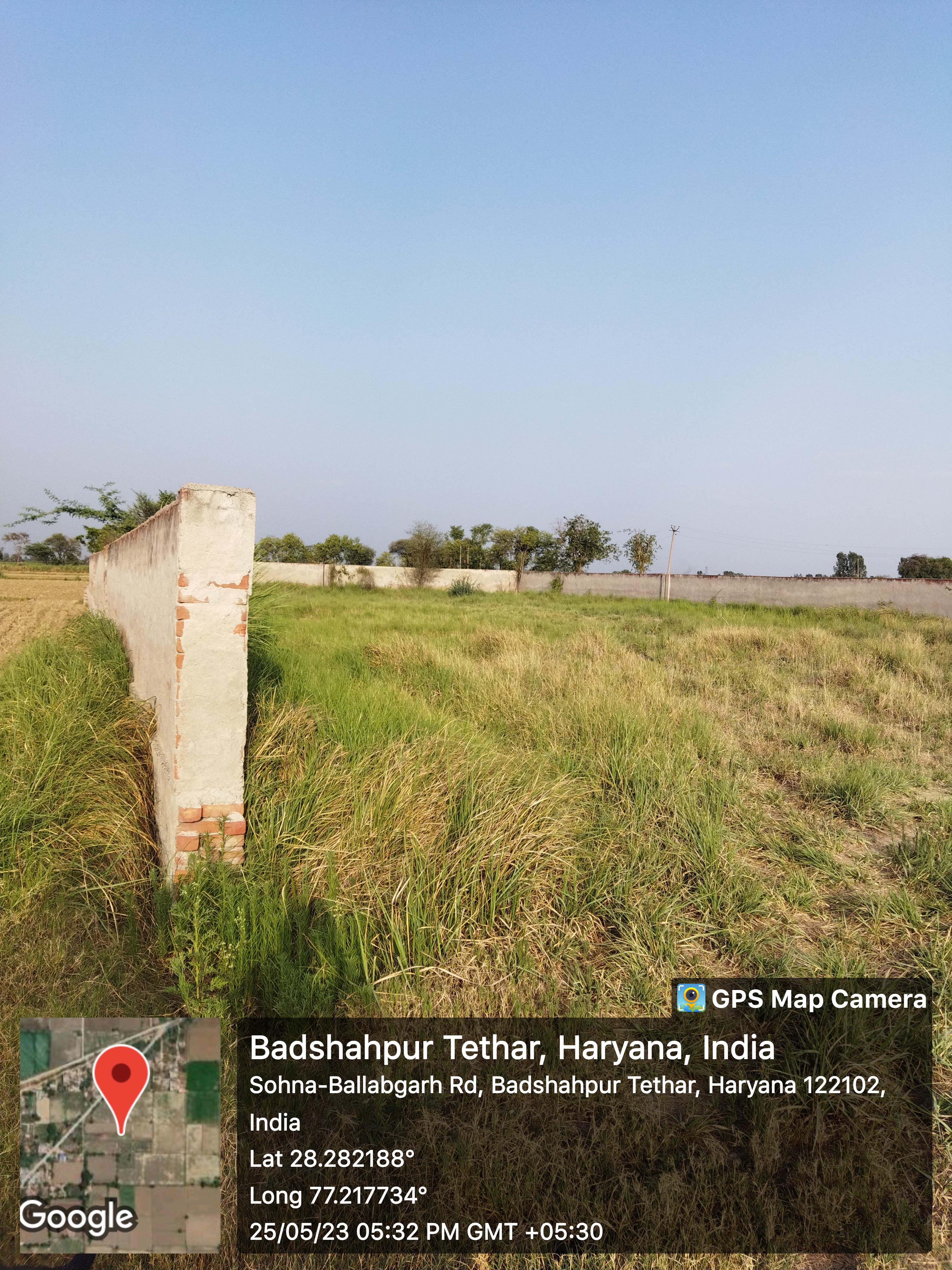
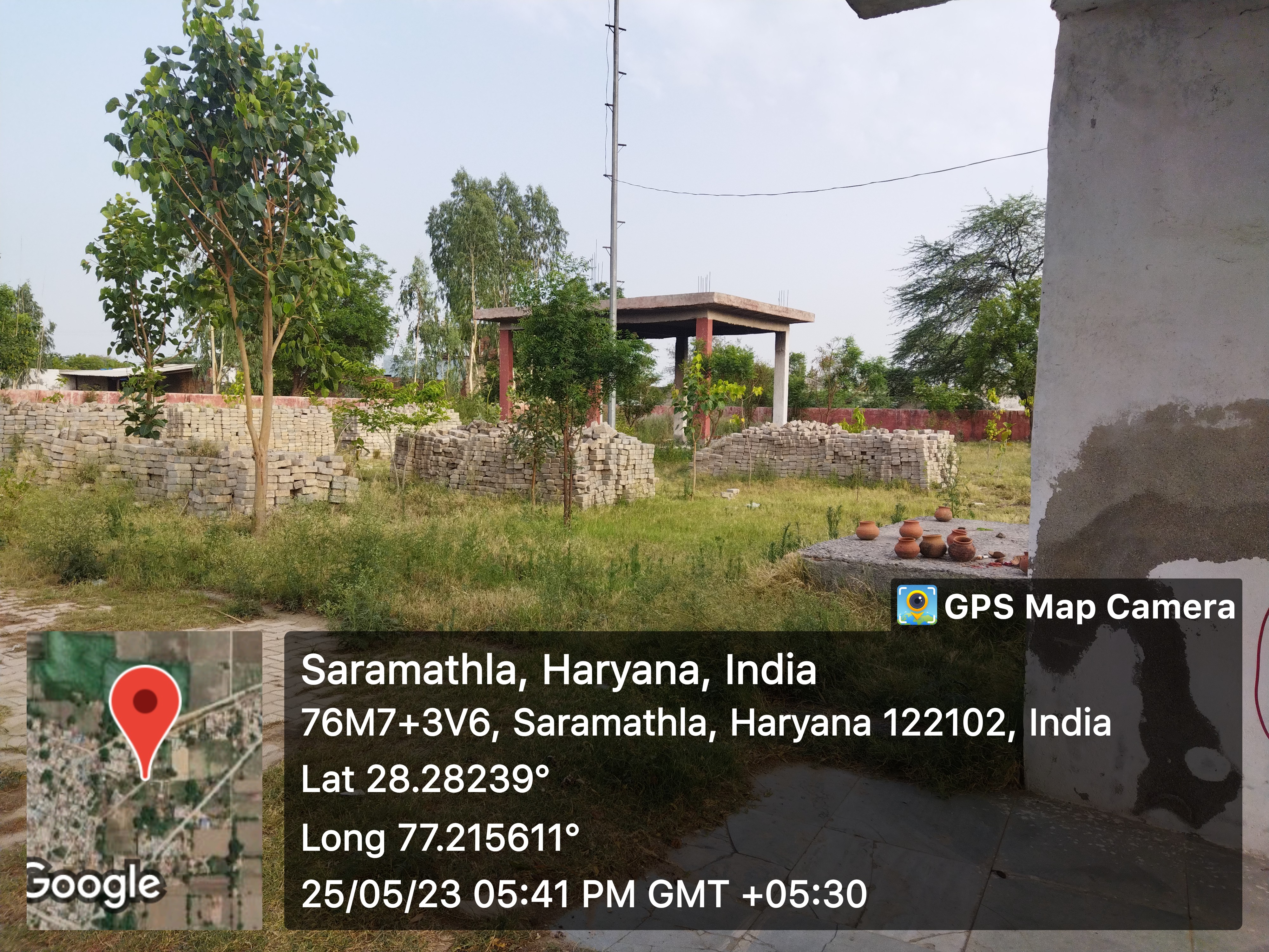
- - Shamshanghat
- 2
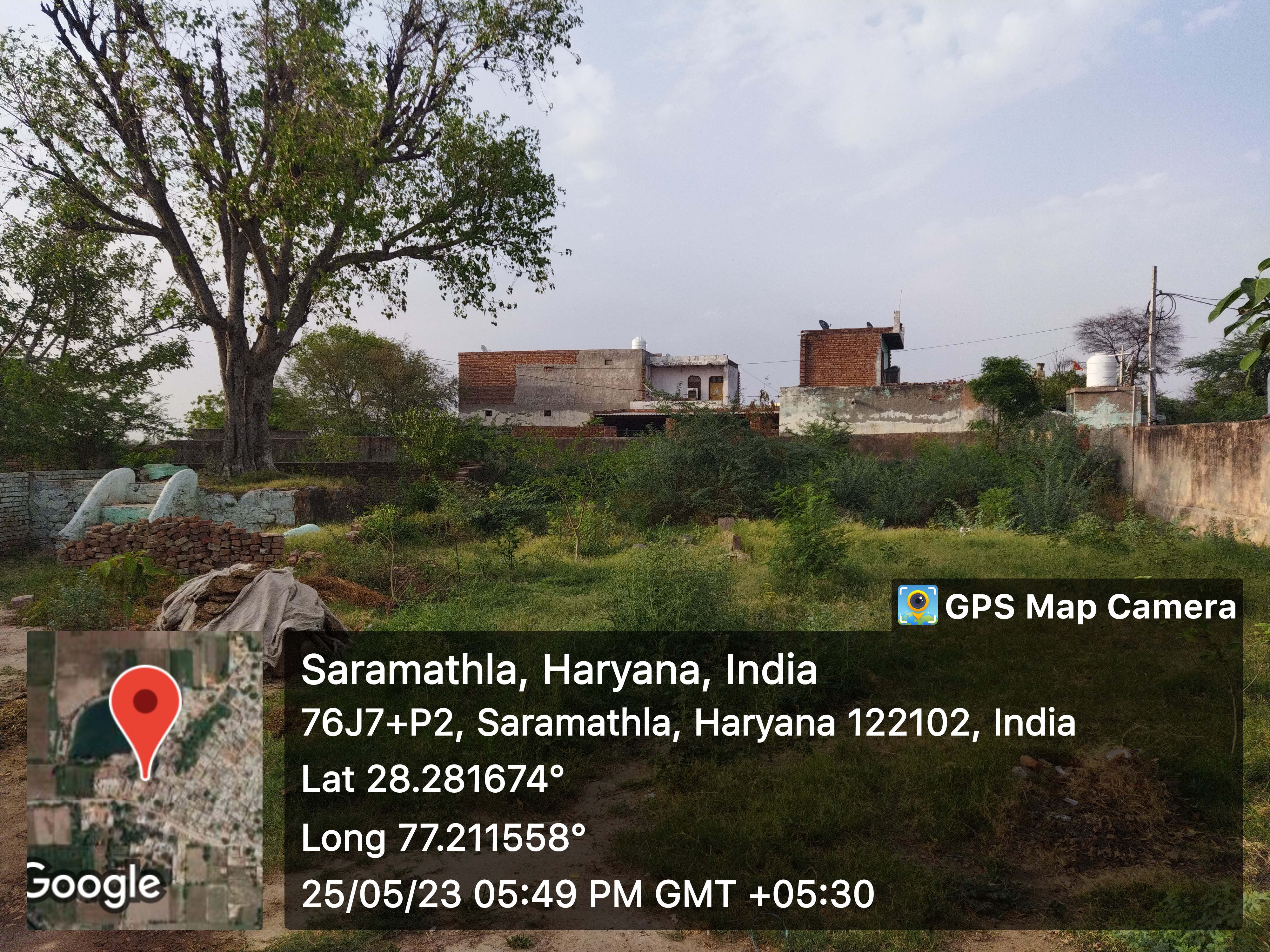
- - Kabristan
- 1
- Religious Places
- - Mandir
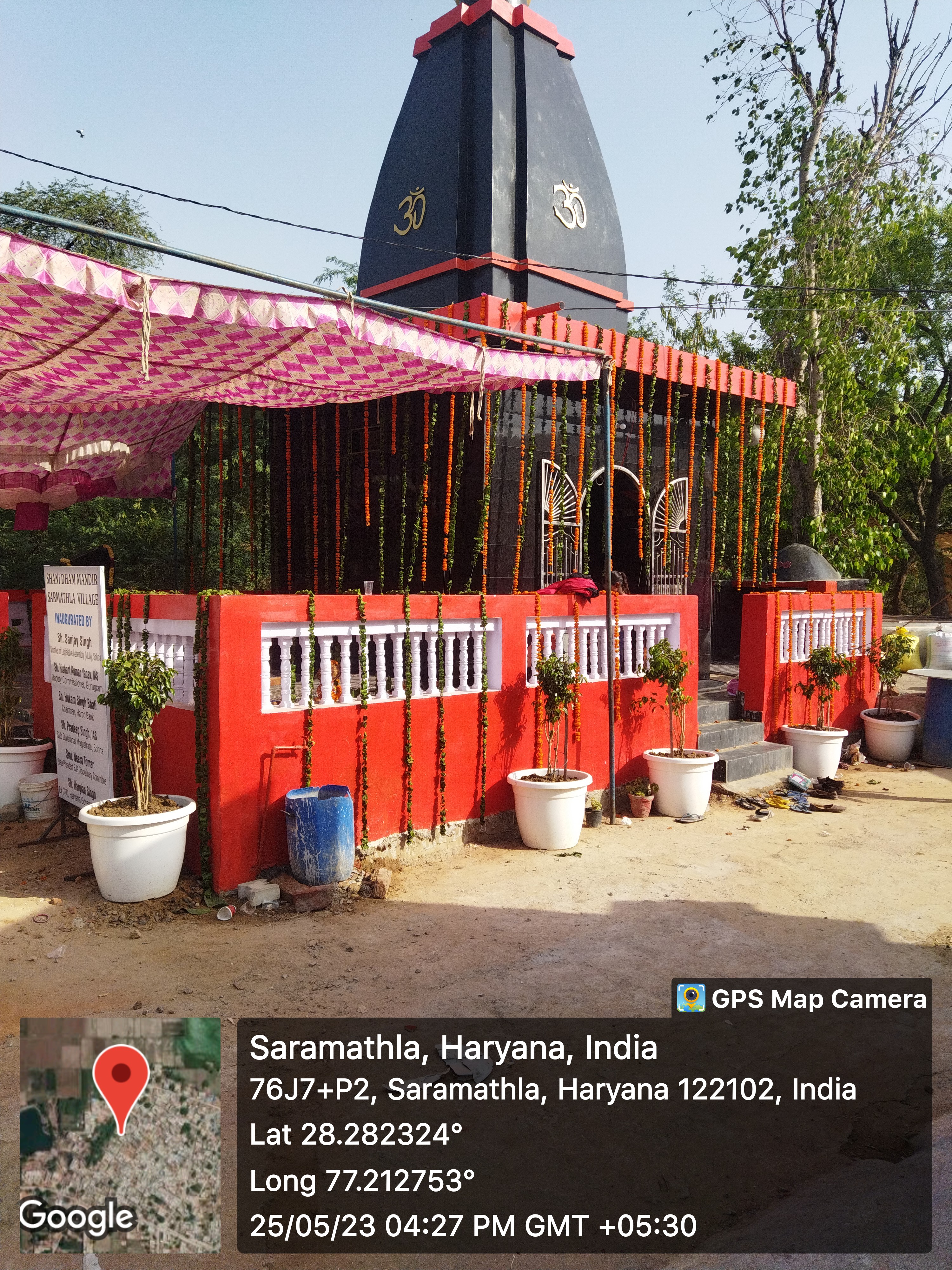
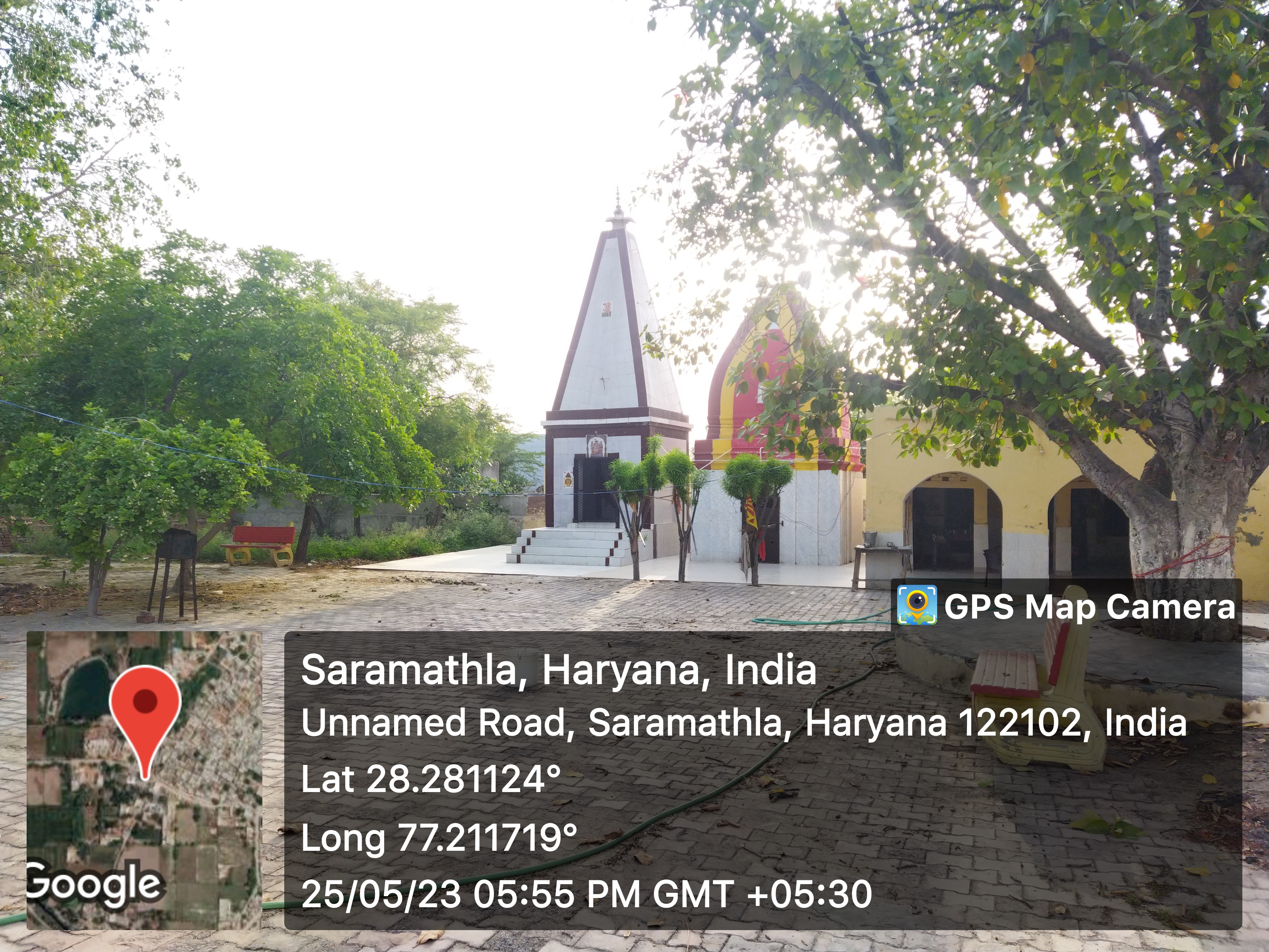
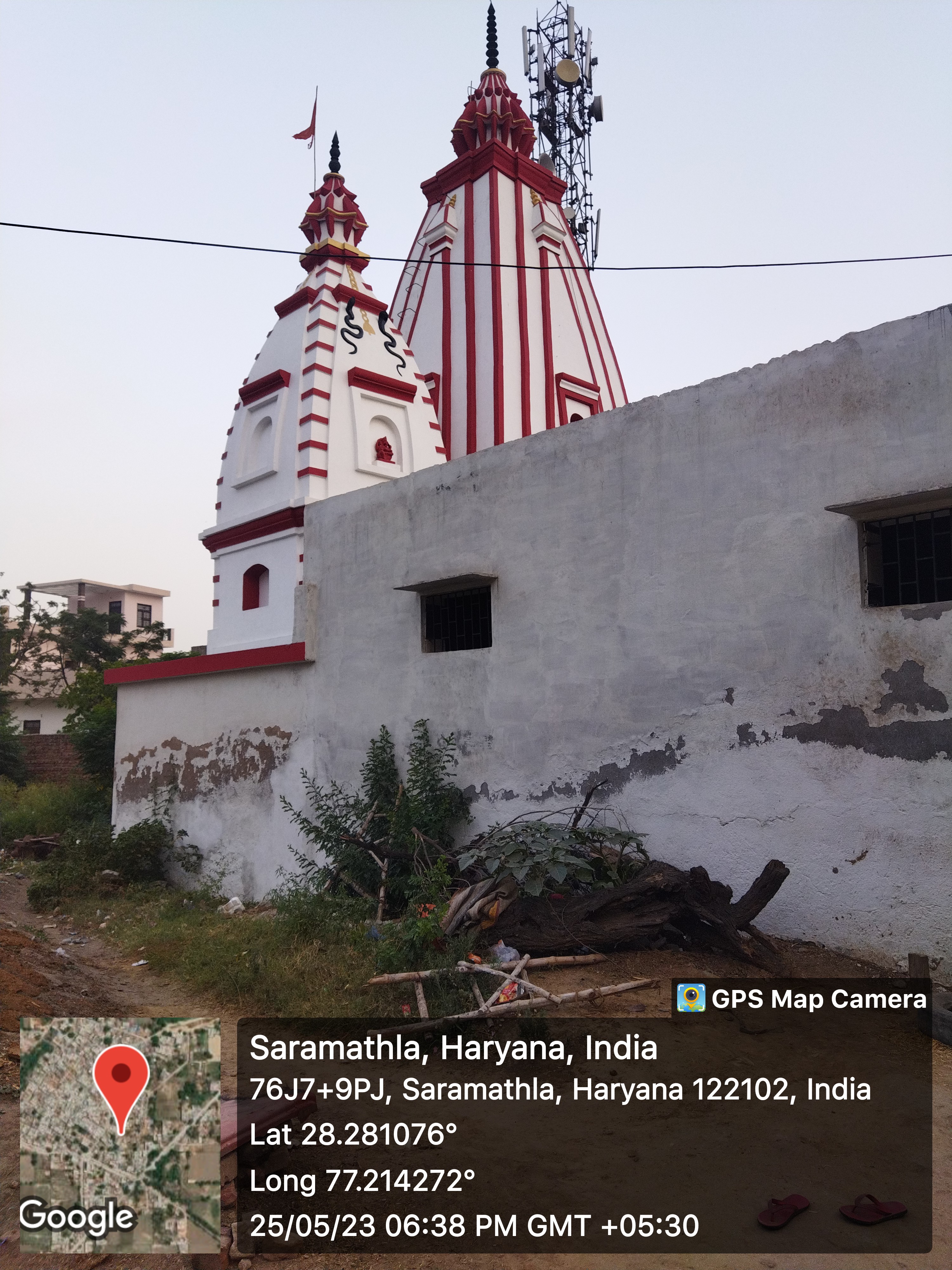
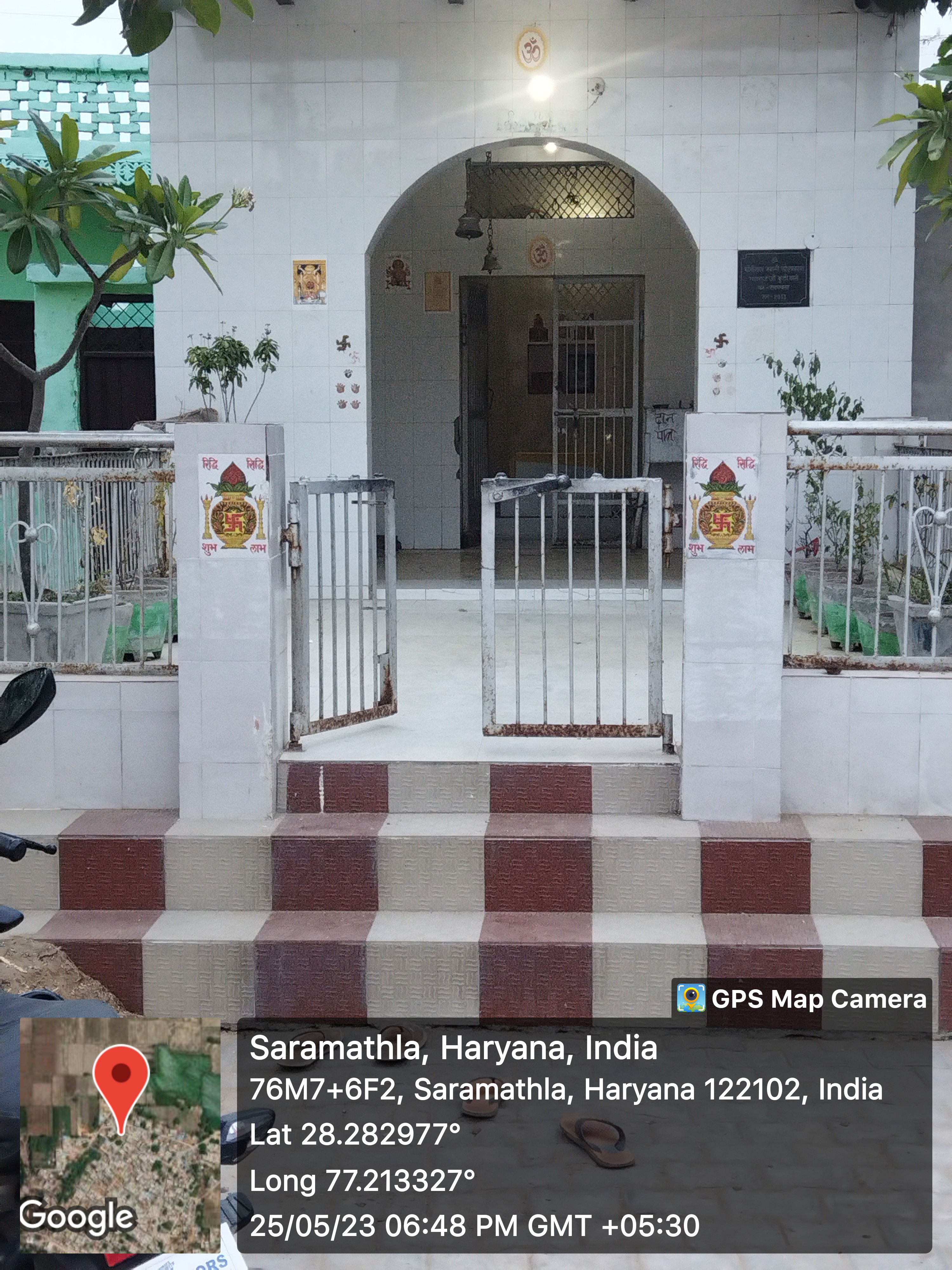
- 5
- - Masjid
- - Church
- - Gurudwara
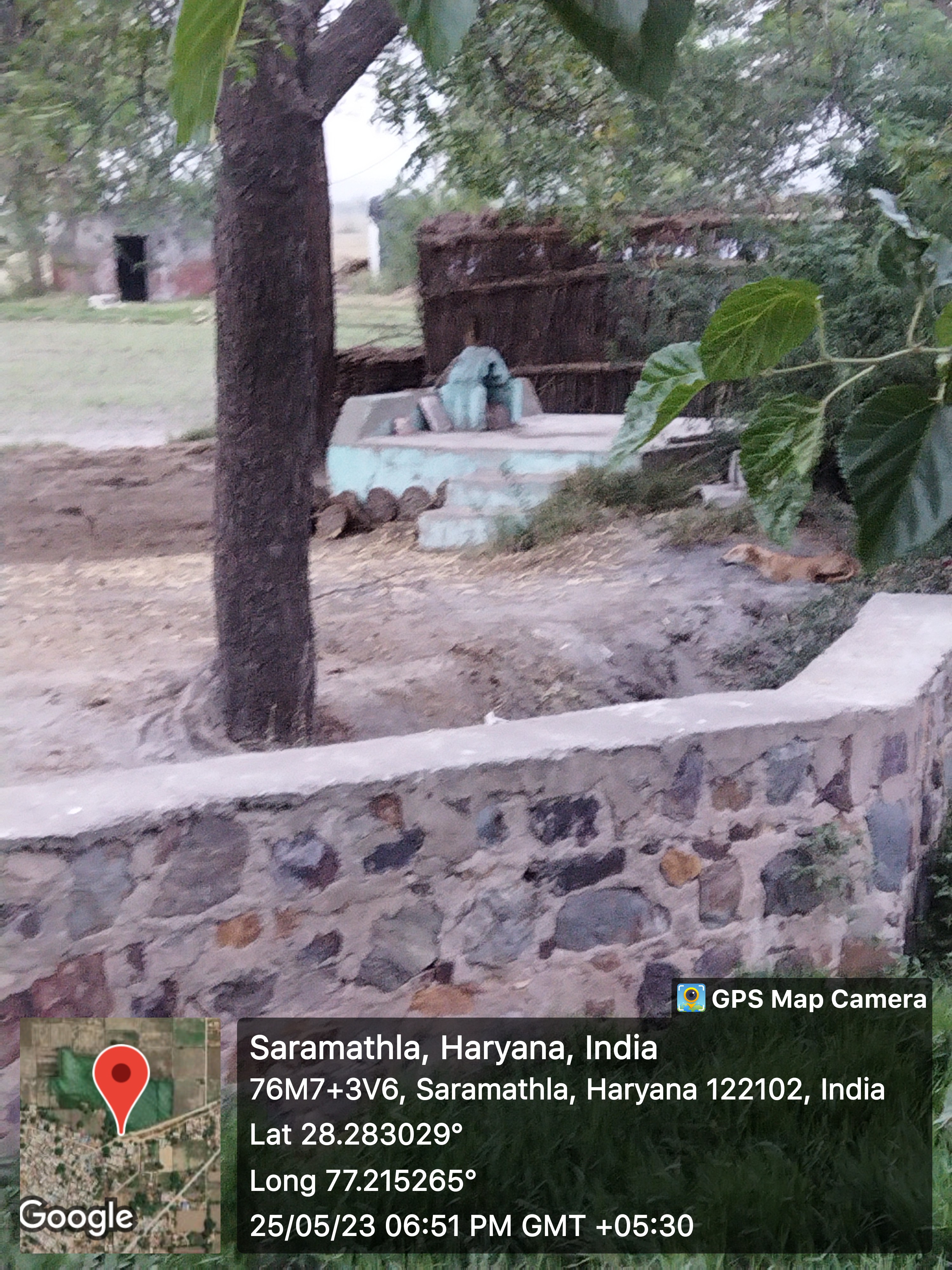
- - Khera
- 1
- Layout plans
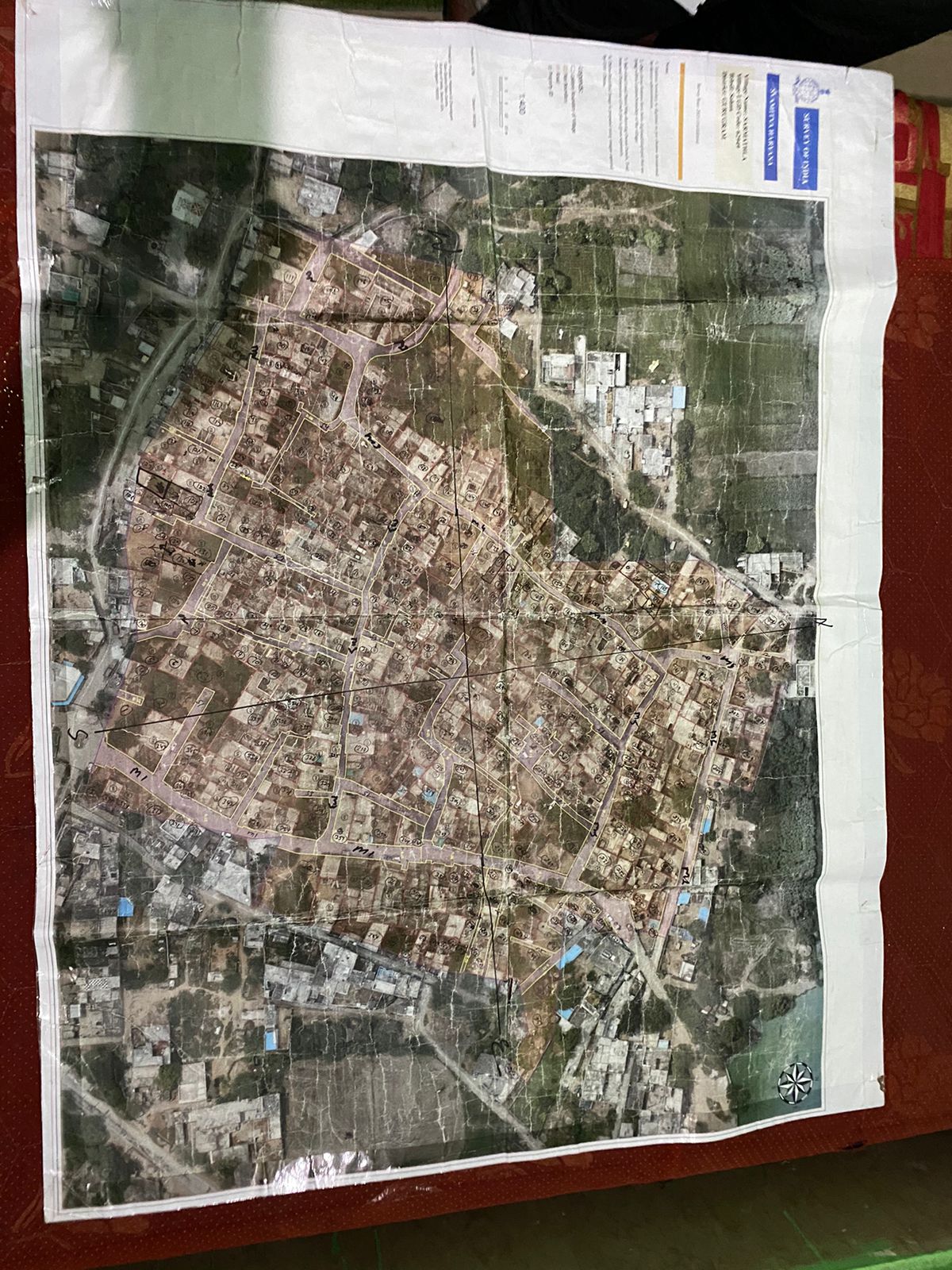
- yes
- Stadiums
-
- 1
- Parks
-
- Gyms
-
- Library
-
- Mobile Towers
-
- BharatNet
-
- Substation (Electricity)
-
- Electricity Poles
-
- Industrial Infra
-
- Post offices
-
Education
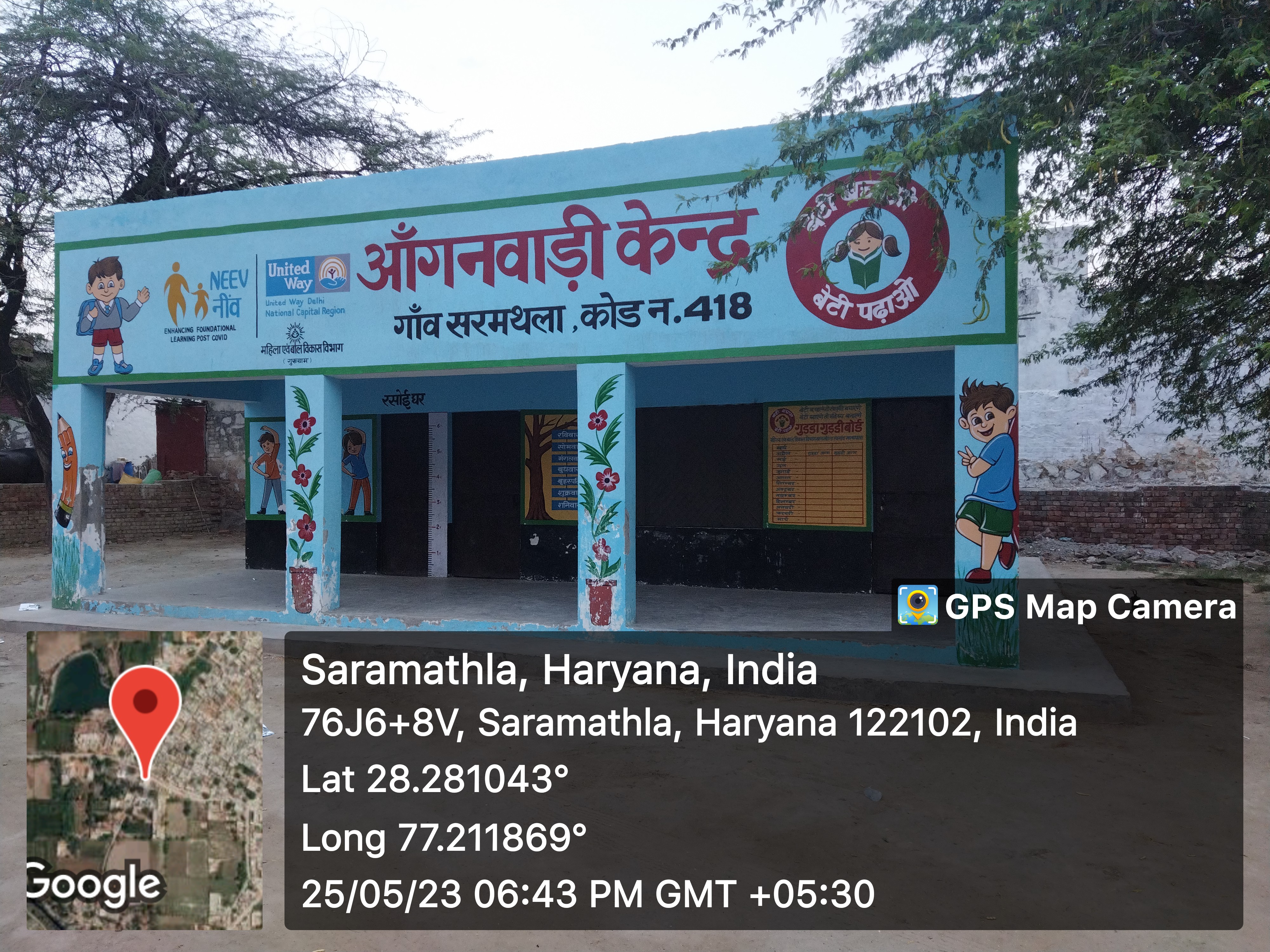
- Anganwadi
- - Anganwadi Incharge
- 3
- - Anganwadi Code
- 418, 419, 420
- - Anganwadi Staff
- 418: Incharge: Mrs. Santosh
- 419: Incharge: Mrs. Meenakshi
- 420: Incharge: Mrs. Rachana
- - Anganwadi Strength
- around 30-40 in all anganwadi
- - Anganwadi Helper
- 418: Mrs. Indra
- 419: Mrs. Kavita
- 420: Mrs. Meena
- Primary School
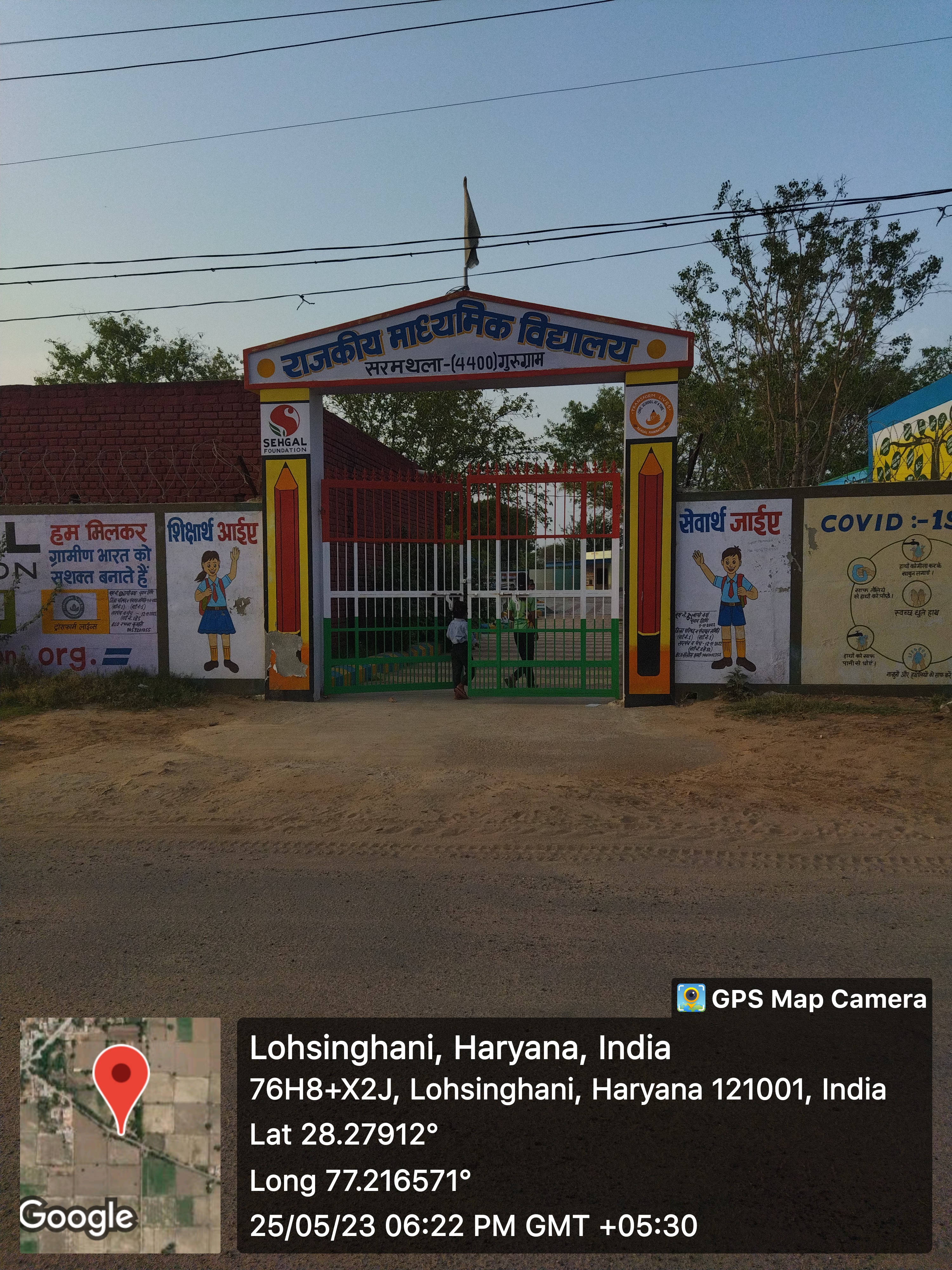
- 1
- Secondary School
-
- Colleges
-
- Tuition Teachers
-
- ITI
-
- University
-
- Coaching Centre
-
- Student Profile
-
Industry
- Type of Industries based on size
-
- Type of Industries based on domain / product
-
- Work force Type
-
Health
- Hospitals
-
- Dispensaries
-
- CHC
-
- PHC
-
- Sub-health centers
-
- Facilities
-
- Medical stores with Timing
-
- Chemist shops
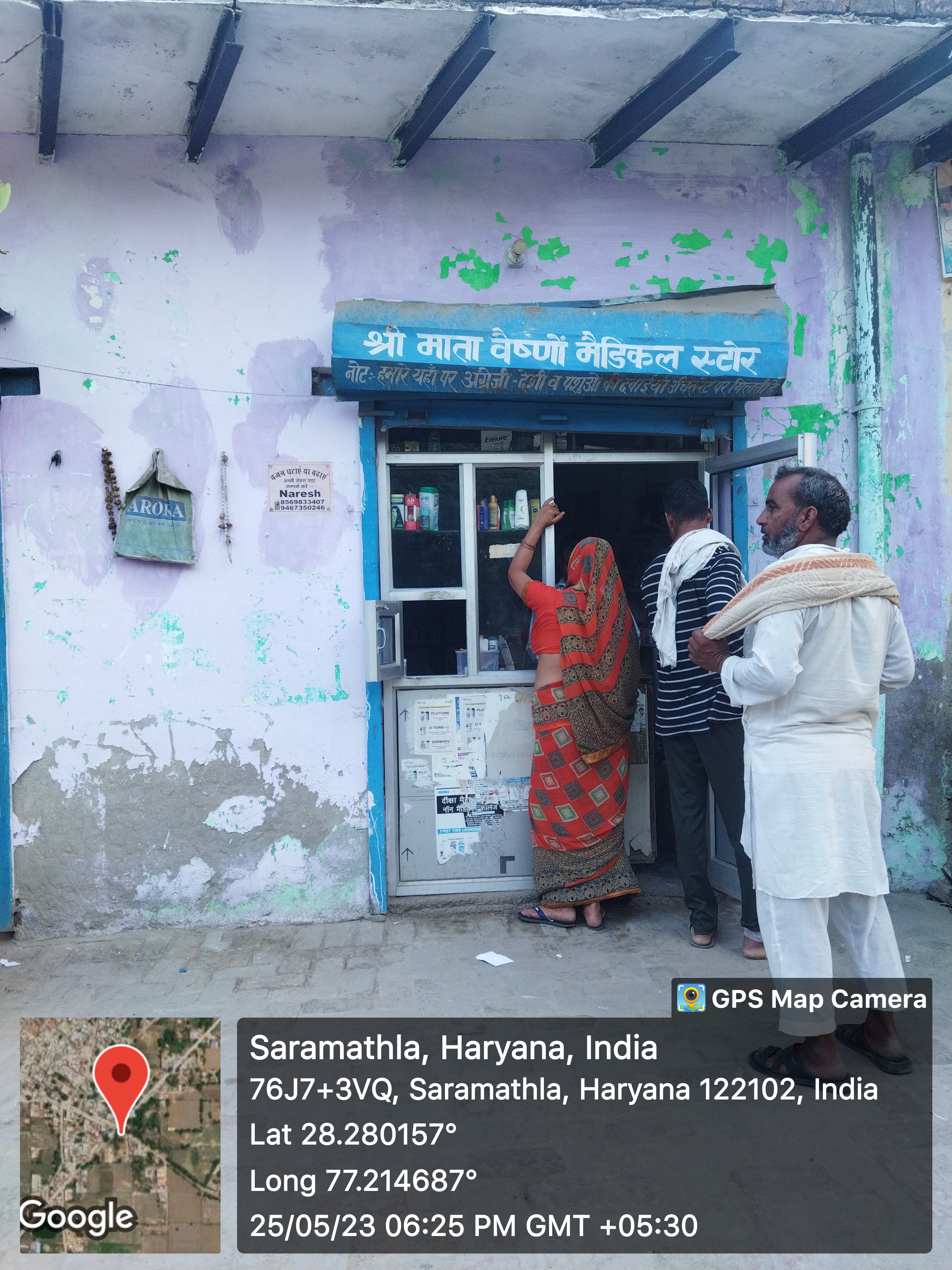
- 1
- Colleges
-
- Mal-Nutritions Data
-
- Pregnant Women Data
-
- Juvenile Committees
-
Banks
- Banks with branches
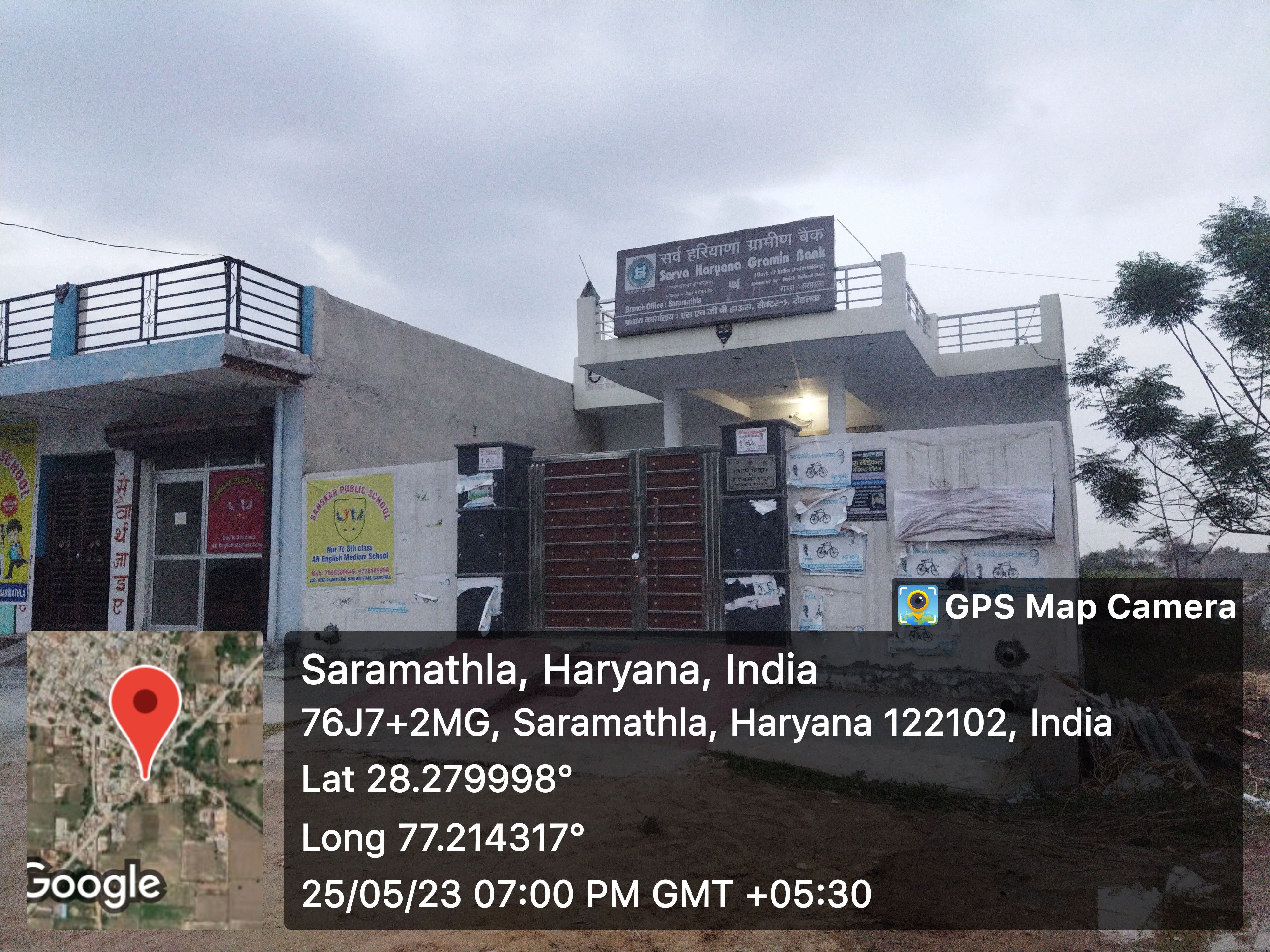
- Sarva Haryana Gramin Bank
- ATMâs
-
- Financial Institutions
-
- Non Financial Institutions
-
- Business Correspondents
-
Social
- Old Age Pension
-
- Disabled Pension
-
- Scholarships
-
- Ration Card
-
- BPL Card
-
- Chirayu Card
-
- ESI Card
-
Bio Diversity
- Flora Species
-
- wheat, bazra, mustard
Commercial / Business
- Shops
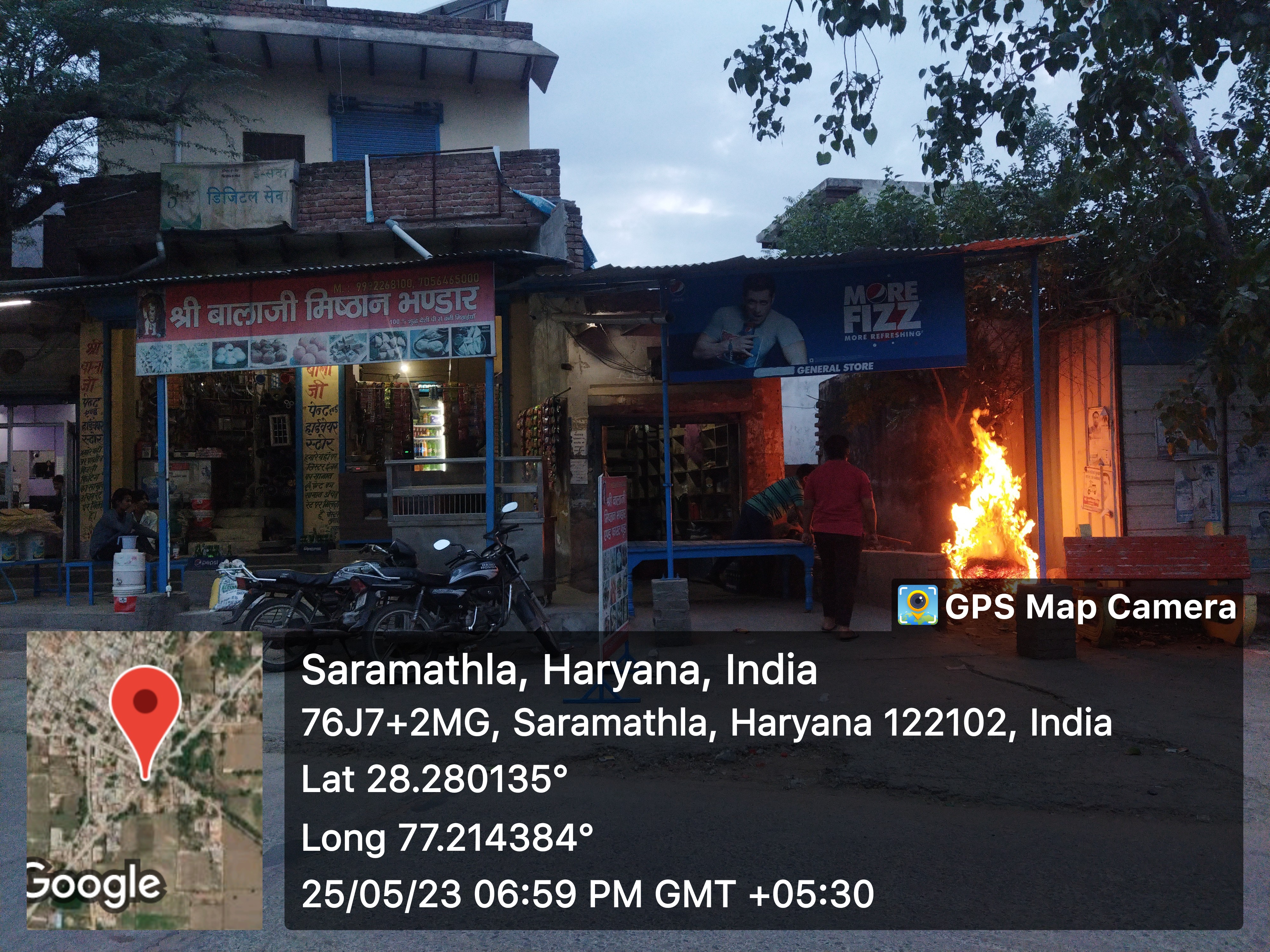
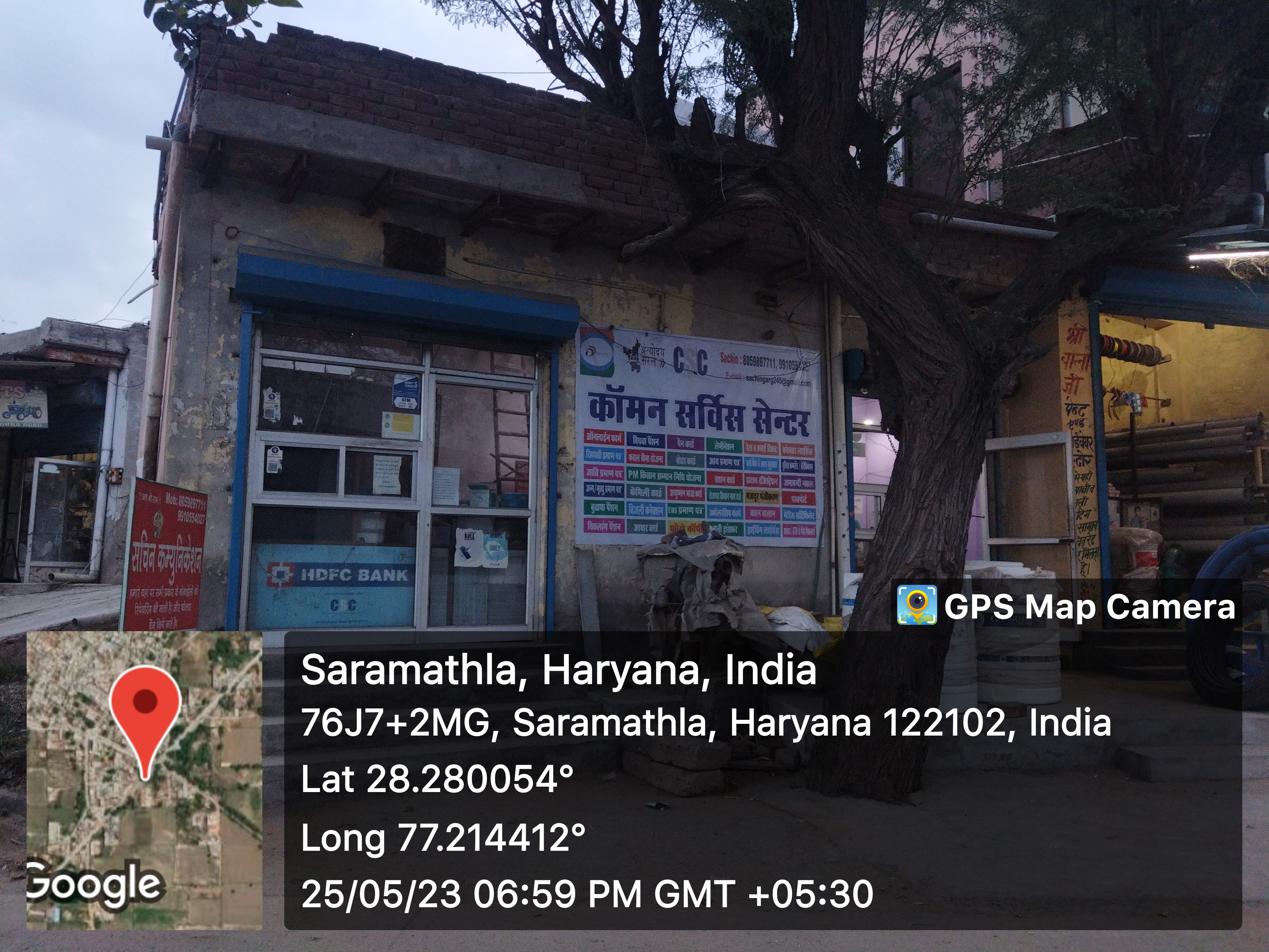
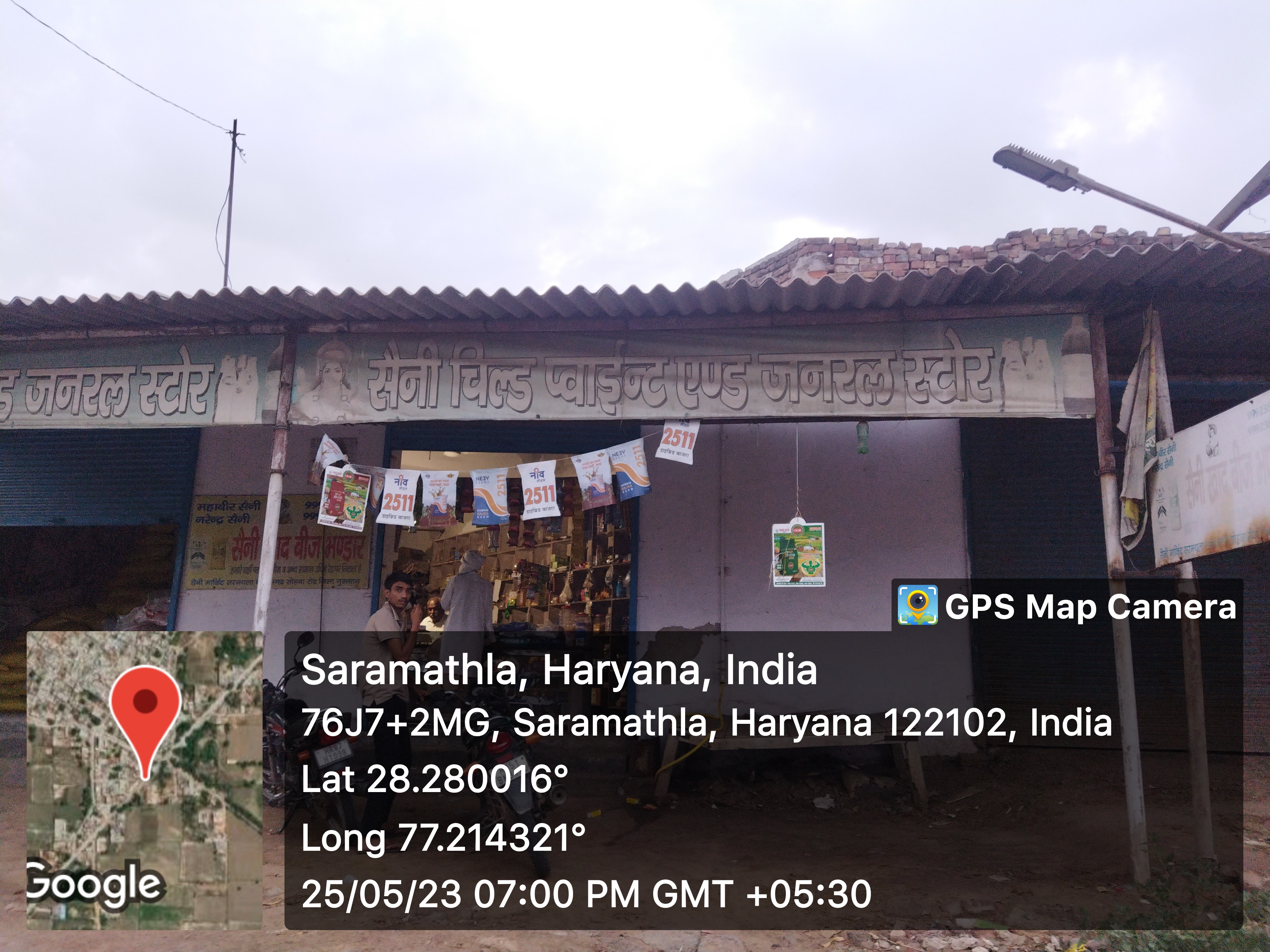
- - General Store
- 11
- - Hardware
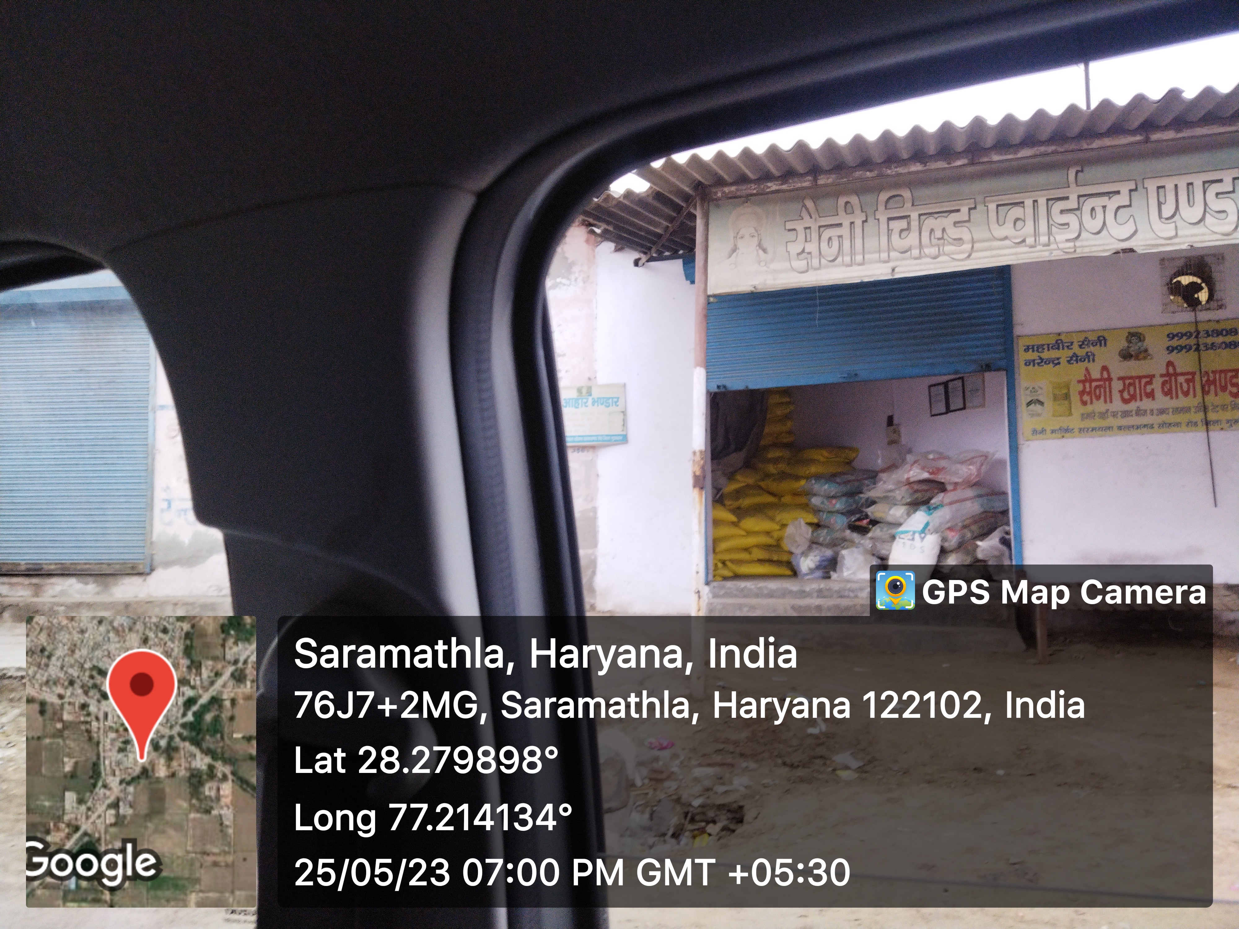
- - Seeds
- 1
- - Grocery
- - Textile
- Showrooms
-
- Warehouses
-
- Cold Storage
-
- Courier/Postal
-
- Resort/Hotel
-
Supply Chain Management
- Hafed/Other
-
Aquifer Information
- General Information
- - Geographical area :
- - Basin/Sub basin :
- - Principal Aquifer system :
- - Major Aquifer System :
- - Normal Annual Rainfall :
- Aquifer Disposition
- - Aquifer Disposition :
- - Satus of GW Exploration :
- - Aquifer Characteristics :
- - CGWB Monitoring Status :
- - GW Quality :
- - Aquifer Potential :
- Aquifer Management Plan
- - GW Management Issues :
- - GW Resource :
- - GW Stage of Development (%) :
- - Existing and Future Water Demand :
- - GW Management Plan :
- - AR & Conservation Possibilities:
How to reach?
Source links on below
| Place | Type | Lat-Long | Link |
|---|---|---|---|
| Ponds | Wet | 28.283595791382655, 77.21559061675549 | https://goo.gl/maps/6BbtGRBqr2EU6Fw18 |
| 28.28407930925815, 77.21456879255983 | https://goo.gl/maps/uQricUcjicxVqVbm8 | ||
| 28.282338246022274, 77.21095177541534 | https://goo.gl/maps/38vJ3CDSR9DFoChr7 | ||
| 28.278517145526926, 77.21322268526885 | https://goo.gl/maps/V8D8GCEbTLczfFTV9 | ||
| Dry | - | - | |
| Streets | Kacchi | 28.283458395789552, 77.2170609785178 | https://goo.gl/maps/kkkgm7Bp591C8MeJ8 |
| Pakki | - | - | |
| Land | - | - | |
| Assets | - | - | |
| Buildings | 28.28346773324662, 77.2172540383487 | https://goo.gl/maps/QQY2rHo7w6TxEQKF7 | |
| 28.28157785490778, 77.21326746917465 | https://goo.gl/maps/52ukrZuPQyYpo2sd9 | ||
| 28.282805809324625, 77.21322932544237 | https://goo.gl/maps/4eu2brt3GW2yCybe6 | ||
| Death rituals | Shamshanghat | 28.282176232020802, 77.21582877656124 | https://goo.gl/maps/iPhnSTdu3W9Xxdp98 |
| Kabristan | 28.282167788519164, 77.21155916596848 | https://goo.gl/maps/gZRY6CNXYF4wQjoq6 | |
| Religious Places | Mandir | 28.28302663793383, 77.21320876519245 | https://goo.gl/maps/kVWAsTJo6PhKDSHk7 |
| 28.281129972487907, 77.21154209371954 | https://goo.gl/maps/oCjZoYgTSwjXUwJ4A | ||
| 28.281019162399254, 77.21424012500022 | https://goo.gl/maps/piUxp8TXnBrtBA5h8 | ||
| Masjid | 28.28300849219985, 77.21514693491964 | https://goo.gl/maps/iyngag8hcBdz6DbPA | |
| Church | - | - | |
| Gurudwara | - | - | |
| Khera | - | - | |
| Layout plans | - | - | |
| Stadiums | - | - | |
| Parks | - | - | |
| Gyms | - | - | |
| Library | - | - | |
| Mobile Towers | - | - | |
| BharatNet | - | - | |
| Substation (Electricity) | - | - | |
| Electricity Poles | - | - | |
| Industrial Infra | - | - | |
| Post offices | - | - |
Village Requirement Sarmathala
| Sr.No | Requirement Description | Published Date | Quantity | Estimated Amount | Requirement Applicable | Status |
|---|---|---|---|---|---|---|
| 1 | ||||||
| 2 | ||||||
| 3 | ||||||
| 4 |