Daulha Old
Jump to navigation
Jump to search
Daulha village is located in Sohna tehsil of Gurgaon district in Haryana, India. It is situated 8km away from sub-district headquarter Sohna (tehsildar office) and 33km away from district headquarter Gurgaon. As per 2009 stats, Daulha is the gram panchayat of Daula village. Daula Pin code is 122103 and postal head office is Sohna.
| Daulha - Village Overview | |
|---|---|
| Gram Panchayat : | Daulha |
| Block / Tehsil : | Sohna |
| District : | Gurgaon |
| State : | Haryana |
| Pincode : | 122103 |
| Area : | 436 hectares |
| Population : | 3,069 |
| Updated Population : | - |
| Households : | 551 |
| Assembly Constituency : | Sohna |
| Parliament Constituency : | Gurgaon |
- Panchayat
- Demographic
- - Total Population
- 3069
- - Male
- 1610
- - Female
- 1459
- - Sex Ratio - Ratio of: 1000
- 906
- - No. of Voters
- - Updated Population
- Historical
- - History of Village
- Current Panchayat
- -Sarpanch
- Mr. Bimlesh
- - Panch
- Mr. Roop singh
- Mr. Narender Tomer
- Nanak Chandra
- Mrs. Sushma Swaraj
- Mrs. Baby
- Mr. Neeraj
- Amit Kumar
- Mrs. Arti
- Mrs. Anshu
- Old Panchayat Body
-
- Eminent Person
- - Eminent Person
- Neha Raghav D/O Mr.Satish Raghav (assistant commandant ITBP)
- Shakti Singh Raghav(NDA Officer Trainee) S/o:Hukum Singh Raghav
- - Sports
- - Political
- - Govt. Services
- - Armed Forces/Freedom Fighters
- - Industrialist
- - NRI
- - Religious Sect Head
- Administrative Staff
- - Gram Sachiv
- Irshad Ali
- - Sarpanch
- Mr. Bimlesh
- - VLDA
- - Revenue Patwari
- - ADO
- - Forest Ranger
- - Asha Worker
- - Principal
- - Anganwadi Incharge
- - Lineman
- - Tubewell Operator
- - Chowkidar
- - JE Panchayati Raj
- - JE Public Health Department
- - JE Irrigation
- Geography Of Daulha
- - East
- - West
- - North
- - South
- - Water Level
- Self Help Group
- - Famous Product manufactured
- Youth Club
-
- Livestock
- - Majority Type of Animals
- - Variety of animal
- Tourist Spot
-
- Agriculture
-
- Products / Soil Maps / crops / Farmer Data / Soil Health data / irrigation source / Crop Pattern / Land holding
Infrastructure

- Ponds
- - Wet
- 1
- - Pond 1
- - Area as per Revenue Record
- Source Link: http://hpwwma.org.in
- - Area as per Revenue Record
- - Actual Area at Site (in acre)
- 1.5
- - Actual Area at Site (in acre)
- - Latitude (in Deg-Min-Sec)
- 28°16'08N
- - Latitude (in Deg-Min-Sec)
- - Longitude (in Deg-Min-Sec)
- 77°07'03E
- - Longitude (in Deg-Min-Sec)
- - Whether the Pond is WETLAND as Identified by HARSAC
- No
- - Whether the Pond is WETLAND as Identified by HARSAC
- - Source of filling the Pond
- Rain Fed
- - Source of filling the Pond
- - Details of Encroachments on the Pond
- No
- - Details of Encroachments on the Pond
- - Whether the Pond is in Abadi Area
- Yes
- - Whether the Pond is in Abadi Area
- - Remarks
- Scheme: Amrit-Sarovar Dep.:(PR-PW) Year:2022-23
- - Remarks
- - Dry
- Streets
- - Kacchi
- - Pakki
- Land
-
- Assets
-
- Buildings
-
- Death rituals

- - Shamshanghat
- 1
- - Kabristan
- 1
- Religious Places
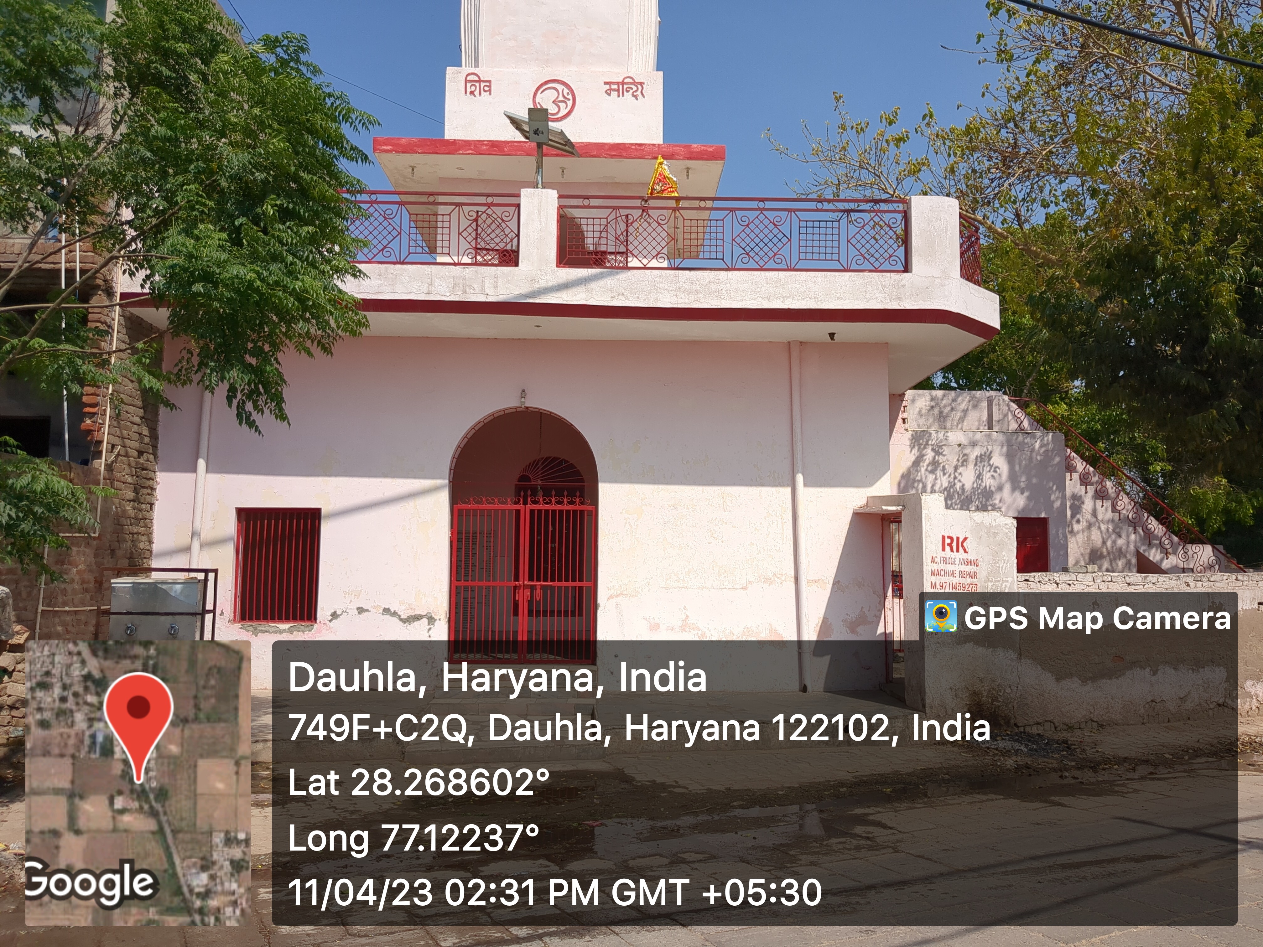

- - Mandir
- 2
- - Masjid
- - Church
- - Gurudwara
- - Khera
- Layout plans

- 1(holi chauk)
- Stadiums
-
- Parks
-
- Gyms
-

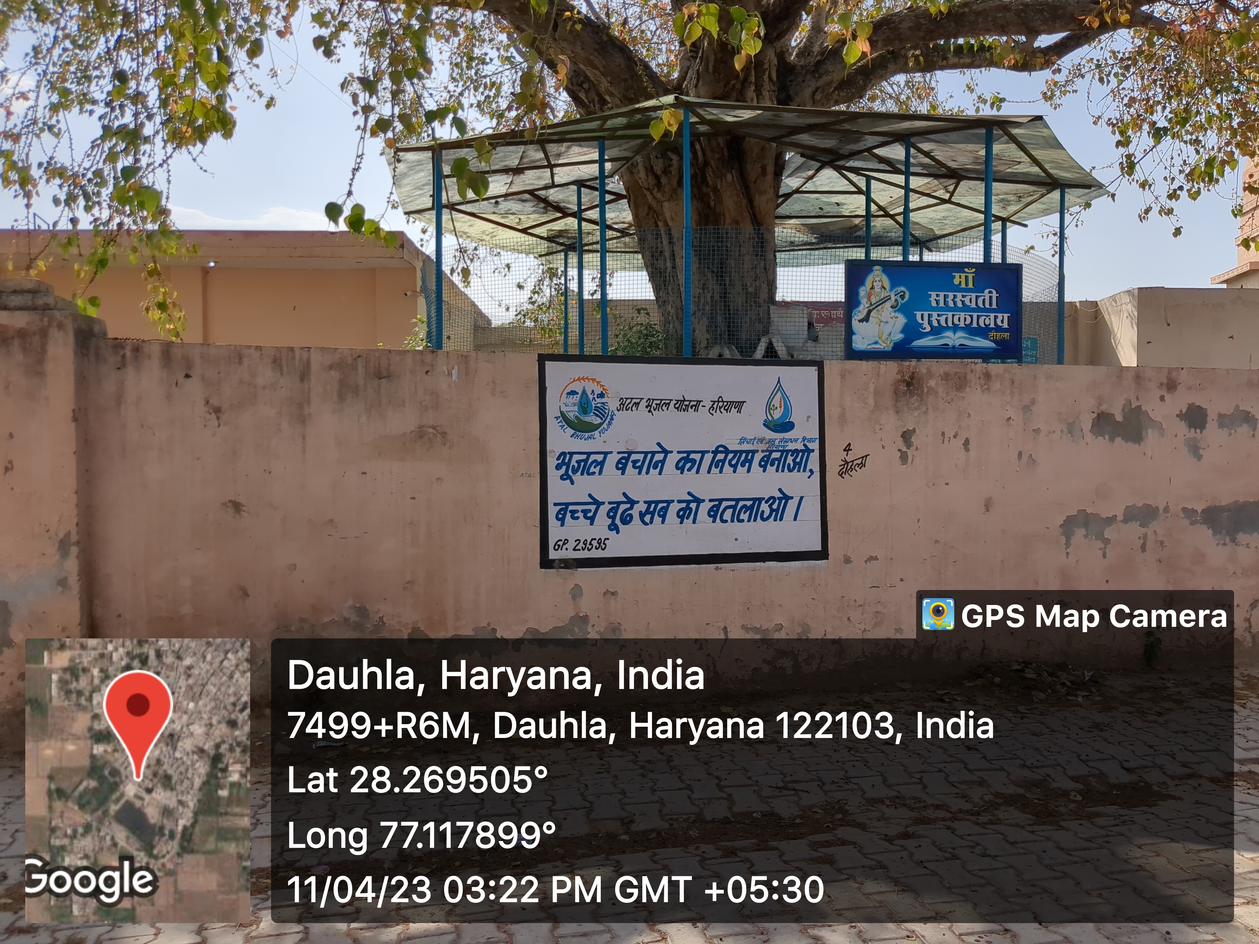
- Library
-
- Mobile Towers


- BharatNet
-
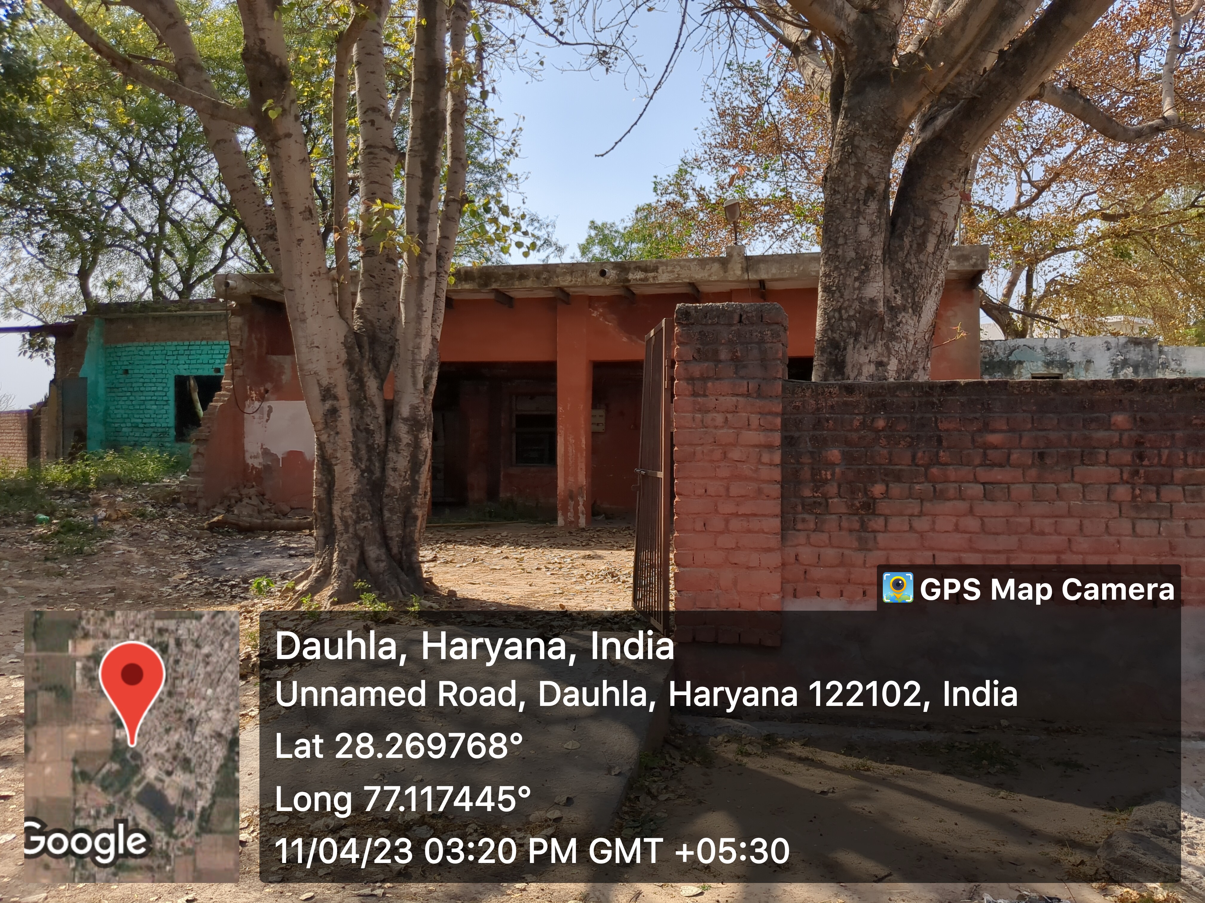
- Substation (Electricity)
-
- Electricity Poles
-
- Industrial Infra
-
- Post offices

- 1
- Post Master: Mr. Ashok Raghav
Education
- Anganwadi


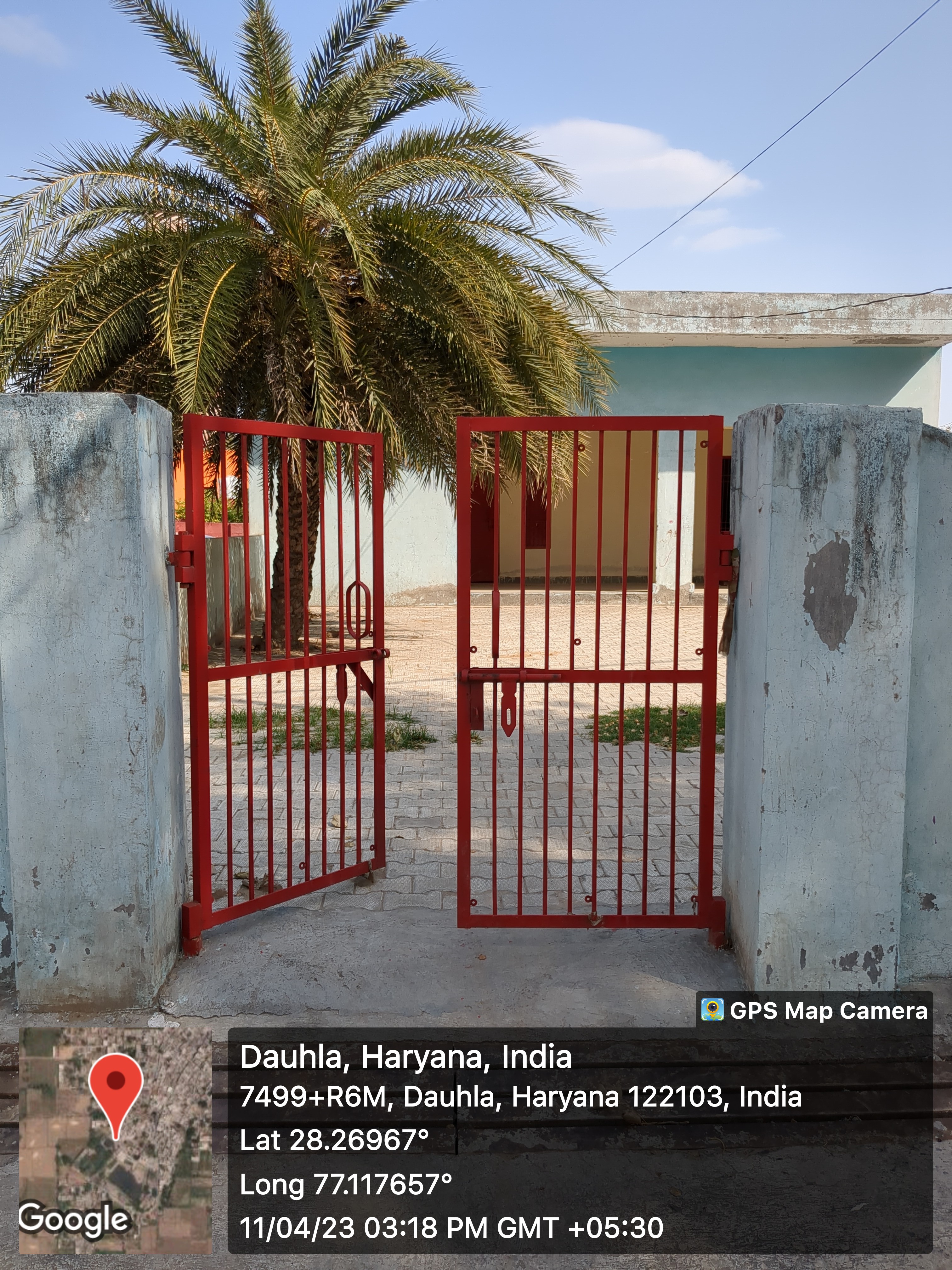

- - Anganwadi Incharge
- 4
- - Anganwadi Code
- - Anganwadi Staff
- - Anganwadi Strength
- - Anganwadi Helper
- Primary School


- 2
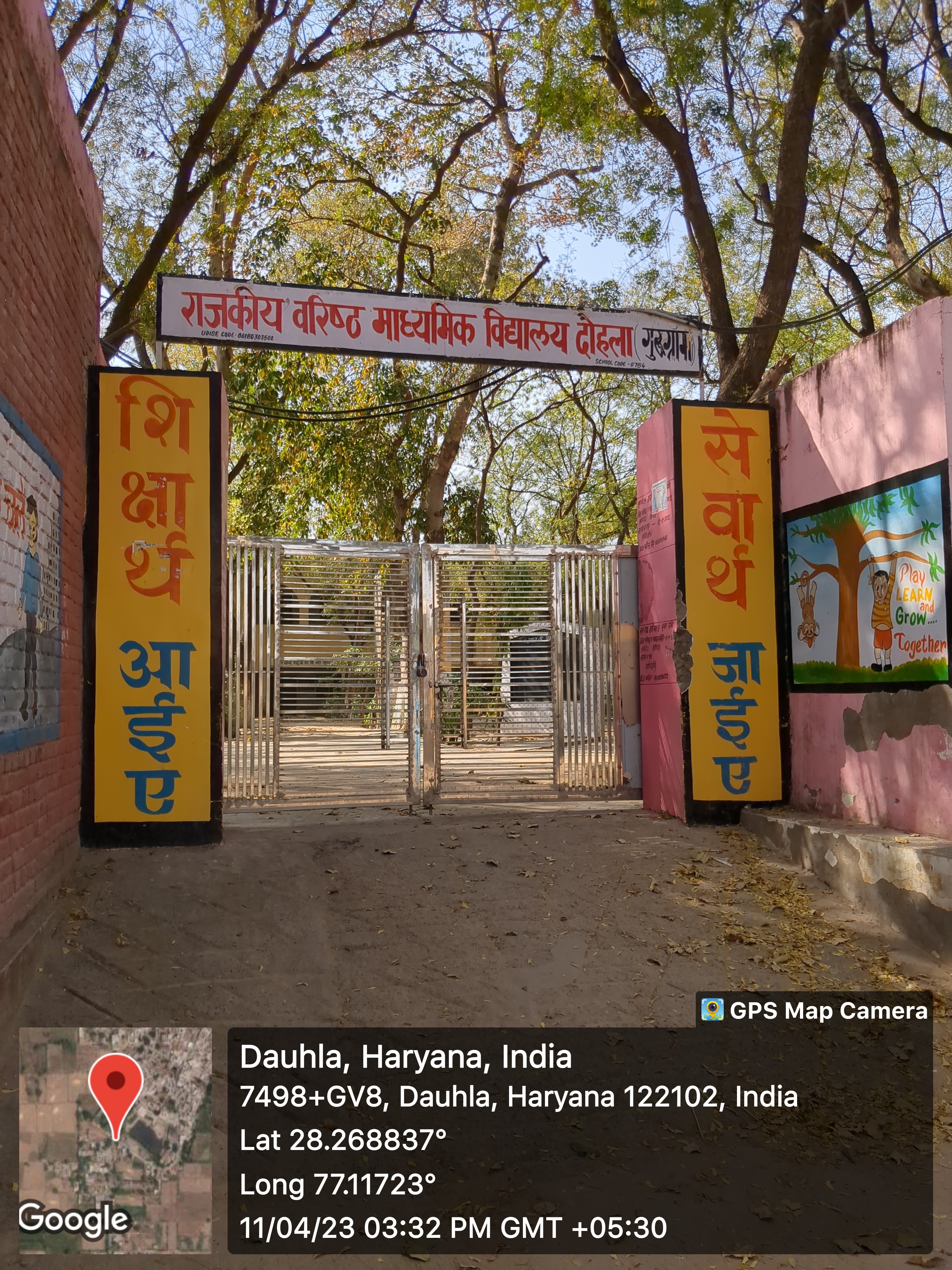
- Secondary School
-
- 2

- Colleges
-
- Tuition Teachers
-
- ITI
-
- University
-
- Coaching Centre
-
- Student Profile
-
Industry

- Type of Industries based on size
-
- 1 bakery
- Type of Industries based on domain / product
-
- Work force Type
-
Health
- Hospitals
- Dispensaries
-
- 1
- CHC
-
- PHC
-
- 1
- Staff: 3
- Dr. Ankit CHO
- Mrs. Poonam PSW
- Bhup Singh
- Sub-health centers
-
- Other medical facilities
-
- 1
- Medical stores with Timing
-
- Chemist shops
-
- 1
- Educational â Colleges
-
- Mal-Nutritions Data
-
- Pregnant Women Data
-
- Juvenile Committees
-
Banks
- Banks with branches
-
- 2
- - Yes Bank:
- Manager: Mr. Lokesh
- Cashier: Mr. Rahul
- - Gramin Bank:
- Manager: Mr. Sunil Kumar
- Cashier: Amit Singh
- ATMâs
-
- Financial Institutions
-
- Non Financial Institutions
-
- Business Correspondents
-
Social
- Old Age Pension
-
- Disabled Pension
-
- Scholarships
-
- Ration Card
-
- BPL Card
-
- Chirayu Card
-
- ESI Card
-
Bio Diversity
- Flora Species
-
- wheat, bazra, mustard
Commercial / Business
- Shops
- - General Store
- 25
- - Hardware
- - Seeds
- - Grocery
- Showrooms
-
- Warehouses
-
- Cold Storage
-
- Courier/Postal
-
- pin: 122103
Supply Chain Management
- Hafed/Other
-
Aquifer Information
- General Information
- - Geographical area :
- - Basin/Sub basin :
- - Principal Aquifer system :
- - Major Aquifer System :
- - Normal Annual Rainfall :
- Aquifer Disposition
- - Aquifer Disposition :
- - Status of GW Exploration :
- - Aquifer Characteristics :
- - CGWB Monitoring Status :
- - GW Quality :
- - Aquifer Potential :
- Aquifer Management Plan
- - GW Management Issues :
- - GW Resource :
- - GW Stage of Development (%) :
- - Existing and Future Water Demand :
- - GW Management Plan :
- - AR & Conservation Possibilities:
Soil Health
| GPS_Longitude_1 | GPS_Latitude_1 | Farmer_name | Gender | Irrigated_Rainfed | Irrigation_Source | Total_Area | PH | EC | OC | B | CU | FE | K | MN | P | S | ZN |
|---|---|---|---|---|---|---|---|---|---|---|---|---|---|---|---|---|---|
| 75.2626167 | 29.2327667 | IKBAL SINGH, MUKHTIYAR SINGH, LABH SINGH | Male | Irrigated | Tube well | 2 | 8.23 | 0.203 | 0.354 | 2.895 | 1.646 | 12.09 | 138.8128 | 0.5793 | 8.07744 | 38.08 | 0.8254 |
| 75.2521 | 29.2194 | SADHU, JASHPAL SINGH, JASHBIR SINGH | Male | Irrigated | Tube well | 8 | 8.51 | 0.187 | 0.4185 | 2.449 | 2.883 | 13 | 91.1008 | 0.8608 | 8.85024 | 40.79 | 1.535 |
| 75.2384667 | 29.331583 | DARSHAN, TEZA SINGH, NAJAM SINGH | Male | Irrigated | Tube well | 8 | 8.48 | 0.181 | 0.3585 | 2.791 | 1.796 | 8.892 | 138.1184 | 0.7697 | 8.36192 | 32.7 | 0.6849 |
| 75.2353 | 29.204783 | SOHAN LAL, SOHAN LAL, SHAB RAM | Male | Irrigated | Tube well | 5 | 8.51 | 0.178 | 0.375 | 2.644 | 2.274 | 14.56 | 121.0944 | 0.8556 | 8.50976 | 3.64 | 1.063 |
| 75.29935 | 29.2302167 | KARTAR, BANCHIT SINGH, HARBANS SINGH | Male | Irrigated | Tube well | 10 | 8.51 | 0.184 | 0.4095 | 2.61 | 2.469 | 22.43 | 170.8672 | 0.9035 | 9.48416 | 48.64 | 1.781 |
How to reach?
Source links on below
| Place | Type | Lat-Long | Link |
|---|---|---|---|
| Ponds | Wet | 28.26902435465857, 77.11794117696462 | https://goo.gl/maps/XcLKfpsPHHsf3Z459 |
| Dry | - | - | |
| Streets | Kacchi | - | - |
| Pakki | - | - | |
| Land | - | - | |
| Assets | - | - | |
| Buildings | - | - | |
| Death rituals | Shamshanghat | 28.2651144960923, 77.1155793862018 | https://goo.gl/maps/4t5L1YoLiWZkoKht7 |
| Kabristan | - | - | |
| Religious Places | Mandir | 28.268377121489063, 77.12207983319524 | https://goo.gl/maps/8U5hKC9eujQwAEeC7 |
| 28.269598868842664, 77.11833202508447 | https://goo.gl/maps/zZsZyYZsNNha9hPi6 | ||
| Masjid | - | - | |
| Church | - | - | |
| Gurudwara | - | - | |
| Khera | - | - | |
| Layout plans | - | - | |
| Stadiums | - | - | |
| Parks | - | - | |
| Gyms | 28.268568738585618, 77.11782677498822 | https://goo.gl/maps/QJviFjPbKAH1PqyH6 | |
| Library | - | - | |
| Mobile Towers | - | - | |
| BharatNet | - | - | |
| Substation (Electricity) | - | - | |
| Electricity Poles | - | - | |
| Industrial Infra | - | - | |
| Post offices | 28.268755539279823, 77.1176580214558 | https://goo.gl/maps/hu6uyvaNSEpMVvnm8 |
Village Requirement Daulha
| Sr.No | Requirement Description | Published Date | Quantity | Estimated Amount | Requirement Applicable | Status |
|---|---|---|---|---|---|---|
| 1 | ||||||
| 2 | ||||||
| 3 | ||||||
| 4 |