Kuliyaka Village
Jump to navigation
Jump to search
Kuliyaka village is located in Sohna tehsil of Gurgaon district in Haryana, India. It is situated 15km away from sub-district headquarter Sohna (tehsildar office) and 39km away from district headquarter Gurgaon. As per 2009 stats, Kuliaaka is the gram panchayat of Kuliaka village.
| Kuliyaka - Village Overview | |
|---|---|
| Gram Panchayat : | Kuliyaka |
| Block / Tehsil : | Sohna |
| District : | Gurgaon |
| State : | Haryana |
| Pincode : | 122103 |
| Area : | 175 hectares |
| Population : | 1176 (2011) |
| Updated Population : | 3000+(2023) |
| Households : | 117 |
| Assembly Constituency : | Sohna |
| Parliament Constituency : | Gurgaon |
Panchayat
- Demographic
- - Total Population
- 1176 (2011)
- - Male
- 625
- - Female
- 552
- - Sex Ratio - Ratio of: 1000
- 846
- - No. of Voters
- 600(2023)
- - Updated Population
- 3000+(2023)
- Historical
- - History of Village
- Current Panchayat
- - Sarpanch
- Mr. Shaun
- 9728865283
- - Panch
- Mr. Yunus
- Mr. Ikram uddin
- Mr. Arif
- Mrs. Vinodbala
- Mrs. Ruksar
- Mrs. Tasreem
- Mr. Mustafa
- Old Panchayat Body
-
- Eminent Person
- - Eminent Person
- - Sports
- - Political
- - Govt. Services
- - Armed Forces/Freedom Fighters
- - Industrialist
- - NRI
- - Religious Sect Head
- Administrative Staff
- - Gram Sachiv
- Mr. Deepak Dahiya
- 7042244344
- - Sarpanch
- Mr. Shaun
- 9728865283
- - VLDA
- - Revenue Patwari
- - ADO
- - Forest Ranger
- - Asha Worker
- Mrs. Babita
- - Principal
- Mr. Birender
- 9991003759
- - Anganwadi Incharge
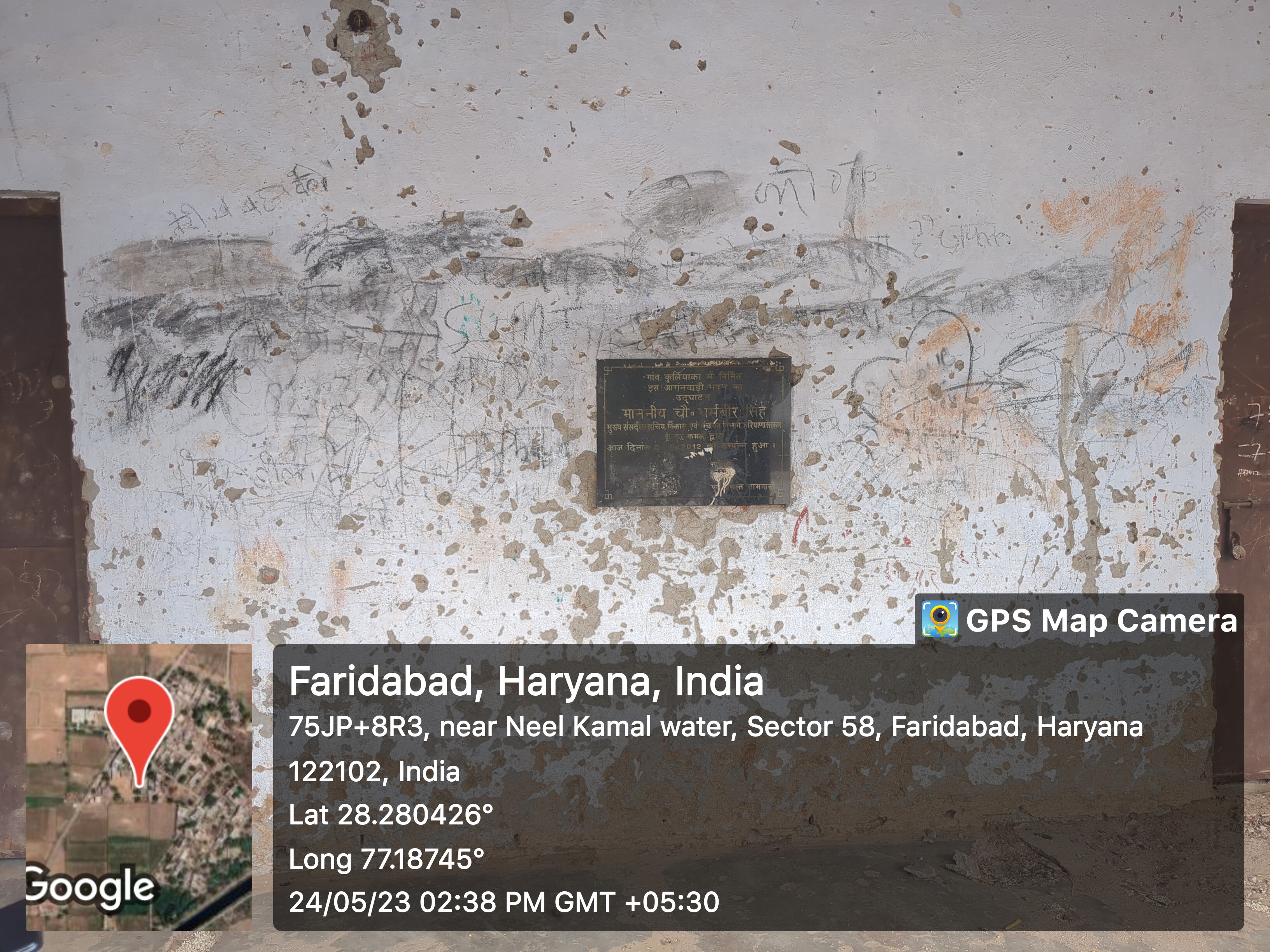
- Mr. Mukesh
- - Lineman
- Mr. Suresh
- 9671874185
- - Tubewell Operator
- - Chowkidar
- Mr. Mahesh
- 9950457130
- - JE Panchayati Raj
- Mr. Jahid
- - JE Public Health Department
- Mr. Sita Ram
- 9868097307
- - JE Irrigation
- Geography Of Kuliyaka
- - East
- - West
- - North
- - South
- - Water Level
- Self Help Group
- - Famous Product manufactured
- Youth Club
-
- Livestock
- - Majority Type of Animals
- Buffalo
- - Variety of animal
- 3(cow, Buffalo, goat)
- Tourist Spot
-
- Agriculture
-
- Products, Soil Maps, crops, Farmer Data, Soil Health data, irrigation source, Crop Pattern, Land holding
- wheat, bajara
Infrastructure
- Ponds
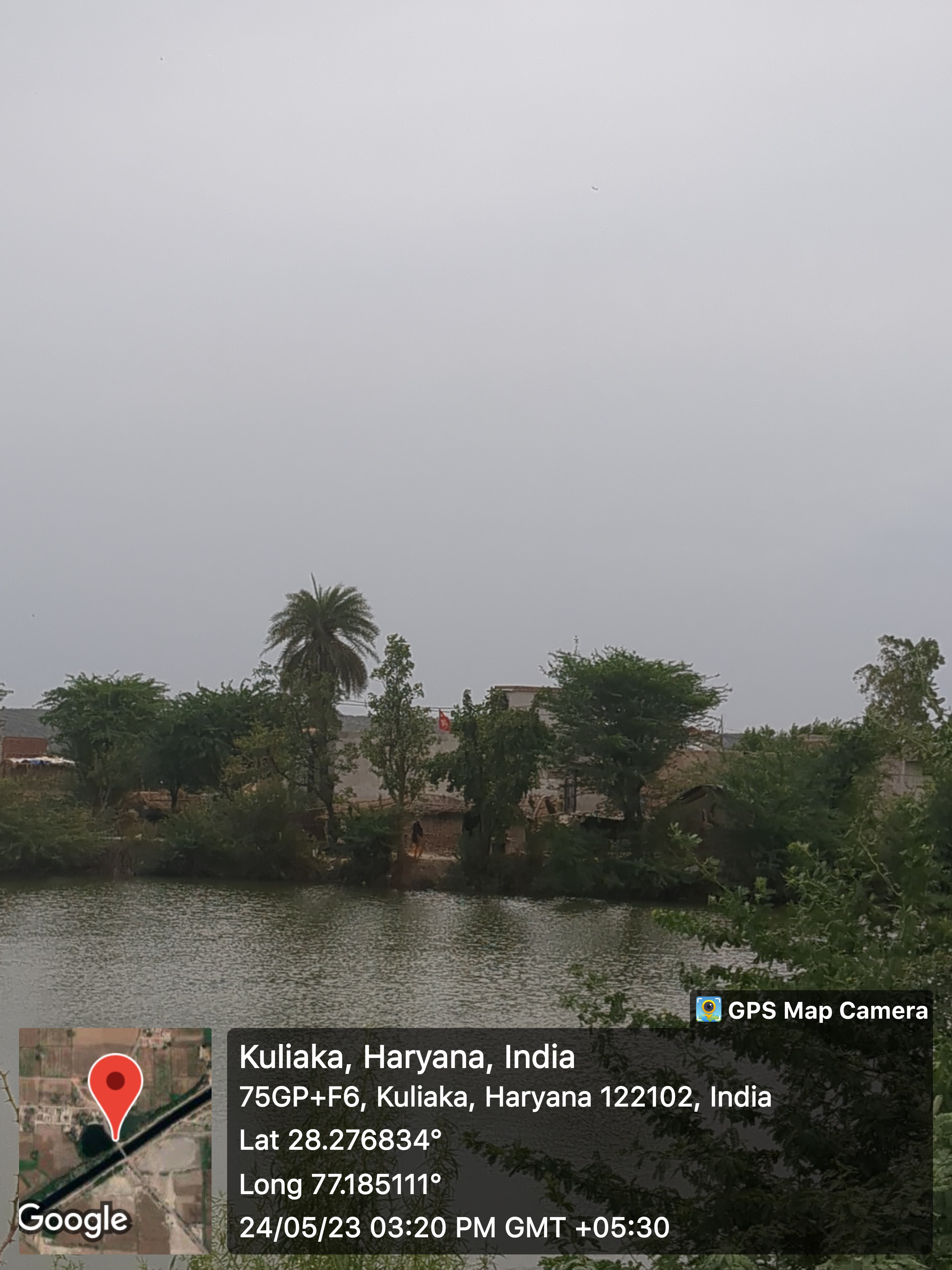
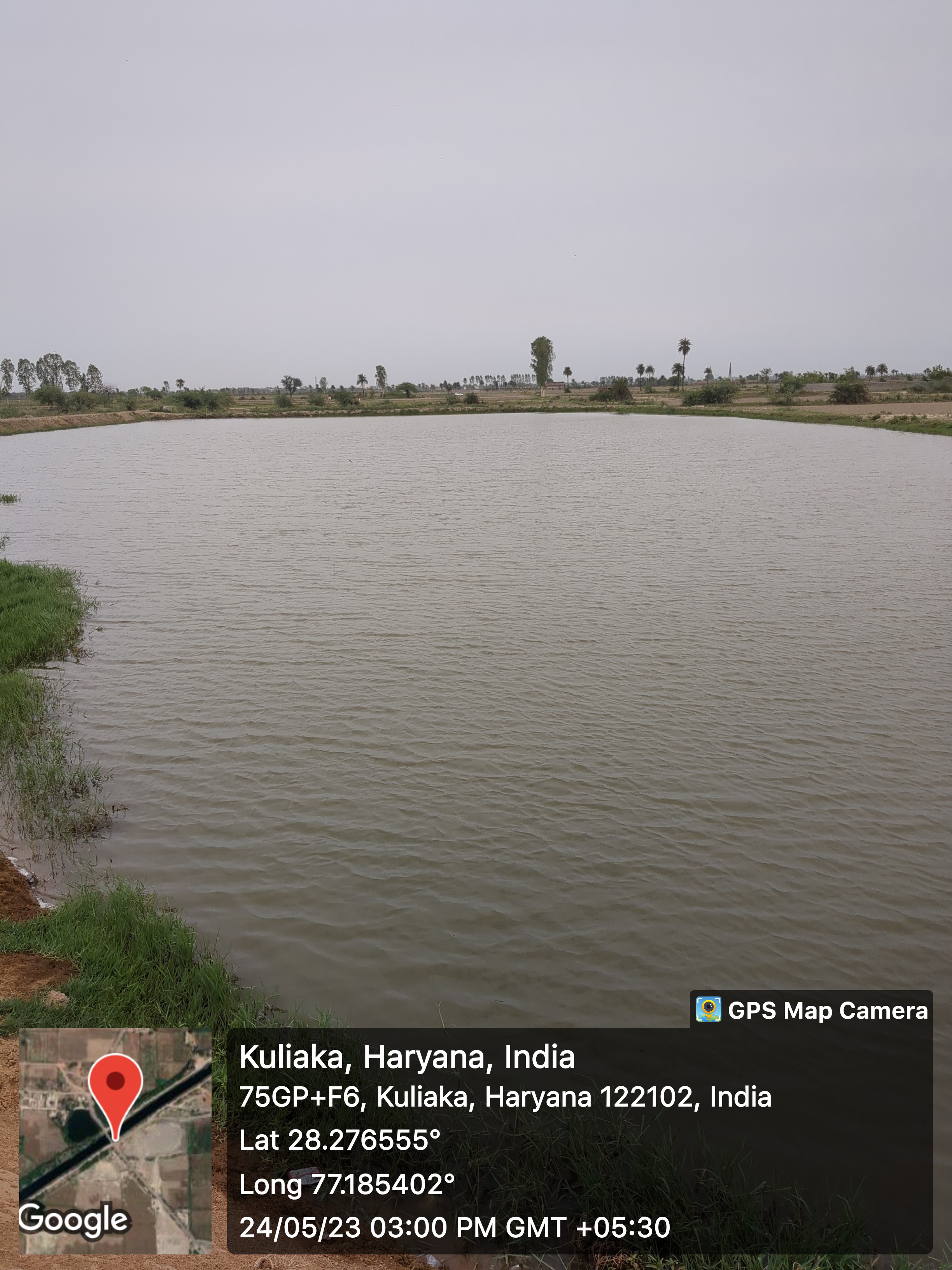
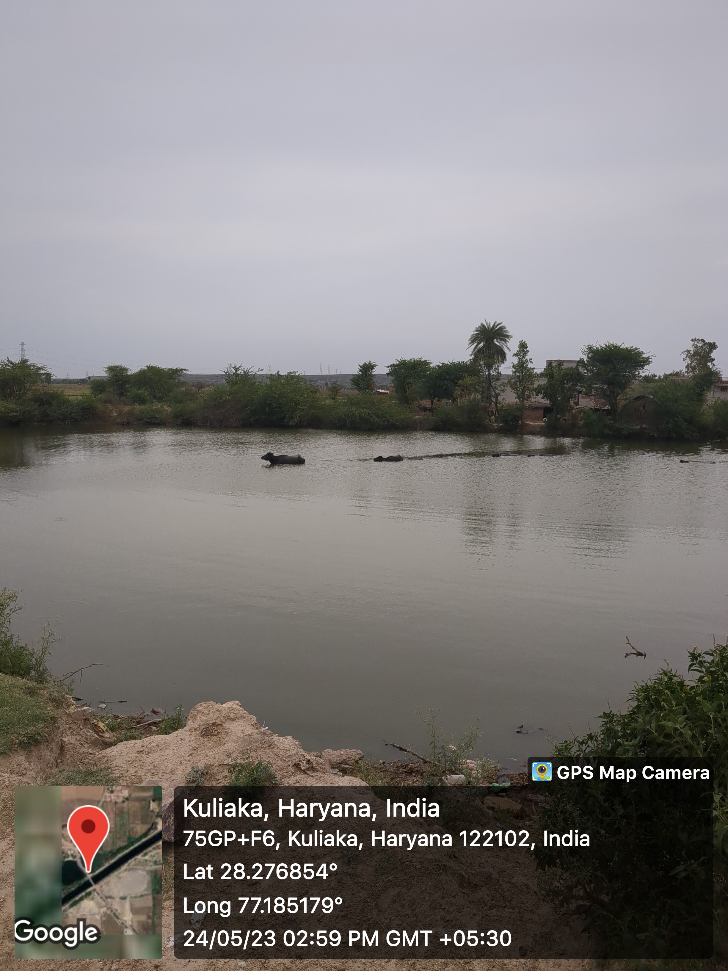
- - Wet
- 1
- - Pond 1
- - Area as per Revenue Record
- Source Link: http://hpwwma.org.in
- - Area as per Revenue Record
- - Actual Area at Site (in acre)
- 0.84
- - Actual Area at Site (in acre)
- - Latitude (in Deg-Min-Sec)
- 28°16'37N
- - Latitude (in Deg-Min-Sec)
- - Longitude (in Deg-Min-Sec)
- 77°11'06E
- - Longitude (in Deg-Min-Sec)
- - Whether the Pond is WETLAND as Identified by HARSAC
- No
- - Whether the Pond is WETLAND as Identified by HARSAC
- - Source of filling the Pond
- Canal
- - Source of filling the Pond
- - Details of Encroachments on the Pond
- No
- - Details of Encroachments on the Pond
- - Whether the Pond is in Abadi Area
- No
- - Whether the Pond is in Abadi Area
- - Remarks
- Listed in GMDA list and it is divided in three par
- - Remarks
- - Dry
- Streets
- - Kacchi
- - Pakki
- Land
-
- Assets
-
- Buildings
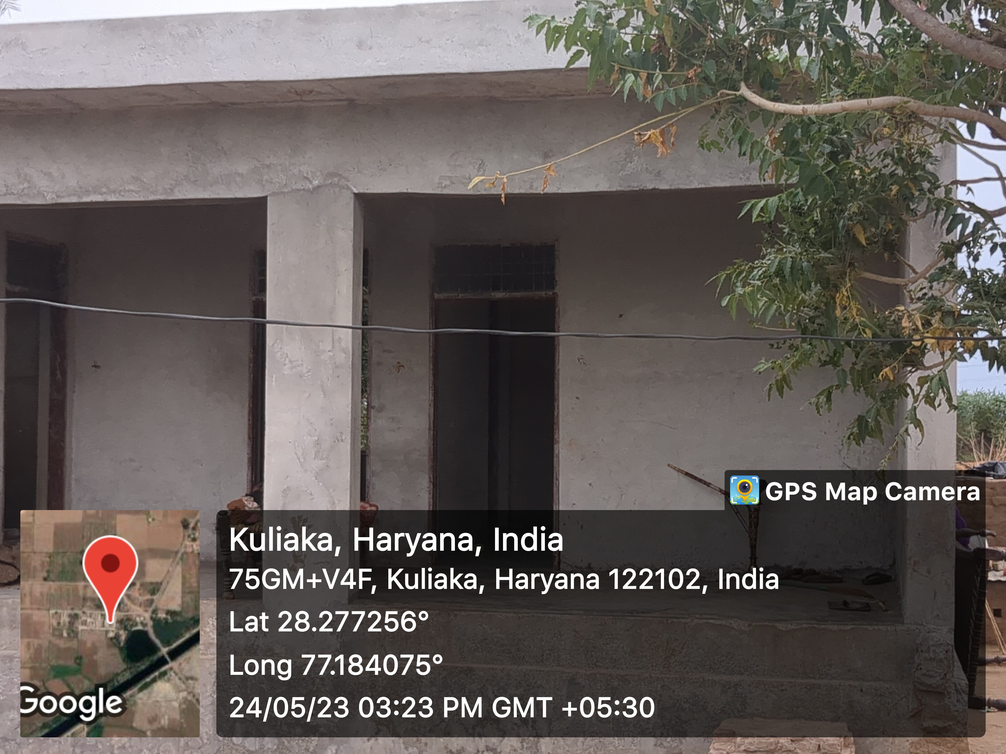
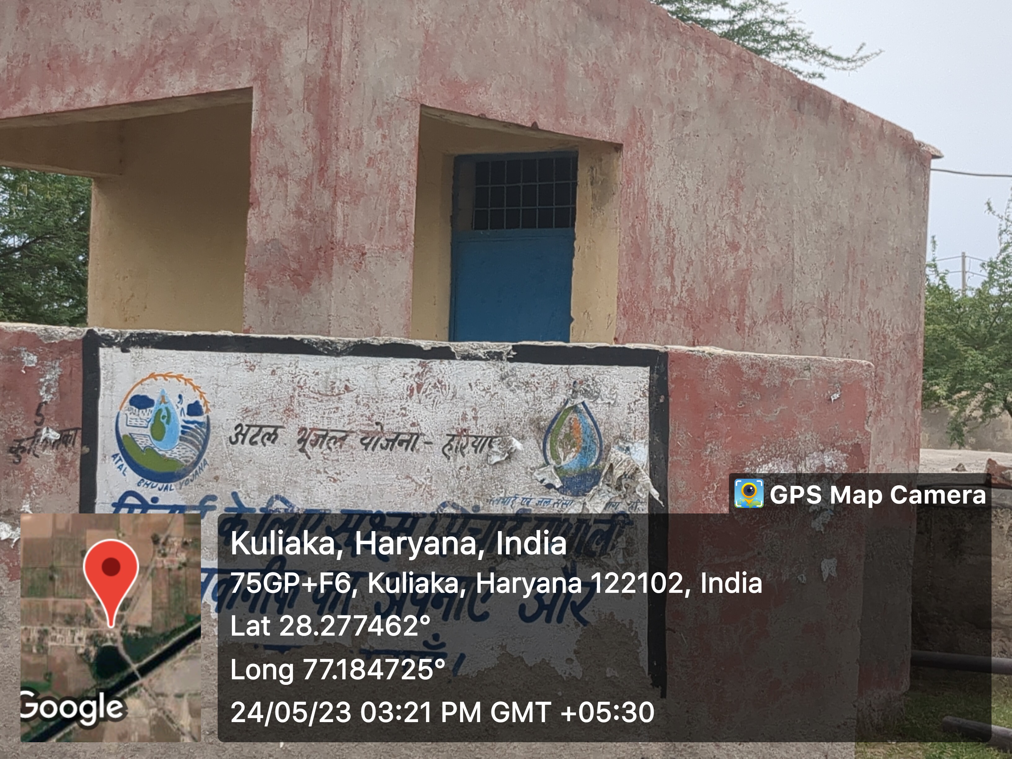
- SC Chopal
- Water reservoir
- Death rituals
- - Shamshanghat
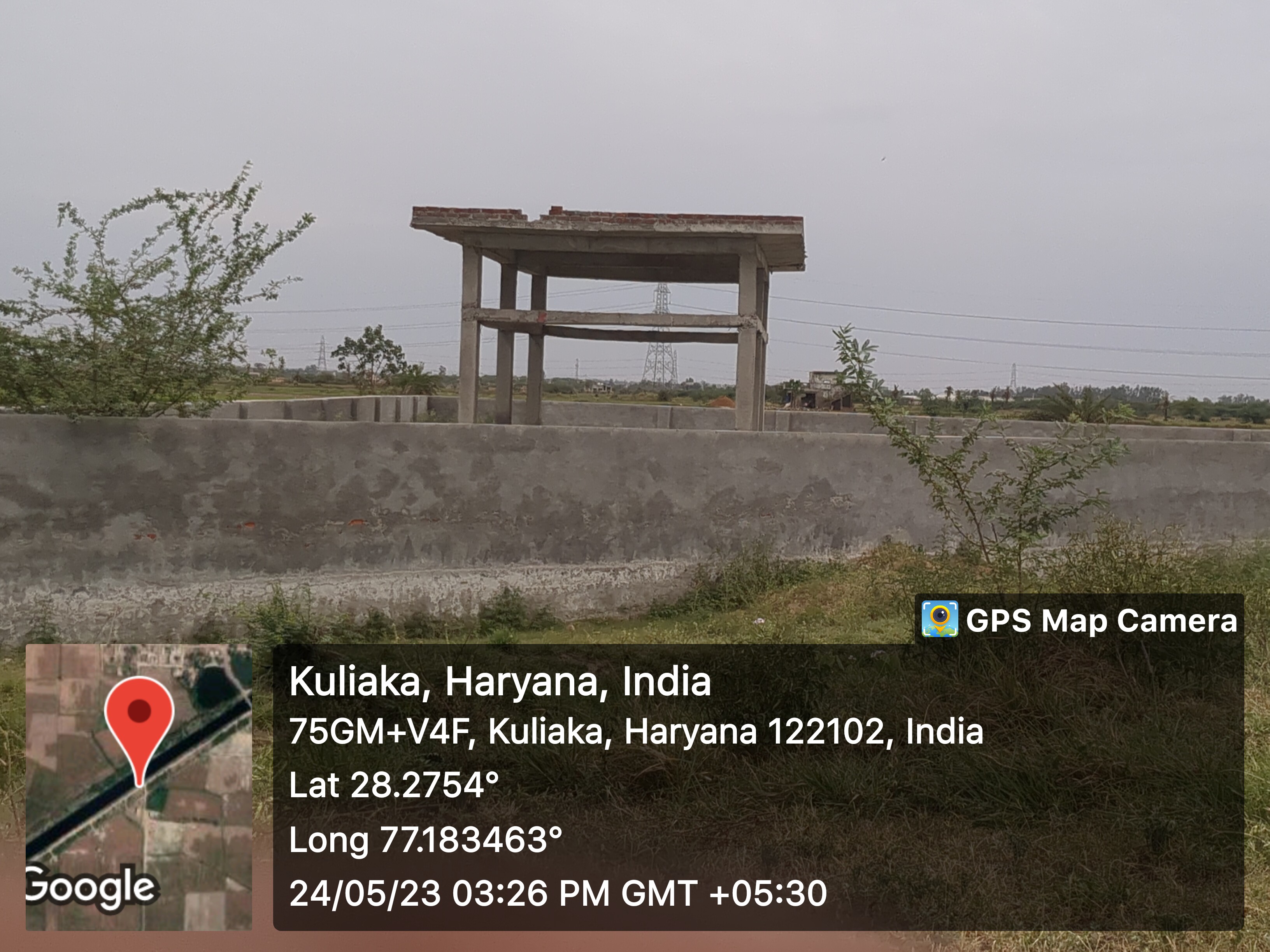
- 1
- - Kabristan

- 1
- Religious Places
- - Mandir
- - Masjid
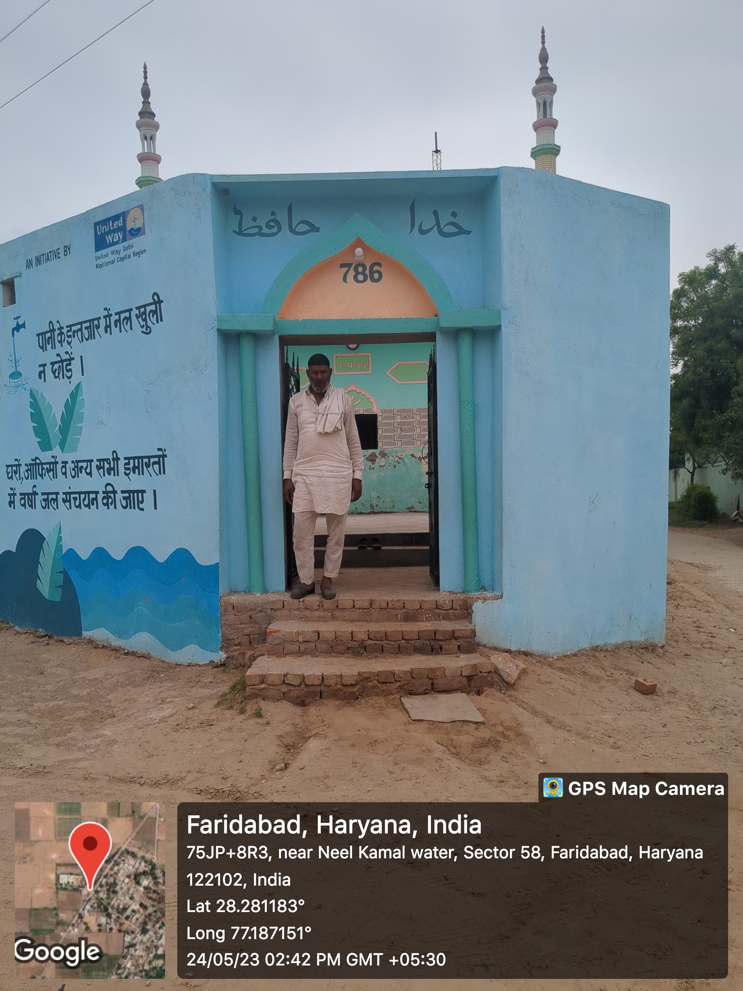

- 2
- - Church
- - Gurudwara
- - Khera
- Layout plans
-
- Stadiums
-
- Parks
-
- Gyms
-
- Library
-
- Mobile Towers
-
- BharatNet
-
- Substation (Electricity)
-
- Electricity Poles
-
- Industrial Infra
-
- Post offices
-
Education
- Anganwadi

- - Anganwadi Incharge
- 1
- Mr Mukesh
- - Anganwadi Code
- - Anganwadi Staff
- Babita
- - Anganwadi Strength
- - Anganwadi Helper
- Mrs. Raziya
- Primary School

- 1
- Rajkiya Prathmic Pathsala
- Principal: Mr. Birender, 9991003759
- Teaching Staff: 8
- Student Strength: 250
- Secondary School
-
- Colleges
-
- Tuition Teachers
-
- ITI
-
- University
-
- Coaching Centre
-
- Student Profile
-
Industry
- Type of Industries based on size
-
- Type of Industries based on domain / product
-
- Work force Type
-
Health
- Hospitals
-
- Dispensaries
-
- CHC
-
- PHC
-
- Sub-health centres
-
- Facilities
-
- Medical stores with Timing
-
- Chemist shops
-
- 1
- Colleges
-
- Mal-Nutritions Data
-
- Pregnant Women Data
-
- Juvenile Committees
-
Banks
- Banks with branches
-
- ATMâs
-
- Financial Institutions
-
- Non Financial Institutions
-
- Business Correspondents
-
Social
- Old Age Pension
-
- Disabled Pension
-
- Scholarships
-
- Ration Card
-
- BPL Card
-
- Chirayu Card
-
- ESI Card
-
Bio Diversity
- Flora Species
-
- wheat, bazra, mustard
Commercial / Business
- Shops
- - General Store

- 7
- - Hardware
- - Seeds
- - Grocery
- - Textile
- Showrooms
-
- Warehouses
-
- Cold Storage
-
- Courier/Postal
-
- pin: 122103
- Resort/Hotel
-
Supply Chain Management
- Hafed/Other
-
Aquifer Information
- General Information
- - Geographical area :
- - Basin/Sub basin :
- - Principal Aquifer system :
- - Major Aquifer System :
- - Normal Annual Rainfall :
- Aquifer Disposition
- - Aquifer Disposition :
- - Status of GW Exploration :
- - Aquifer Characteristics :
- - CGWB Monitoring Status :
- - GW Quality :
- - Aquifer Potential :
- Aquifer Management Plan
- - GW Management Issues :
- - GW Resource :
- - GW Stage of Development (%) :
- - Existing and Future Water Demand :
- - GW Management Plan :
- - AR & Conservation Possibilities:
How to reach?
Source links on below
| Place | Type | Lat-Long | Link |
|---|---|---|---|
| Ponds | Wet | 28.277051927566905, 77.1852529175061 | https://goo.gl/maps/94de4wKGSsH5zKxs5 |
| 28.276848754408668, 77.18478259301287 | https://goo.gl/maps/bQhAReJTC6DwDMoMA | ||
| Dry | - | - | |
| Streets | Kacchi | - | - |
| Pakki | - | - | |
| Land | - | - | |
| Assets | - | - | |
| Buildings | 28.277255407958435, 77.18403367886462 | https://goo.gl/maps/iy2tu52oKdyhwTPG9 | |
| 28.277468860950513, 77.18484181676988 | https://goo.gl/maps/W2zJZm7N1uL6sCtF6 | ||
| Death rituals | Shamshanghat | 28.275037866606336, 77.18344903963217 | https://goo.gl/maps/CE2yzEHRTkr39YCBA |
| Kabristan | 28.281111556413094, 77.18920208352836 | https://goo.gl/maps/oex1Km2jA9JHZG5v9 | |
| Religious Places | Mandir | - | - |
| Masjid | 28.281145891319632, 77.1869416189405 | https://goo.gl/maps/ZzesAwHRGjubdPELA | |
| 28.27969280635285, 77.18844296298371 | https://goo.gl/maps/o9krM5RBVLxtxpYu6 | ||
| Church | - | - | |
| Gurudwara | - | - | |
| Khera | - | - | |
| Layout plans | - | - | |
| Stadiums | - | - | |
| Parks | - | - | |
| Gyms | - | - | |
| Library | - | - | |
| Mobile Towers | - | - | |
| BharatNet | - | - | |
| Substation (Electricity) | - | - | |
| Electricity Poles | - | - | |
| Industrial Infra | - | - | |
| Post offices | - | - |